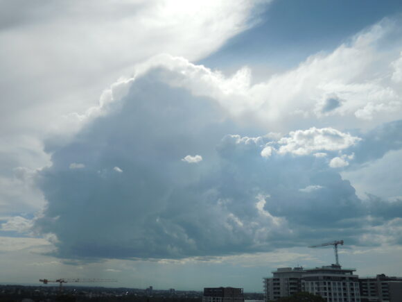
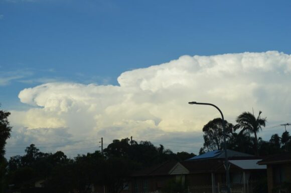
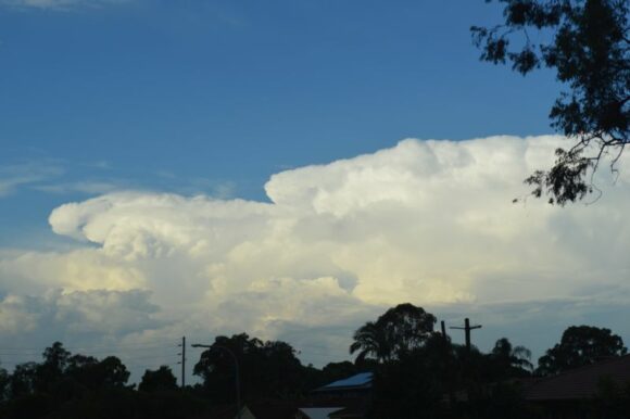
As shown in the images attached, a very isolated thunderstorm cloud tower teased Western Sydney late Thursday afternoon following the second hottest day for the spring summer season 2023 / 2024. The isolated cumulonimbus cloud was high based and went quite high but produced very little in terms of rainfall.
I did see one cloud to ground lightning strike during my observations as the cell tracked north east away from Sydney.
The storm tracked northeast and gained intensity as it approached the Central Coast and Hunter Valley.

The isolated thunderstorm tower developed late afternoon following the second hottest day for the summer across Western Sydney which concluded the summer season.
Maximum daytime temperatures across most of Western Sydney reached 39C to 40C and in some locations, it was the second time this season that such temperatures have been reached. Maximum daytime temperatures included:
- Sydney Olympic Park - 40.2C.
- Penrith - 40C (Third time reached this season 40C was reached)
- Richmond - 40C.
- Horsley Park - 39.6C.
- Holsworthy (Defense) - 39.4C
Similar high temperatures were recorded across inland New South Wales Wednesday and Thursday ahead of the cold change which concluded February 2024.


The other two photos shows the storm northeast of Sydney moving away and located across the Central Coast region at sunset. By this stage there were at least 3 cells but all appeared to be high based across that region.
