https://www.extremestorms.com.au/storm-chase-including-severe-storm-that-impacts-tirrannaville-locality-23-february-2024/
New South Wales and Sydney
The week ending Friday 23 February 2024 has been more active in terms of thunderstorm outbreaks across New South Wales than seen in previous weeks.
Some of the events have impacted Sydney breaking a storm drought and providing the first thunderstorms seen this year for the city.
Two of the more significant events of Saturday 17 February and Friday 23 February involved storm chases outside of Sydney with significant storm events being intercepted and documented across the Southern Highlands and Southern Tablelands. The individual events are covered in detail in separate posts and thus are not repeated here.
The events not covered as recent storm chases include:
1 - Commencing overnight and into the early hours of Friday morning 16 February, parts of Sydney’s eastern areas were drenched with rainfall totals reaching 50 to 65 mm causing local flash flooding.
This event was localised to Sydney City, the airport and lower North Shore. The highest rainfalls were:
- Observatory Hill 61.4 mm.
- Sydney airport 29.2 mm.
The event affected no other parts of Sydney.
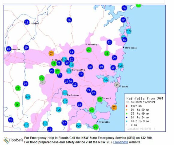
2 - During Monday 19 February, thunderstorms developed over much of Sydney. The event was unusual as the storms traveled north west from the south east. Thunderstorms traveling from such a direction are rare but not unheard of.

The storms featured heavy rainfall and a significant amount of lightning. In particular, it appears that a building opposite where I work was struck by lightning given that a sizeable thunderclap was heard and afterwards, fire fighters were seen attending to the building.
Heaviest rainfall included 57 mm at Kings Langley and Little Bay, 38 mm at Forestville and 33 mm at Blacktown. Large areas of Sydney received between 20 and 30 mm from the event.
It is suggested that some 130,000 lightning flashes and strikes were recorded within the Sydney region during the event although most would have been within cloud flashes.


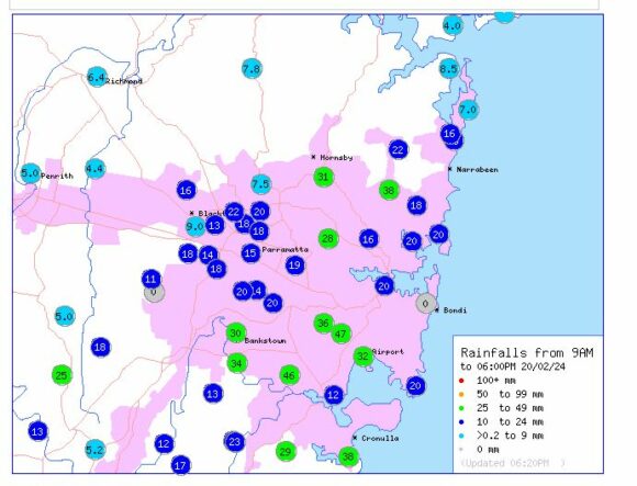
3 - During Tuesday 20 February, further heavy rainfall impacted large parts of Sydney where falls of between 20 and 50 mm were common especially across Sydney’s southern suburban areas. The heaviest total fell at Marrickville where 47 mm fell followed by 46 mm at Peakhurst Golf Club.
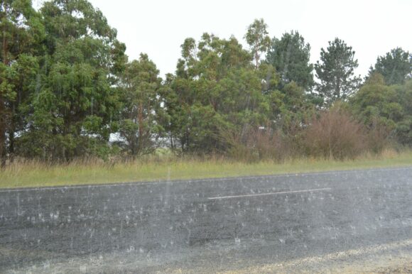
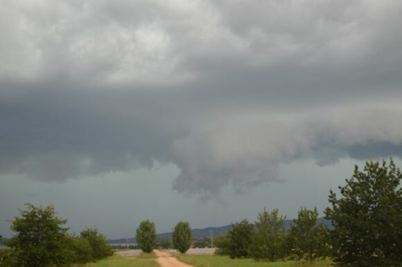
Photos to the post are from recent storm chases that I undertook during the same period and all show conditions that have been occurring over recent times.


Note: The feature image is part of a significant storm event near Mittagong (NSW) Saturday 17 February looking south east.
North west Western Australia
During this time, a tropical storm was threatening to form into a tropical cyclone off the north west coast of Western Australia.
The storm was named Tropical Cyclone Lincoln only because it may have briefly reached Category 1 under the Australian Tropical Cyclone Intensity Scale. The storm remained at tropical storm strength under the Saffir Simpson Scale whilst over the south west portion of the Gulf of Carpentaria.
The associated storm and low crossed the base of the Top End of the Northern Territory then crossed back out to sea traveling west. While some strengthening occurred out to sea, it appears the storm remained at tropical storm strength for the remainder of its lifespan with peak wind gusts of only 85 km/h and sustained winds of 55 km/h at the core.
During late Saturday, early Sunday, the tropical storm crossed the coast around Carnarvon (North west Western Australia) producing at least 78 mm of rainfall and no significant or damaging wind gusts.
