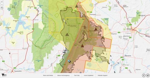
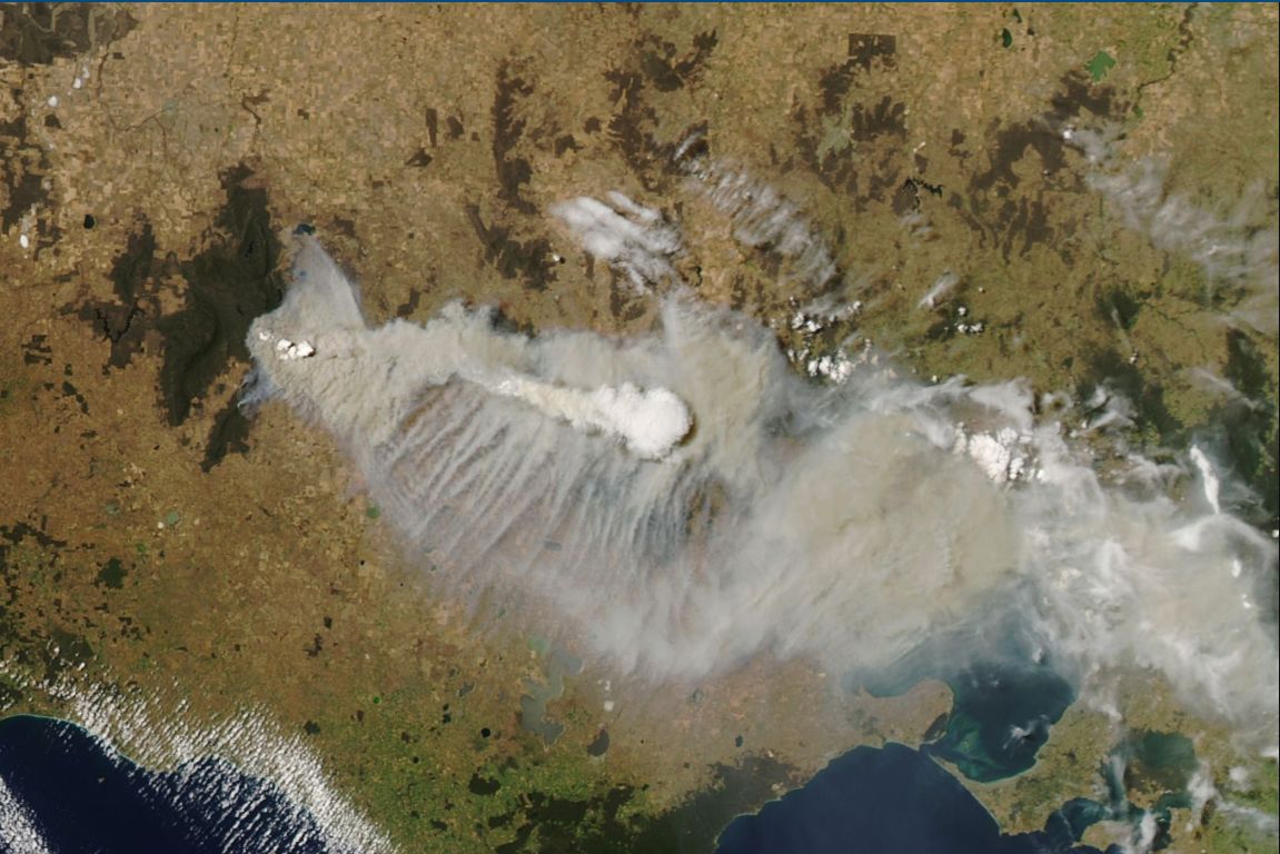
A bushfire burning within the Grampians region of southwest Victoria (West of Ararat) has produced a rare pyrocumulonimbus cloud. This has not been seen across southeast Australia since the disastrous 2019/2020 bushfire crises.
The MODIS (Moderate Resolution Imaging Spectroradiometer) on the NASA Aqua satellite dated December 20 clearly shows the thick plume of smoke resulting from the bushfire. The plume was traveling southeast to cover large parts of southern Victoria including the city of Melbourne.
The standout feature in this is the pyrocumulonimbus cloud which is clearly visible. It appears that the bushfire was started by a lightning strike on or around December 16. Pyrocumulonimbus clouds produced by a bushfire can also be dangerous as they can generate lightning which can ignite bushfires ahead of the main fire thus compounding the fire situation.
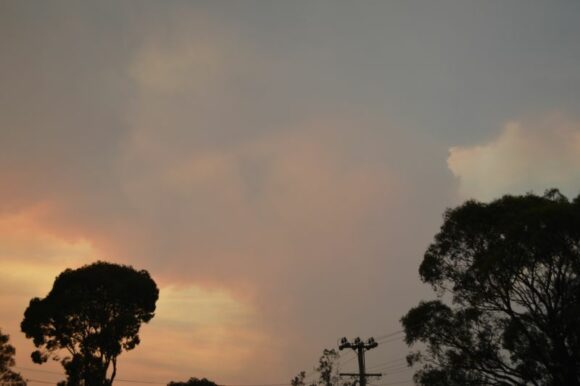
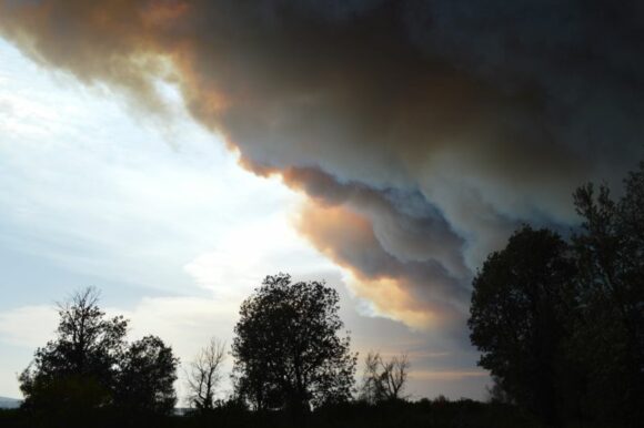
On new years eve of 2019/2020, I was in Batemans Bay with my wife (South Coast of New South Wales) and experienced this phenomenon for the very first time including being underneath one such cloud formation. While a lightning strike was not observed from the cloud being produced, a similar cloud to the south from a separate fire did in fact generate cloud to ground lightning which only magnified the bushfire situation.
The pyrocumulonimbus cloud that I experienced in Batemans Bay did not produce rain but there was constant fallout of embers with some of these being warm to hot. This too can ignite fires ahead of the main fire.
It is possible that the cloud formation as shown in the image by NASA is doing the same. The fire has already burnt through an area exceeding 74,000 hectares and is still not under control.

I attach my photos from Batemans Bay showing what it is like being underneath a pyrocumulonimbus Cloud. They take the form of a thunderstorm cloud or cumulonimbus cloud complete with an updraft tower (Image 1). Once a certain height is reached, the smoke column flattens out similar to a glaciated anvil of a thunderstorm. The one shown in Image 1 was not dropping rain but instead warm to hot embers. The fallout from this one occurred over Catalina and southern parts of Batemans Bay.


As shown in image 2, when one is directly underneath one such cloud or smoke plume, the situation is then serious. In this case on new years day, several hundred homes were burnt down as the fire front raced into parts of Batemans Bay.
The clouds are impressive when viewed at a safe distance but when close up, it is a different storey and one that heralds a serious bushfire danger.
