Continuing on from the previous statement, rainfall increased in intensity across Sydney during Saturday resulting in some moderate totals occurring.
As already identified, the heavier totals were again coastal with lighter totals further inland.
Across Sydney, the heaviest fall was 69 mm to 9 am at Little Bay (La Peruse area).
Generally, falls ranged from 26 to 69 mm along the coastal suburbs, 15 to 27 mm across much of Western Sydney (There was 21.8 mm in my rain gauge which is consistent with official nearby totals) and 19 to 35 mm across southwest Sydney.

Further south, heavier falls occurred including 36 to 70 mm across Wollongong with some higher totals at:
- Currawong - 84 mm.
- Point Perpendicular - 96 mm.
- Greenwell Point - 104 mm.
Around Moruya 24 km south of Batemans Bay 100 mm plus totals occurred including:
- Bodalla - 112 mm.
- Moruya Head - 116 mm.
- Moruya (Town) - 118.6 mm.
The isolated 100 mm plus totals are limited to small areas around Moruya just to the south of Batemans Bay. This was enough to result in minor flooding across some low lying areas during the event.

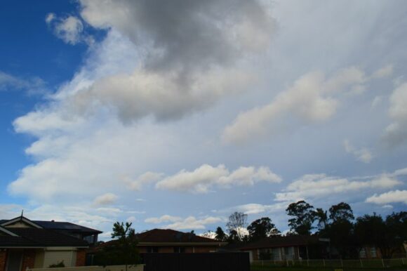
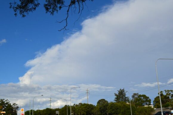
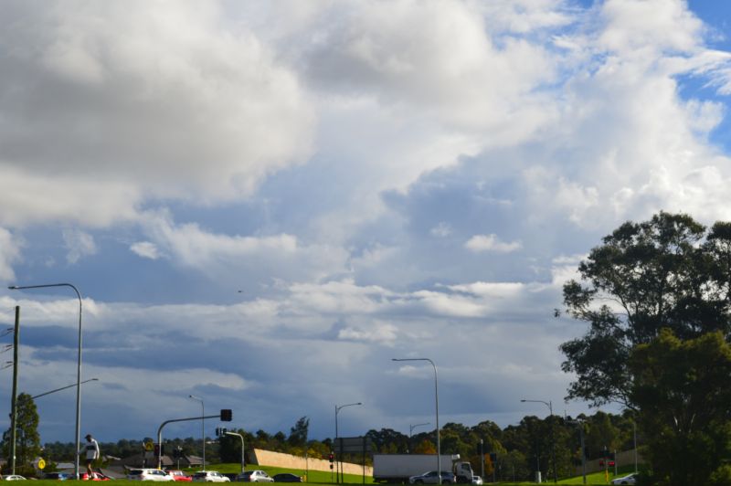
The photos attached taken Sunday afternoon at Doonside shows low topped cumulonimbus clouds and thick cloud heralding the approach of another burst of rain / shower activity, this time moving north along the coast. This event continues the burst of wet weather currently being experienced along the New South Wales coast.
