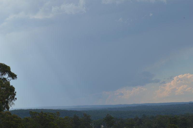
Saturday 8 November was a day that I could not chase due to prior family arrangements. After 3.30 pm and upon farewelling my parents, I made my way to the foot of the Blue Mountains (Bents Basin area) where for a period of 90 minutes, I was observing thunderstorms struggling to form further to the west.
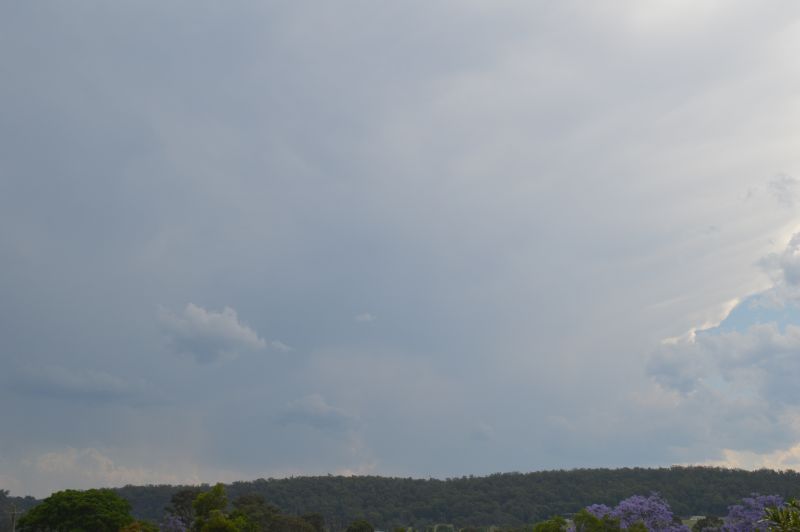
Cumulonimbus cloud towers did form but due to the low due points and the fact that temperatures across Western Sydney were well in excess of 30C (Between 34C and 35C) and with a northwest wind blowing, the storm cells collapsed and fell apart.
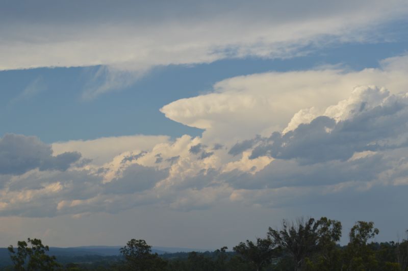
There was simply no moisture available to permit any cell to form over and into the Sydney basin and make its way to the coast.
Interestingly, at around 5.30 pm, a new isolated storm cell formed over the Hornsby area which tracked east then off the coast.
It was a day where simply, storms struggled to form over Sydney.
It is noted that isolated thunderstorms did occur over parts of the Southern Tablelands which tracked east off the coast between Wollongong and Batemans Bay. Further, isolated storms formed well north of Sydney being the Hunter Valley and northwest slopes where the conditions were more favourable to support thunderstorm development.
Perhaps the strongest storm of the day was the cell that impacted Gunnedah at around 3.30 pm in which wind gusts at the airport topped 126 km/h between 3.34 pm and 3.37 pm. This would have caused damage and brought down trees.
Further north at Narrabri, a separate thunderstorm brought wing gusts to 111 km/h between 1.41 pm and 1.45 pm but only 4.6 mm of rainfall.
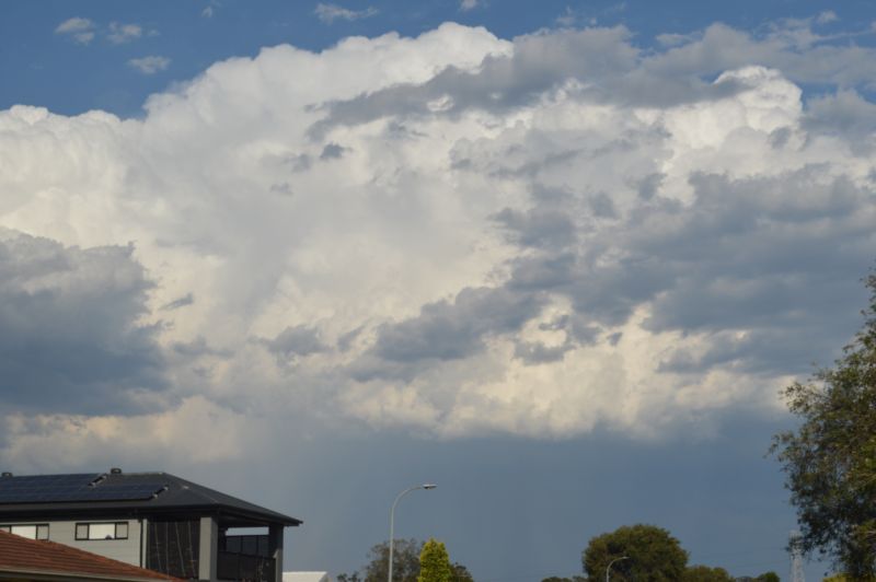
The images attached to the post are taken Saturday afternoon near Bents Basin and later Doonside. Given the hot dry and windy weather (NW winds prevailing), no storm impacted the Western Sydney region.