New Years Day Wednesday 1 January 2025 was spent undertaking a storm chase from Sydney all the way south to a rural locality north of Araluen. The locality is generally west northwest of Batemans Bay but within the escarpment and upper hills of the coastal ranges of New South Wales inland from the coast.
Weather models were consistent and showing the development of showers and thunderstorms, at least within the coastal hills and ranges. Such storms were expected to be assisted by the southeast wind change moving north along the coast.
The storm chase route taken by Jimmy and myself is highlighted within the attached plot prepared using Google Earth Experimental. The distance traveled was 651 km and included the rural localities of Nerriga, Braidwood and Reidsdale.
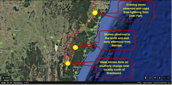
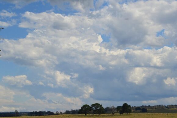
This proved to be a difficult and challenging storm chase day as the expected storm events did not eventuate. Weak thunderstorms were observed north and east of Nerriga and again south of Reidsdale on the south easterly wind change. Overall, this was a disappointing chase.
Storms struggled due to dry air and where any cumulonimbus cloud tower did form, the cell was short lived and collapsed. Photos were taken where possible of the strongest cells.
Interestingly, after sunset, conditions improved. As we were driving back from Goulburn along the Hume Freeway, a stronger thunderstorm cell developed within a rural area near Hilltop and south of Appin.

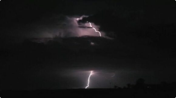
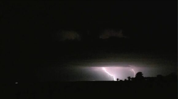
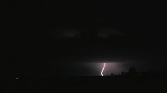
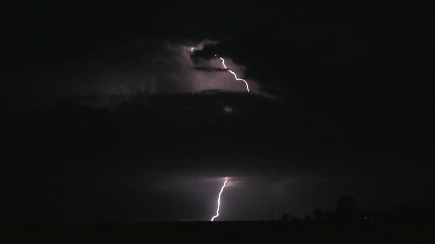
Near Oran Park, we found a suitable site to photograph and film cloud to ground lightning strikes from the storm cells that formed late evening. The cells went out to sea over Wollongong. We salvaged something from our storm chase by spending some time documenting the lightning strikes from such storms.
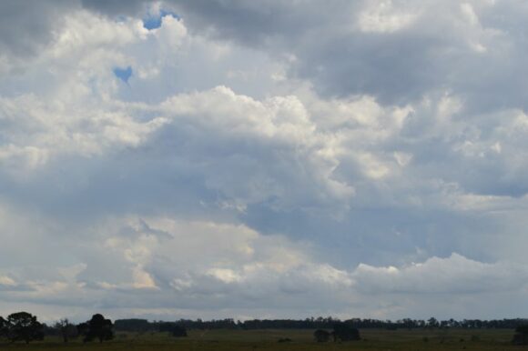
The images attached highlight the storms that formed. The nighttime lightning provided a more enjoyable spectacle especially given that one positive lightning strike emanating from the top part of the cloud tower to the ground was captured by both of us.
