During Monday and Tuesday 16 and 17 December, a burst of early summer heat passed across southern Australia and for the first time this summer season, maximum daytime temperatures soared past 40C for several localities and regions.
For areas located well inland, it could be stated that heatwave conditions prevailed at places such as:
- Hay (Southwest New South Wales) - Where there were 3 days in a row where maximum temperatures soared past 38C including 45.4C on the 16 December.
- Tibooburra (Northwest New South Wales) - where there were 5 days in a row where maximum daytime temperatures soared past 38C including 44.7C on 16 December and a minimum temperature of 31.5C recorded on the morning of December 17.
- Wilcannia (Western New South Wales) - Where there were 4 days in a row where maximum daytime temperatures soared to above 39C including 44.1C on the 15 December and 45.6C on the 16 December.
On Monday 16 December, the heat reached much of Victoria and much of inland New South Wales including areas not regarded as being within the outback regions. This includes but not limited to:
- Walpeup - 46.2C.
- Mildura - 45C.
- Swan Hill - 44.7C.
- Melbourne - 40.4C.
- Deniliquin (New South Wales) - 42.9C.
- Yarrawonga - 41.1C.
Western Sydney
Much of Western Sydney up until the close of Tuesday 17 December had experienced at least 6 days in a row where maximum daytime temperatures had reached 30C or higher with peaks occurring on Friday afternoon 13 December and again on Tuesday afternoon 17 December.
On Tuesday afternoon, the strongest burst of heat reached into Western Sydney coming ahead of a southerly change which turned out to be a southerly buster. Maximum daytime temperatures across Western Sydney reached at least 39C to 41C across many western suburbs especially west of Blacktown. This includes
- Richmond - 41.4C.
- Penrith - 41.3C.
- Mangrove Mountain (North of Sydney) - 40.1C
- Horsley Park - 40C.
While such high temperatures were experienced across Western Sydney, the city and coastal suburbs were much cooler including just 25.1C on Sydney Harbour, 32.1C at Observatory Hill (Briefly) and 34.4C at Terrey Hills. During Tuesday, the maximum temperature range across Sydney traveling east to west was as high as 16C.
During the afternoon, a strong southerly change moved north along the south coast of New South Wales, spreading across Sydney after 5 pm. The change caused a dramatic temperature drop and provided southerly wind gusts of 40 to 60 km/h.


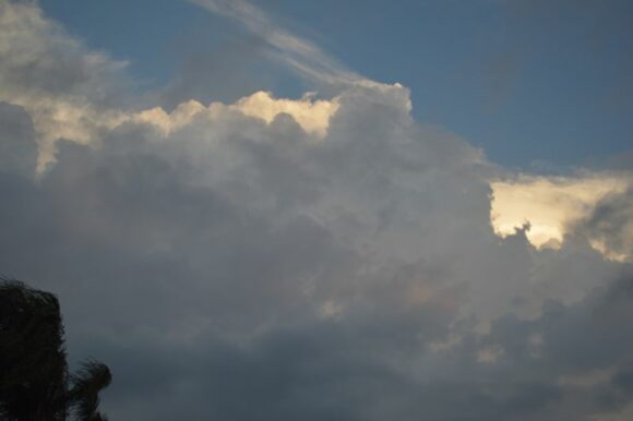
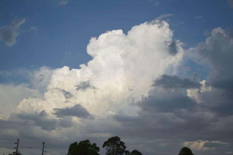
With this change and following the change, isolated cumulonimbus cloud towers developed which provided brief but heavy showers where they developed. By evening, the thunderstorm activity had moved out to sea with the low stratus cloud obscuring what was occurring above.

The photos attached show case the isolated thunderstorm cloud towers. Cloud bases were high but it was clear that the southerly change had aided their development.
This concluded an interesting day weather wise and the burst of heat affecting at least the western Sydney region.
