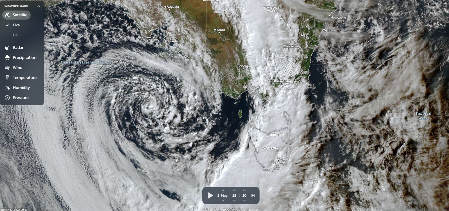
A strong cold front crossing through southeast Australia during Sunday and Monday delivered much needed rainfall across regions that had experienced another dry spell.
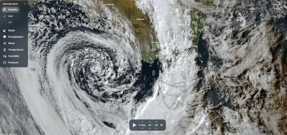
The system followed a noticeable dry and warm April with some useful falls being recorded.
The system brough falls of between 15 and 25 mm across northern Victoria.
As the system crossed through northeast Victoria and into southern and Central New South Wales, heavier totals occurred. This included.
- Mt Hotham (Northeast Victoria) 81.8 mm – Given location, orographic rainfall featured.
- Mt Bulla and Rutherglen 32 mm.
- Wangaratta 30.4 mm.
- Albury Airport 29.2 mm.
Some of this rainfall penetrated further north and east and deeper into New South Wales during the 4 May with useful totals as follows:
- Forbes 48 mm.
- Grenfell 45.6 mm.
- Burrinjuck Dam (Near Yass) 38.2 mm.
- Young 36.4 mm.
- Cootamundra 27.2 mm.
- Griffith 24.4 mm.
- Nyngan 24 mm.
- Parks 22.8 mm.
- Cobar 21.6 mm.
The rainfall was welcome after a dry April that featured strong high pressure cells that suppressed rainfall for days and weeks across much of the southeast.
This may be enough to allow for the sowing of winter crops across parts of the Murray Darling Basin but the success of this will depend upon follow up rainfall which at the present time is unlikely in the foreseeable future.