The area around Lorne south west of Melbourne is not usually associated with extreme thunderstorm events given location but during Thursday afternoon, a slow moving thunderstorm impacted the Otway region close to town and a significant flash flood ensured.
It appears that the storm was slow moving and was focused on the Wye River to the southwest of Lorne. Here a flash flood occurred and at least 10 to 20 vehicles were swept away. Fortunately, there were no fatalities from the event.
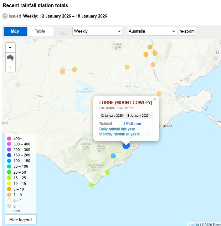
A weather station near Mt Cowley recorded 175.4 mm of rain the 6 hours to 3 pm (Total for the week to Sunday January 18 here is 191 mm).
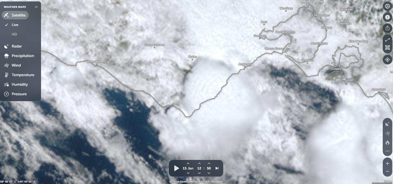
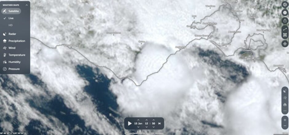
The storm moved in from Bass Strait and dropped its rain within a very small area between Lorne and Sugarloaf then decayed. The event was limited to the Wye River, Kennett River and Cumberland Creek and the Otway Ranges close to the coast.
I have attached an image of the thunderstorm crossing the coast using NASA Zoom Earth within the affected area.