Monday 3 November 2025 will go down as a rather unusual day weatherwise. In this regard:
- At daybreak, significant morning fog covered large parts of Western Sydney with the image as shown taken at Doonside after 6 am.
- After 8am, the fog breaks down rapidly resulting in a day when maximum temperatures soared to above 34C for much of Western Sydney including 34.9C at Penrith and 34.2C at Horsley Park.
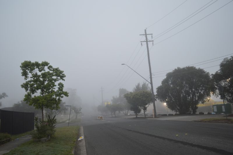
It is rare but not unheard of to have morning fog to occur on a 30C but such events can and do happen.
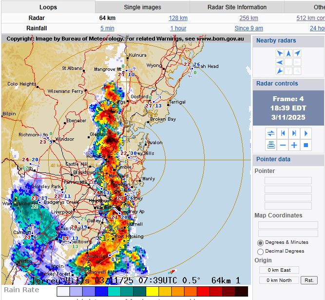
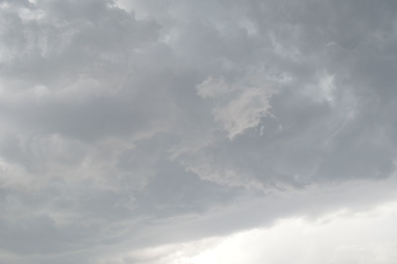
To conclude the day and following the heat, a thunderstorm passed over parts of Western Sydney late afternoon / early evening. This concluded a day when three separate weather were condensed into a 13 hour period.
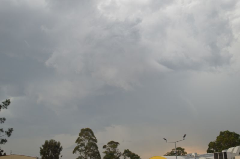
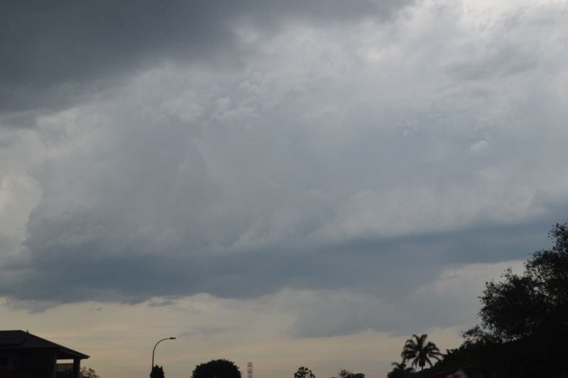
The thunderstorm was high based but as it crossed over Sydney, it began to tap into moisture resulting in rapid development of new cloud towers and interesting cloud formations with lower bases.
It is noted that the storm moving in from the west weakened but the system jumped further east and a new but narrow line of storms formed which then tracked east and off the coast at dusk.
This storm produced some significant but localised weather events as follows:
- Small hail to at least 1 to 2 cm in size falling at Berowra.
- 17 mm of rain in 8 minutes at Holsworthy (At 2 mm per minute).
- A peak wind gust of 72 km/h at Holsworthy.
- 18 mm of rain and a peak wind gust to 72 km/h at the airport.
There is evidence to suggest that the storm briefly became severe at peak intensity.
This event concluded the day.
The photos attached including the feature shows the storm near Doonside and to the east thereafter.