The North Atlantic hurricane season has been relatively quiet for 2025 but one storm changed that over recent days.
The development of Hurricane Erin over the Atlantic Ocean is a reminder that violent tropical storms are still possible, even during a quiet period.
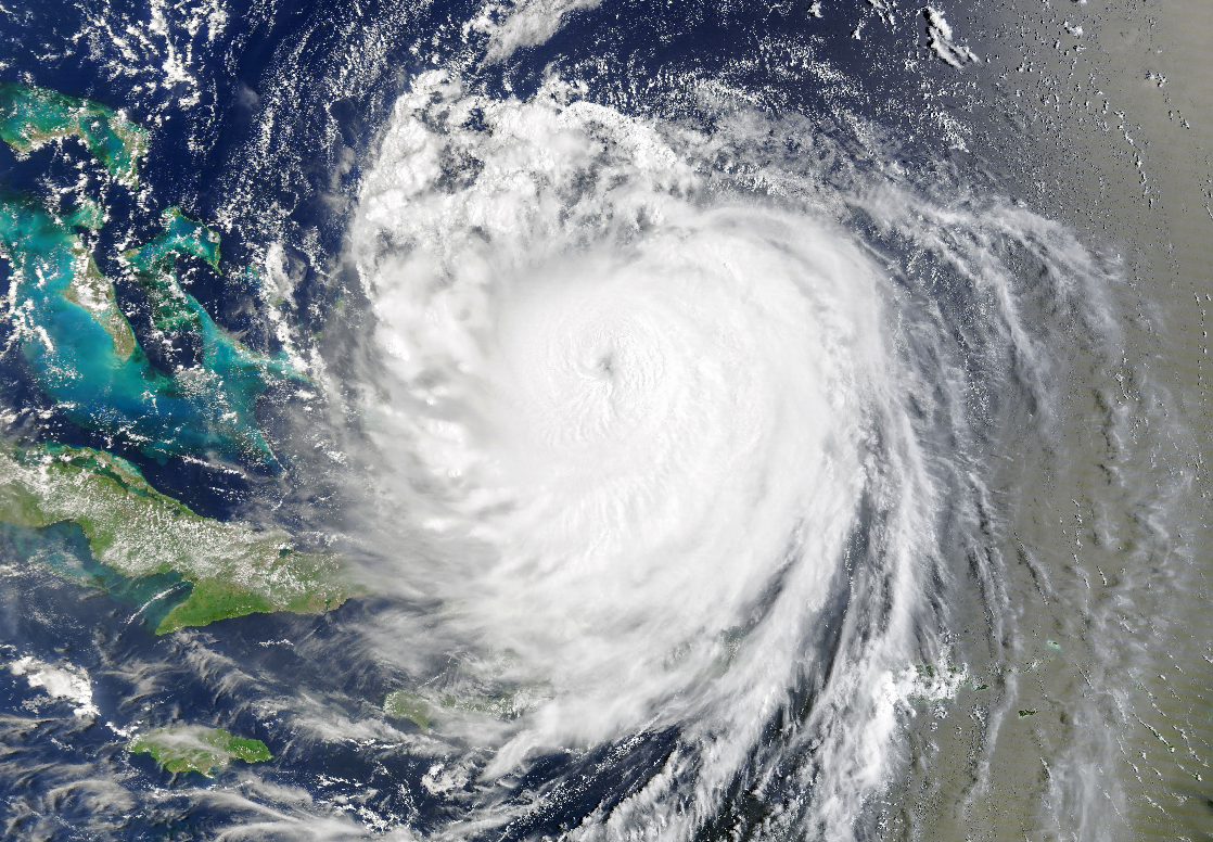
Hurricane Erin peaked at Category 5 on the Saffir Simpson Scale as it approached eastern United States but fortunately it curved northwards and remained well out to sea, never making land fall. Had it made landfall, this could have been a catastrophe at such strength.
At peak intensity, wind speeds at the core were estimated at least 260 km/h. It is believed to be the 43rd such storm to reach Category 5 since official records began.
The outer rain bands did impact Puerto Rico and strong winds affected some communities as it made a close approach to land. Fortunately, damage was limited and with the storm turning away from land, the strongest part of the storm remained far enough out to sea.
The stormed moved northwards over cooler causing a weakening to occur.
The feature image above taken by NASA on the MODIS (Moderate Resolution Imaging Spectroradiometer) sensor on NASA’s TERRA satellite shows a small eye as the storm passes north of the Dominican Republic. This is at a time when the storm was at peak intensity.
