Following on from the recent post concerning the flooding rains in and around the north Queensland city of Cairns, the same weather event is now impacting the city of Townsville.
Townsville is the largest city in northern Australia with a population of approximately 202,000 residents. The city lies on the Ross River with the Ross River Dam serving as the city’s primary water supply.
The city is also prone to flooding given the low lying nature of the regions geography.
The city has an average annual rainfall varying from 1,130 mm per year reducing to only 895 mm at Woodstock which is located within the south western suburbs of the city.
Since 9 am Friday morning, a strong monsoon and low pressure area has dropped considerable rainfall across the whole of Townsville city and flooding has been a feature.
It is rare to see daily rainfall totals of almost 400 mm occurring but this weather system has produced significant rainfall and moderate to major flooding has resulted.
Prior to this, the same weather system impacted Cairns and surrounds and up until 9 am Thursday morning, there were weather stations to the south of Cairns city that had recorded more than 900 mm of rainfall in the week to Thursday 30 January 2025. This included:
- Mt Sophia – 939 mm.
- Clyde Road Alert – 904 mm (This includes the 290 mm that fell to 9 am Thursday morning).
It should be noted that the weather station at Clyde Road Alert had recorded 1,115 mm of rainfall across 8 days to 9 am Thursday morning.
While such rainfall has been high over Cairns, the excessive totals eased off late in the week with the heavier falls passing to the south of the city. As such to 9 am Friday morning:
- Diwan – 184 mm.
- Rex Creek Intake TM – 172 mm.
- Bairds – 151 mm.
- Bowen Airport – 150 mm.
Were amongst the highest totals. Only light to moderate falls occurred over Cairns during Friday.
Friday – Townsville impacted
During Friday, flooding monsoon rains drenched the city with falls approaching 400 mm with higher totals to come over coming days. Moderate to major flooding has occurred as the deep monsoon low impacted the whole of the Townsville region.
Maximum rainfall for the city to 9 am Saturday morning includes
- North Ward Alert (North of Townsville City centre) – 389 mm.
- Deerogun Alert – 350 mm.
- Bushland Beach – 327 mm.
- Garbutt Alert – 314 mm.
- Picnic Bay Alert – 295 mm.
The official weather station at the airport is consistent with the totals recording 284 mm.

These are high totals when compared against the average annual rainfall for the city. The climate of Townsville could be described as “Tropical Savannah”. Most of the yearly rainfall falls between December and March and with a long dry season lasting between April and November. Given what has occurred and what is being forecast, this single event could test the city’s average annual yearly rainfall.
Controlled water releases are occurring at the Ross River Dam but at the same time, major downstream flooding has already occurred and expected to occur again as the event further unfolds.
Major flood warnings are issued for the local rivers and low lying areas and evacuations have occurred and continue.
Even at the time of writing, heavy rainfall has continued for the region between 9 am and 6 pm Saturday including:
- Trebone – 195 mm (Average of 21.6 mm per hour)
- Halifax – 190 mm (Average of 21 mm per hour).
- Townsville city – (Between 100 and 150 mm for the same period with heavier totals towards the CBD and the northern regions of the city).
This pales into insignificance as a fall of 274 mm has occurred at Wallaman Escarpment north of Townsville or west of Ingham for the same period. This works out at 30.4 mm per hour sustained over 9 hours.

It should be noted that the city of Mackay to the south was also inundated with heavy rainfall reaching 170 mm at Paget Alert and 184 mm at Bikers Creek Alert for the same 24 hours. This is not as heavy as that of Townsville but significant enough to warrant attention.
The event around Townville City is continuing. While the development of a tropical cyclone is not forecast, the event is still shaping as significant given the amount of rain that has already fallen and what is expected to fall over coming days.
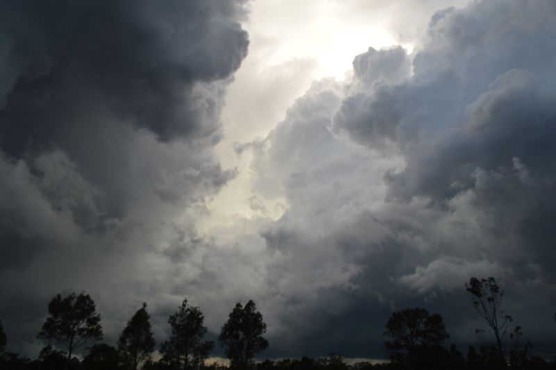
Attached above is the relevant rainfall plot for the affected area to 9 am Saturday. The satellite photo of Townsville is zoomed in (NASA Zoom Earth 2025). It would appear that embedded cumulonimbus clouds (thunderstorms) feature amongst the cloud mass as well as orographic activity against the ranges in addition to a train echo effect that is occurring. When combined with the area of low pressure and warm sea surface temperatures of 28 and 29C, such high rainfall is inevitable.

A clearing trend is not expected until at least late Monday or Tuesday.