Following a detailed review of the weather setups for the day, it was generally determined that a storm chase could be possible within a small area southwest of Sydney. As identified, it was determined that conditions were potentially favourable within an area between Campbelltown and Bowral but limited to the late afternoon.
As it was, a single and very isolated thunderstorm cell (Cumulonimbus cloud tower) did in fact develop but overall, it was short lived.
The chase was undertaken between 4 pm and 6 pm late Friday afternoon.
I was in regular contact with Jimmy throughout this event even to the point where I ran out of phone credit and had to go into Wilton Woolworths to recharge my phone.


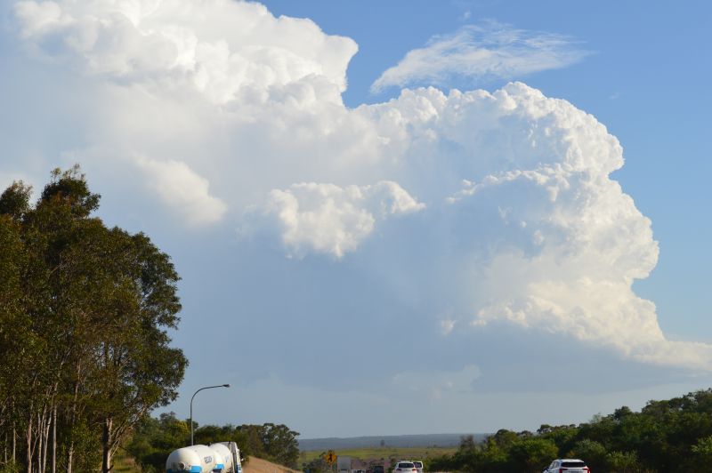
The photos seen here are taken from a rest stop looking southeast towards the storm. At this stage, the thunderstorm had the appearance of a low precipitation cell and was most robust. While the cloud tower was photogenic, it did not last long. The storm cell collapsed just as quickly as it formed.
Certainly by 6 pm, the cell had fully dissipated.
I waited an hour within the area to see if the advancing southerly change would generate further thunderstorm cells but this was not the case. I returned home thereafter.
I noted a more distant cumulonimbus cloud tower well to the north on the way home but I did not see any lightning within it during my travels.

This would signal that the transition to the summer storm season has commenced. Weather models suggest the potential for more unstable weather in coming days which will be reviewed as time gets closer.
The photos attached are taken using my Nikon DSLR 3200 camera.