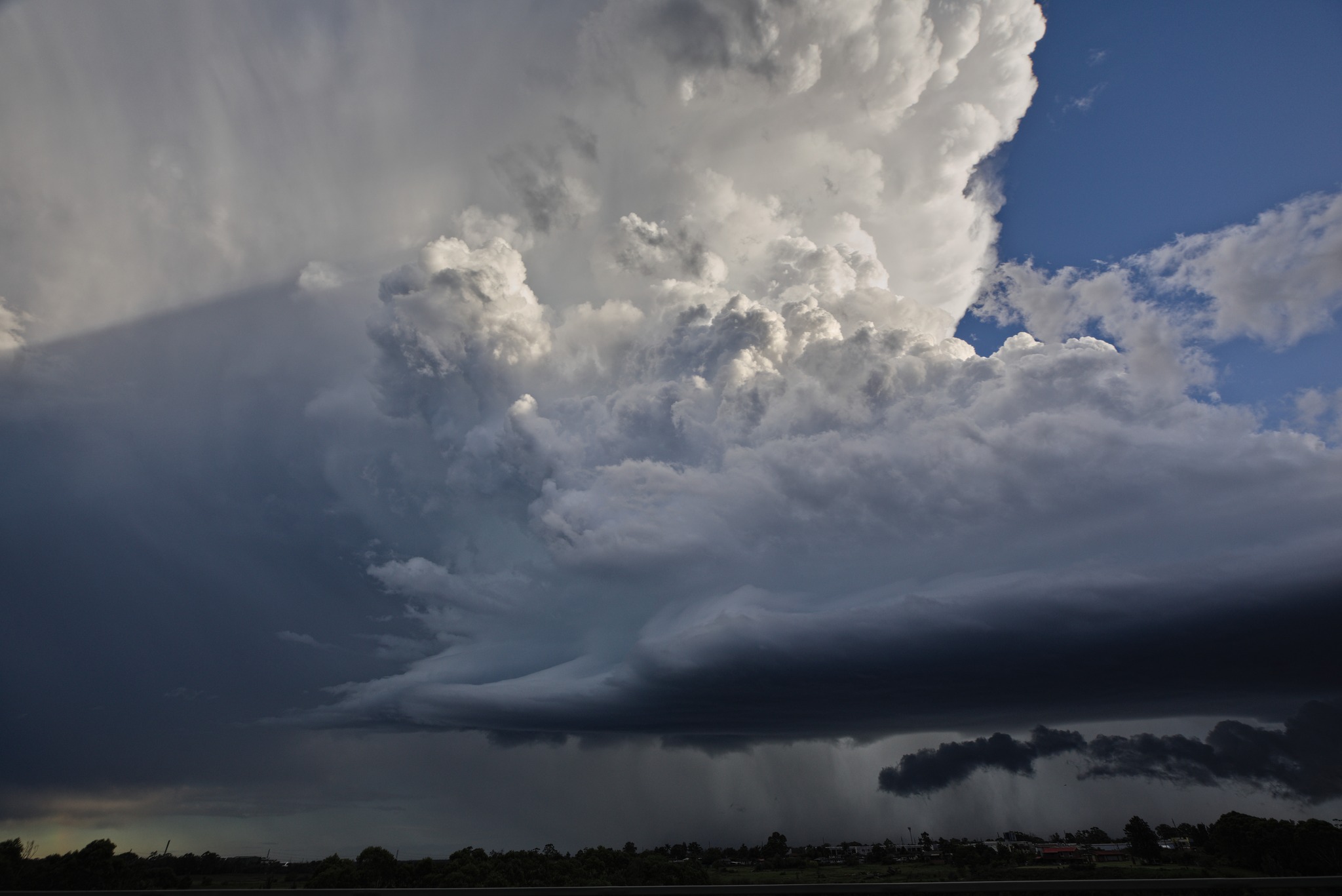
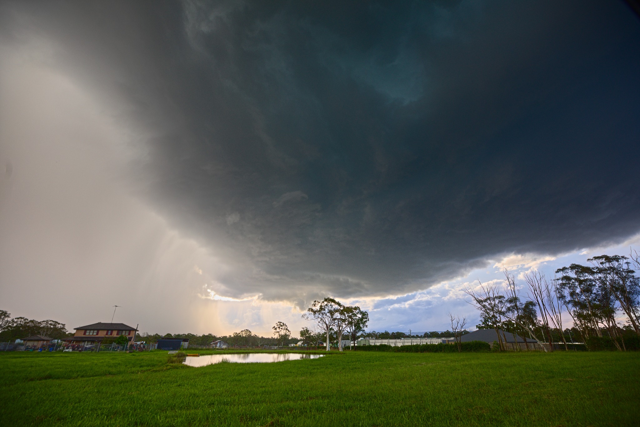
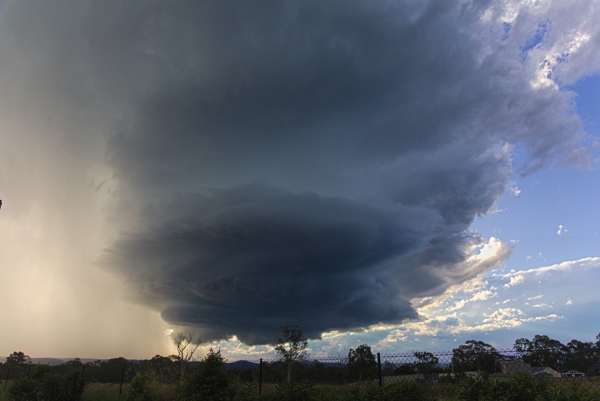
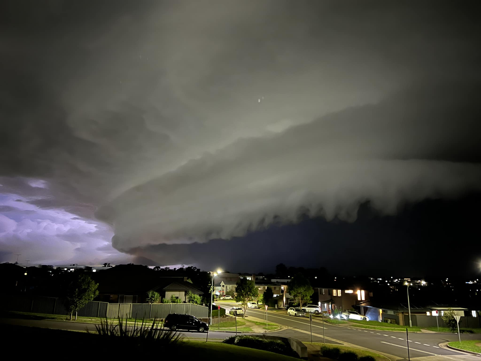
Severe thunderstorms were observed across various region of NSW South Coast Metropolitan Sydney and northern parts of the state. An upper trough brought cold air aloft that provided the environment for storms
to develop and intensify. Moisture and sufficient surface heating as well as strong wind shear were more than sufficient to produce rotating updrafts including several isolated supercells!Not for media use - permission snd licensing required
https://www.extremestorms.com.au/hailstorms-cranebrook-western-sydney-7th-april-2023/



Source

Awesome set of images Jimmy! Well done!
Awesome!
Awesome shots Jimmy
Awesome. Some images are similar to mine.
Nice shots Jimmy!
I attach the high resolution radar image of the NW Sydney storm the focus of Jimmy photos. As shown, the storm is small, compact with a small hail core. The hail fell within a narrow band. It was certainly a storm of interest given its structure, shape and movement.
The image.
Very tasty! 🤤