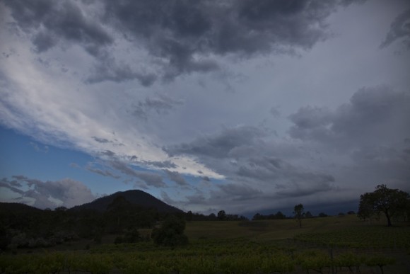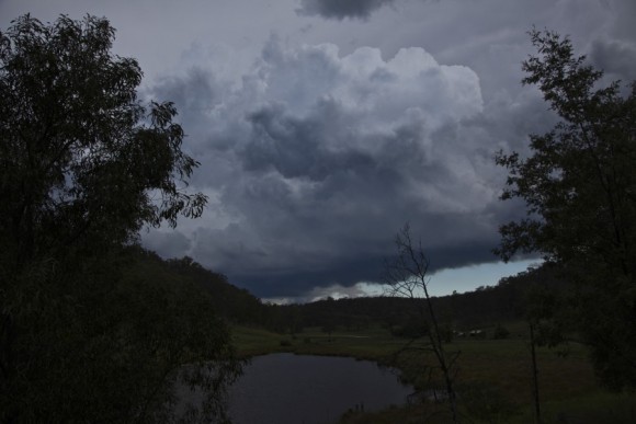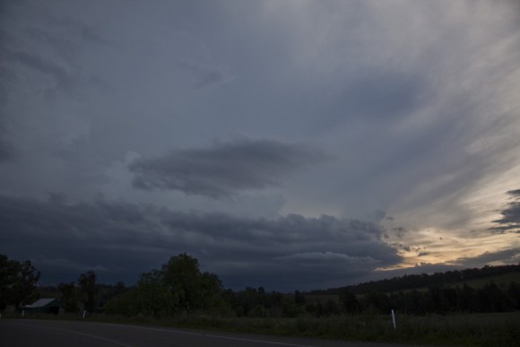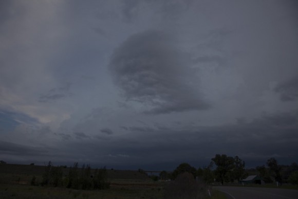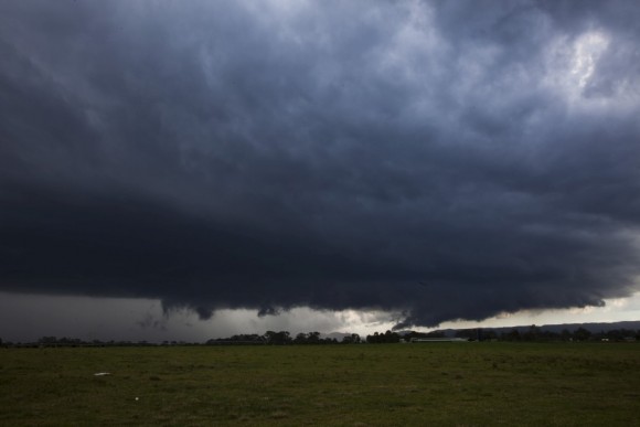
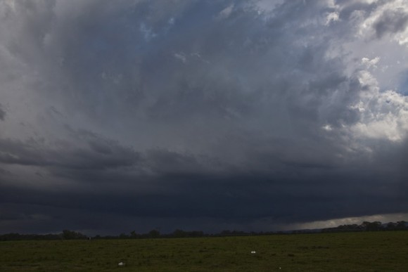
 A surprise storm developed in Western Sydney as humid air remained after some active storm days. Models totally missed the event but upon closer examination CAPE values from soundings seem to indicate the potential of storms along the boundary near the escarpment.
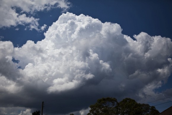
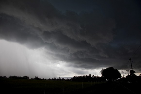 Cumulus fields developed and soon a shower developed near Appin. A pattern of shower and weakening continued until a stronger cell approached Horsley Park. Preparing myself for intercept, I repositioned near Riverstone knowing full well cells would take off near Penrith.
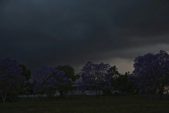
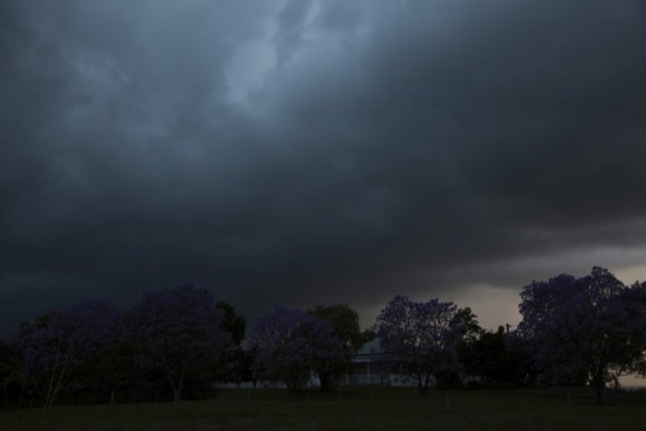
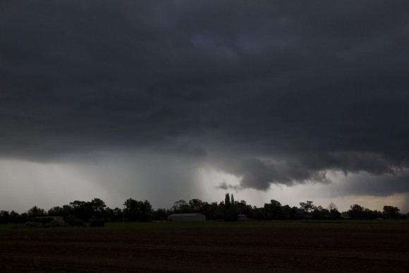 The cell developed west of Penrith and moved northeast intensifying. I
 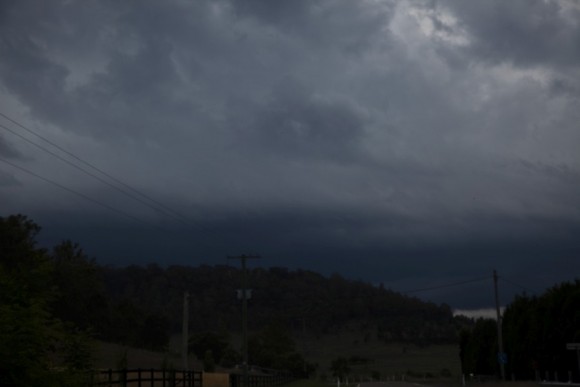 repositioned near Richmond for a time-lapse opportunity. Intense precipitation occurred as the storm propagated north as a multicell. After meeting Jeff Brislane and his son briefly, I made a dash for the Putty Road. The storm was further to the east but it was obvious the storm development would come out near Singleton. The storm continued on into the Barrington Tops region during the evening hours. Only minor reports of hail