
After reviewing weather models and possible storm setups for the day, I concluded that the northern Southern Tablelands had potential for storms throughout the afternoon.
A number of variables were good but at the same time, some variables were of concern. In particular:-
Capes and lifted indexes were good.
Winds were forecast to be a north east direction.
Good dew points towards the coast.
However, I was concerned with the upper level steering winds and a potential warming of the mid level of the atmosphere.
I was also aware that if I went too far inland, moisture levels would drop sharply because of hot to very hot dry conditions across the southern inland New South Wales and temperatures well into the 30s.
I gave the northern southern Tablelands a reasonable chance but elected not to proceed beyond Marulan. I drove to the service centre north of Marulan and waited. For a while, weak cells developed to the north whilst a separate cluster of clouds developed to the west and came towards me.
The clouds coalesced into a storm cell which produced some interesting cloud towers and shapes. For a while, I liked this cell because it was more isolated and separate from the cluster building further north. I noted anywhere further south, clouds struggled to develop which suggested to me a moisture problem.
This cell developed in an area that I could not get to so I had to observe it. I eventually drove to Canyonleigh to watch it and photograph it and that effectively concluded my chase. I had no options to intercept its base as it moved through rugged country to the west. It eventually weakened and fell apart.
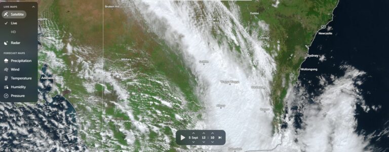
This cell went on to produce such a massive anvil that the whole environment across the region was ruined and heating was lost. New developing cloud towers and potential new storm cells nearby weakened and disappeared so by the end of the day the region was covered by a single layer of cirrus cloud.
At the same time, I was observing cloud towers to the south towards Goulburn but I let them go. They too struggled and fell apart.
I documented one storm overall but if the steering winds had only been better, the potential for a bigger afternoon could have been realized.

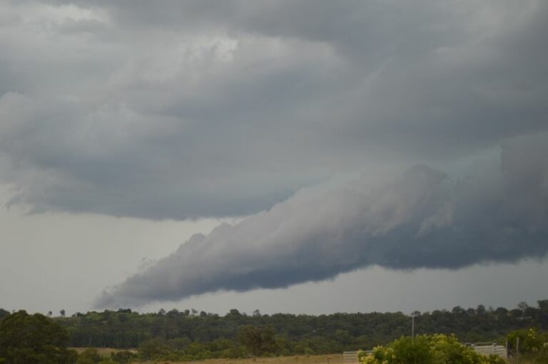
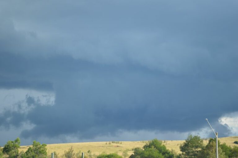
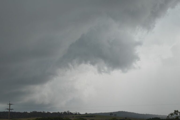
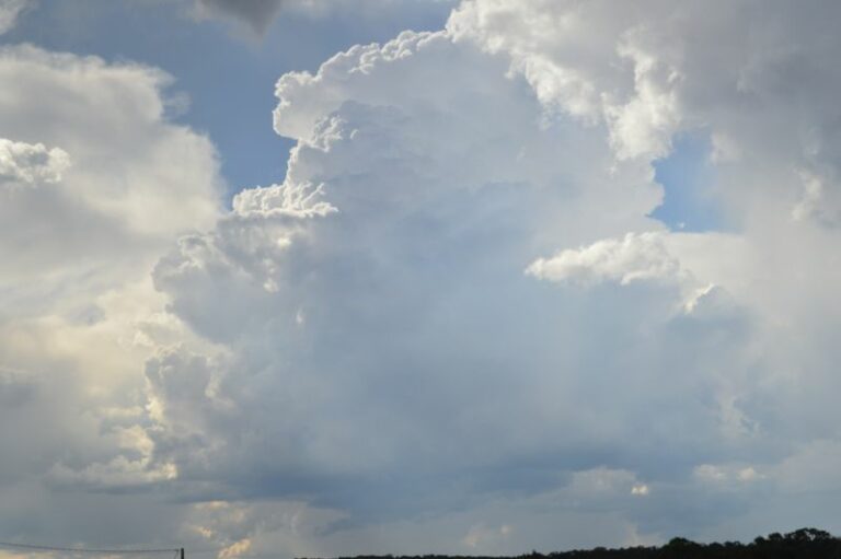
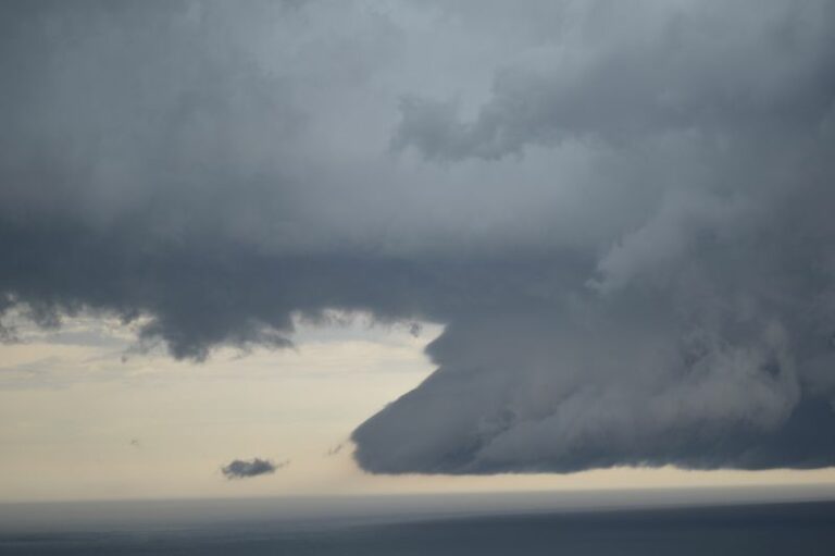
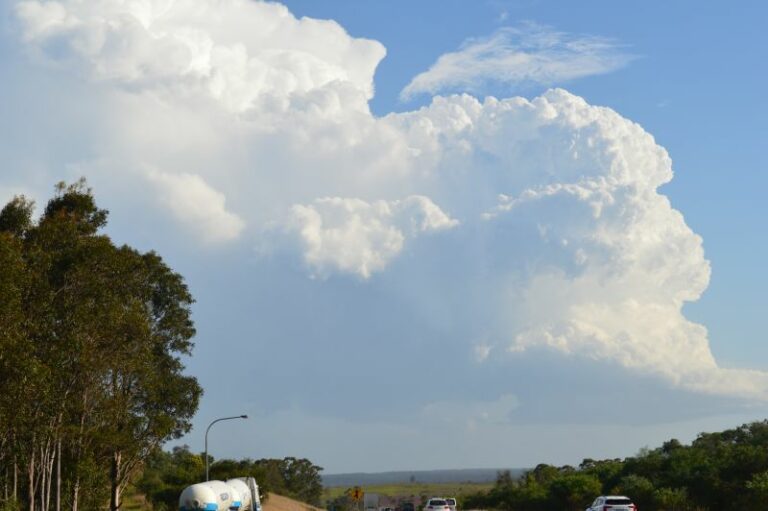
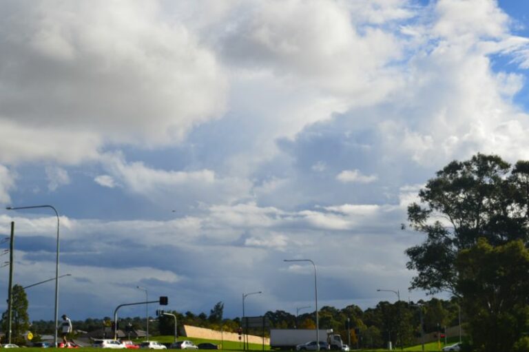
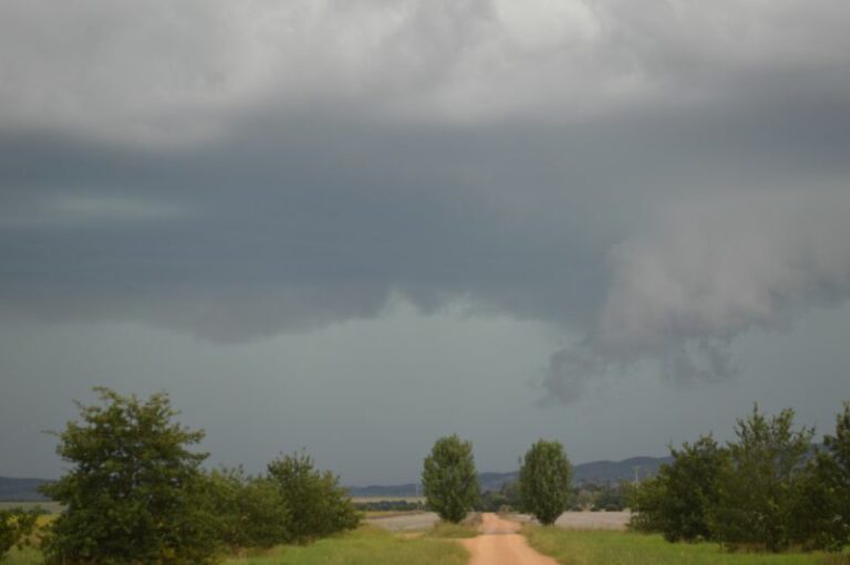
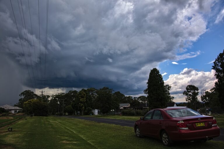



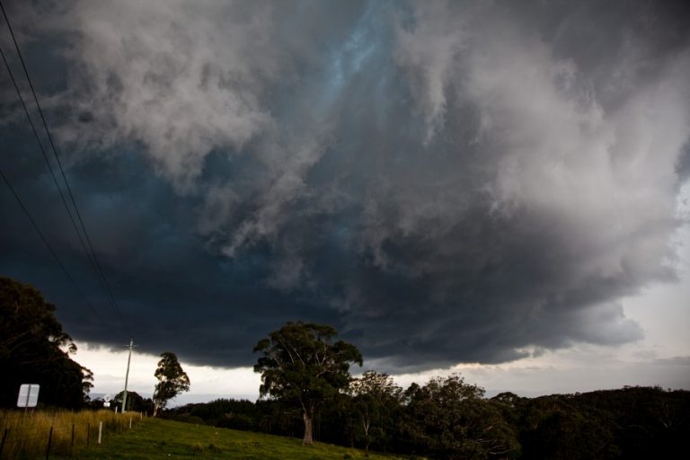
Some photos of the cloud towers approaching me. Some interesting shapes were produced. When I saw this, I considered that I had a chance so I stayed in the area. Unfortunately, the storm failed to build any closer to enable me to intercept the base which had by now developed in an area with no direct roads. This is directly west of me.
The southern most storm peaks in intensity but I can only watch it due to its location.
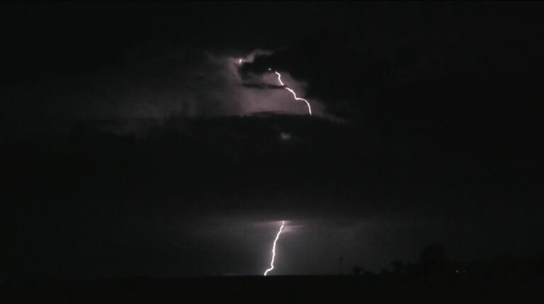
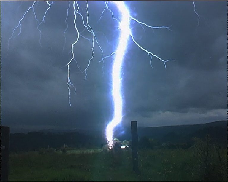
The cell propogated into an area to the north with no suitable access. I am at Canyonleigh west of Hume Freeway. I observed some lightning strikes but they were elusive. The storm had a short life span. It seems that the cell rained itself out. A nice updraft tower is observed but it did not last long. I began my drive home shortly after.
No other storms developed for the day.