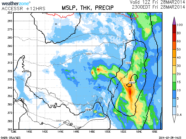
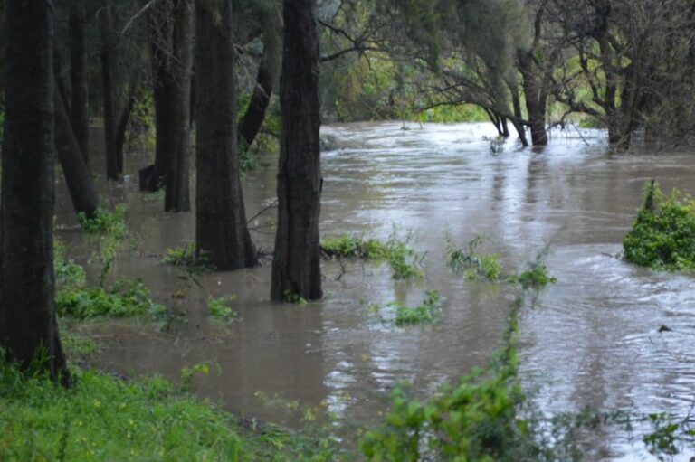
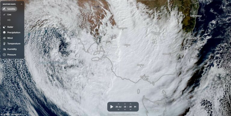
A cold pool is expected drift over the Newcastle to Central Coast region this evening resulting in further rainfall across the region. Falls of up to 50mm are expected from the development according to the latest model. The cold pool which has assisted in producing some heavy falls of rain across many parts of NSW and also Queensland will eject into the Tasman about midnight with rain easing and clearing off the coast. Localised flooding could not be ruled out given the saturated falls from several days of rainfall earlier this week


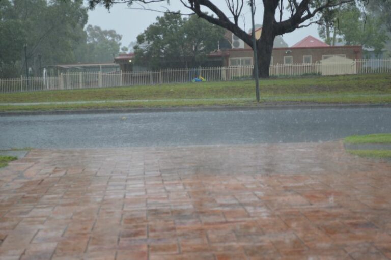
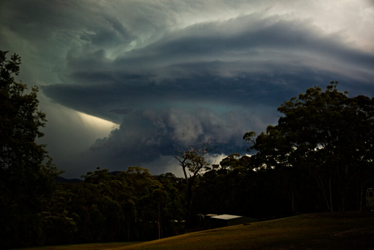

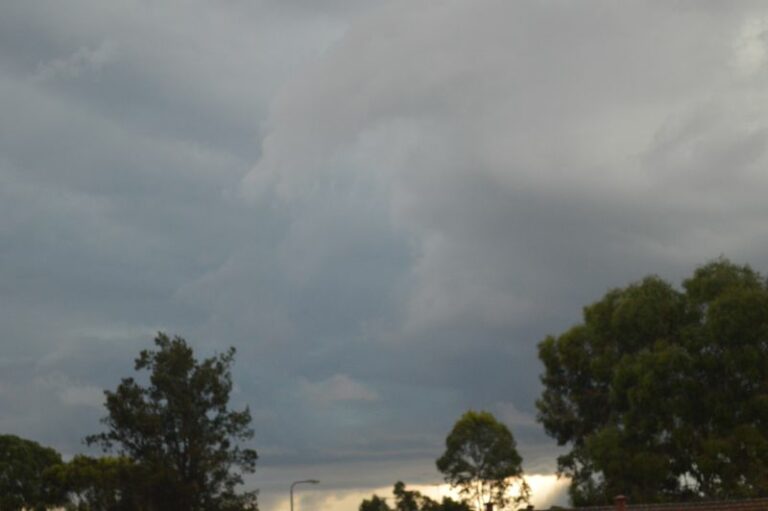



The rain event has surprisingly delivered the rainfalls as expected mainly within the Hunter Valley and Newcastle areas.
The highest falls are 37 mm at Kulnura and 35 mm at Merriwa (Hunter Valley) and 35 mm at Nobbys Head (Newcastle). A large swathe of the Hunter Valley received 10 to 24 mm including 20 mm to 35 mm across Newcastle City and 26 mm at Maitland.
Similar totals occurred across the Central Coast.
For Sydney – A line north of the Harbour including Blacktown towards Penrith received 10 to 18 mm including 13 mm at Hornsby and Kings Langley but south of this line, rainfalls taper away with Nil to 6 mm common. There was little rain further south.
Some decent falls!