
 The second low that followed in the wake of Sandra has finally formed into a weak tropical cyclone and named Tim. According to the Bureau of Meteorology notes, it is expected to weaken back to a tropical low.
Although conditions are not ideal for intensification, it will obviously be monitored over the coming days.
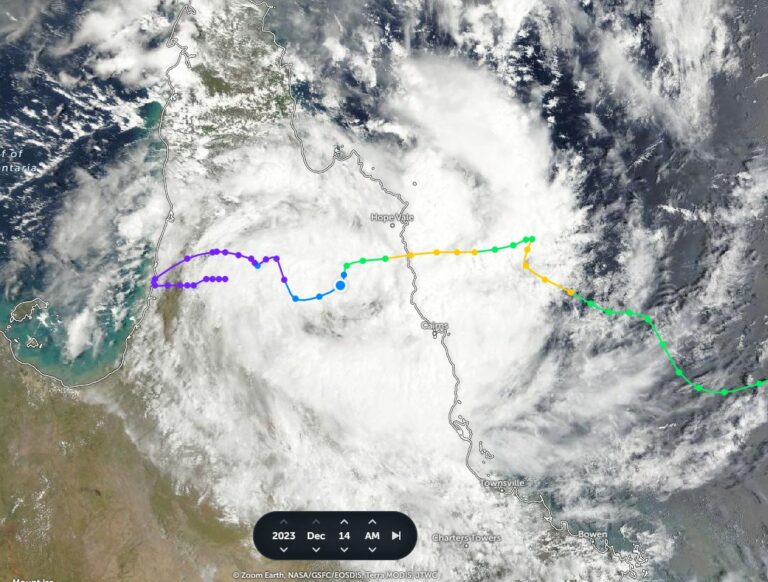


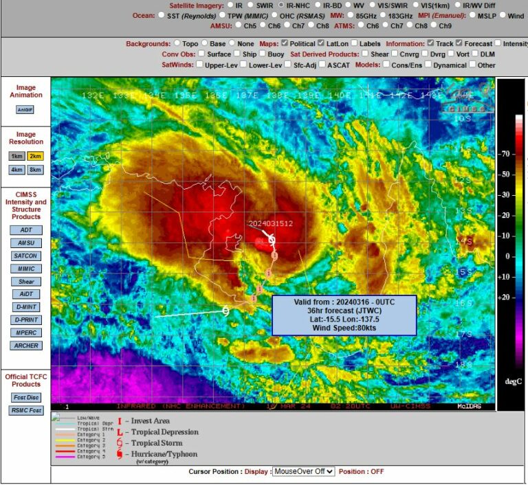


The latest tropical cyclone track map for Tropical Cyclone Tim.
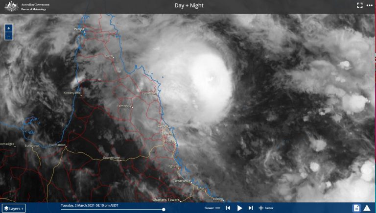
Latest satellite image shows Tropical Cyclone Tim in the Coral Sea off the Queensland coast.
Ex-tropical Cyclone Tim impacting the central Queensland coast:
QLD Severe Weather Warning: Damaging Winds
Source: Bureau of Meteorology
For people in parts of the
Central Coast and Whitsundays and
Capricornia Forecast Districts.
Issued at 2:44 am Tuesday, 19 March 2013.
Synoptic Situation: At 10pm EST Monday, Ex-Tropical Cyclone Tim was located approximately 350 kilometres northeast of Mackay and moving slowly westwards. A high over southeast Australia is extending a strong ridge along the southern and central coasts of Queensland. The combination of these two systems is leading to strong to gale force southeasterly winds about the exposed coast and islands between Bowen and Yeppoon.
Damaging winds with peak gusts of around 90 km/h are expected to develop during Tuesday afternoon and evening. These conditions are expected to gradually ease during Wednesday morning.
Locations which may be affected include Mackay, Proserpine, Bowen, Yeppoon, Hamilton Island, Middle Percy Island and Sarina.
Gusts to 81 km/hr were observed at Middle Percy Island during the early hours of Tuesday m orning.
Gusts to 79 km/hr were observed at Hamilton Island during the early hours of Tuesday morning.