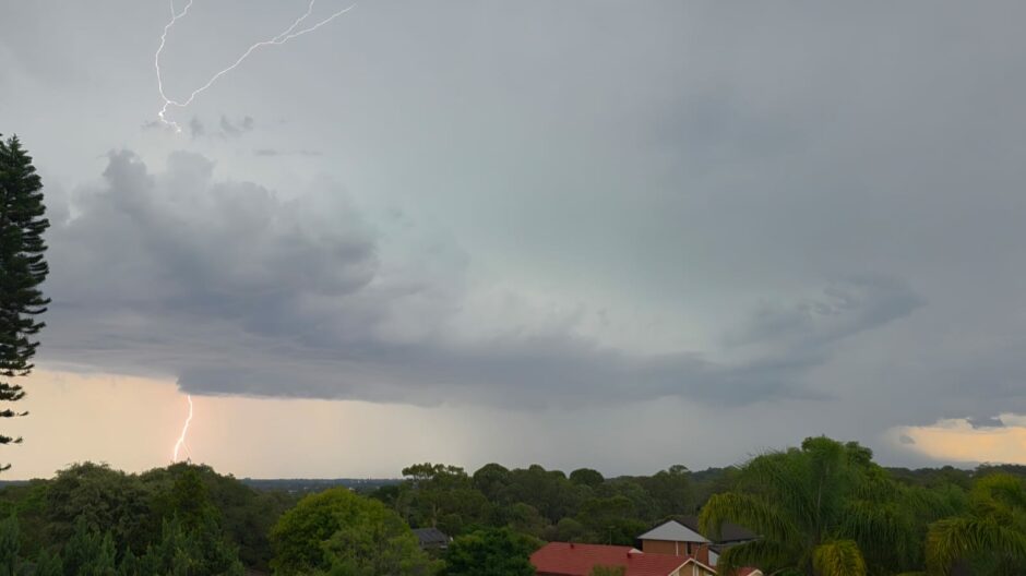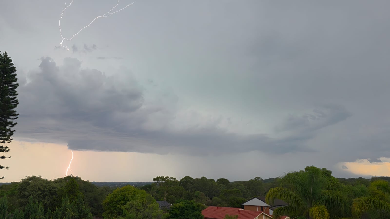
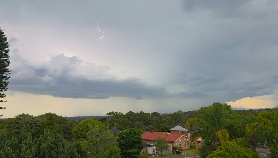
A thunderstorm crossed over large parts of Western Sydney during the afternoon of Sunday 4 January 2026. While I was not here and was in Indonesia, a friend of mine managed to obtain the images of the thunderstorm attached to the post as it approached Blacktown.
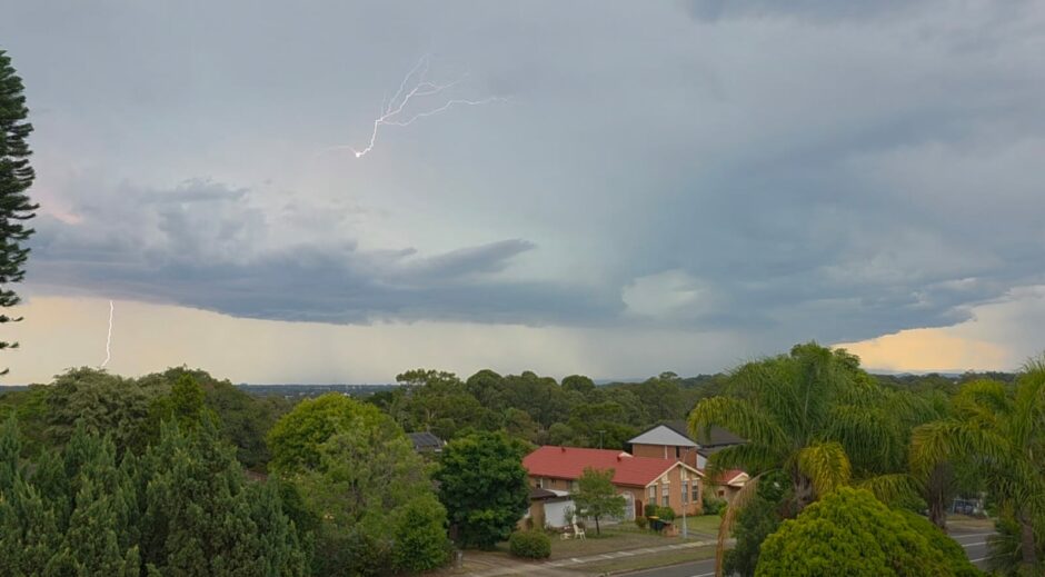
Credit is given to Lance Davis who took the images so at least a record of the event is available.
The storm followed a day when maximum temperatures soared to 34C to 36C across Western Sydney.
The Horsley Park Weather station received 5 mm of rain but heavier rain fell around Blacktown (At least within the range of 10 to 15 mm) being amongst the higher totals from the event.
Penrith received 11.2 mm of rain from the event. It is believed that hail was reported in some areas as the storm passed over.
The cell shown in the image was part of a much larger cluster of storms that crossed through the region during the afternoon.