Again, some remarkable maximum temperatures have occurred across Western New South Wales but equally impressive are the overnight minimums that are appearing at various weather inland weather stations.
Following another day where 48C maximum temperatures have occurred, it has now reached a point where there is minimal overnight cooling and thus the previous days heat contributes to the heat expected for the new day.
As such for Wednesday 28 January 2026:
- Albury - 44.2C (The edge of the heatwave contracted northwards to impact the Victorian state border and much of inland New South Wales - Areas further south were spared the worst of this. This is day 4 of the event for the region).
- Wagga Wagga - 44.5C (This is day 4 of the event and the second time this week where temperatures have soared to 43C or more).
- Bourke - 45.7C.
- Mt Hope - 45.8C.
- Ivanhoe - 47.9C.
White Cliffs - 47.9C (Late Wednesday at 10.30 pm, it was still 40.2C. At 12.30 am Thursday morning, it was still 40C dropping to 32.1C by 6.30 am).
Borrona Downs - 48.3C (Overnight minimum for Thursday morning was 31.4C. At 9.30 am Thursday morning, the temperature had already topped 39.5C).
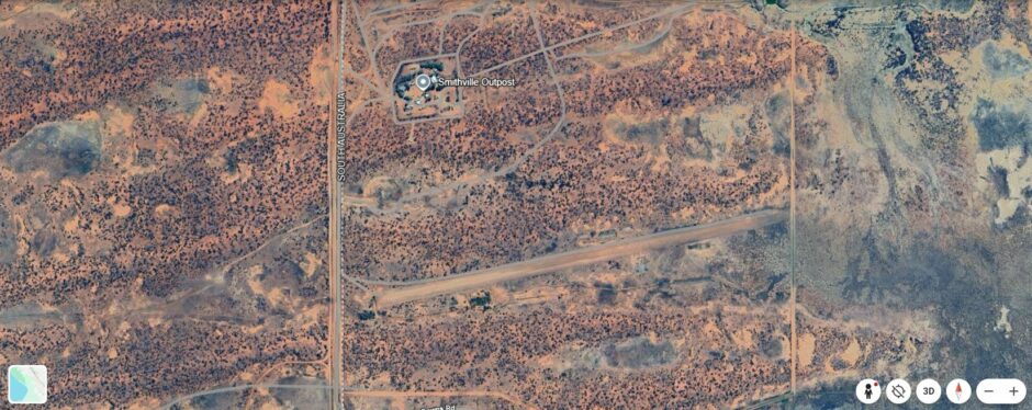
There appears to be a recording device at a locality called Smithville. It is located northwest of Packsaddle adjacent to the South Australian border. The official records for this remote station is incredible as follows:
Smithville AWS (Station Number 046142) - Latitude 30.07s Longitude 141.01w
- Maximum temperature for Wednesday - 47.8C.
- 11 pm Wednesday Temperature was - 42C (That is approaching midnight).
- 12.30 am - 40C.
- 2.30 am - 38C.
- Sunrise Thursday - 35C.
- Minimum 34.2C at 7.30 am.
- 9.30 am - 38.7C.
- 10 am - 39.8C rising to 40.2C by 10.10 am.
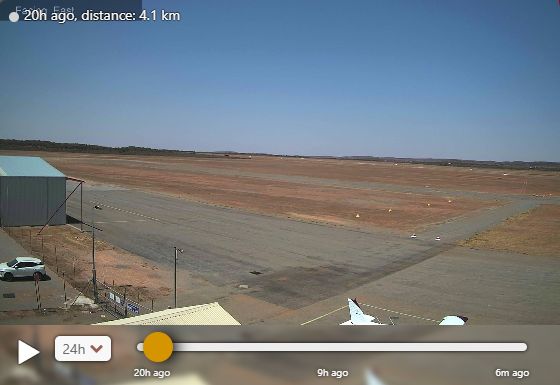
I have located this area on Google Earth which is a remote outpost off Border Downs Road and an airstrip. It appears that the weather station recording such temperatures is located within a small compound on the northern side of the outpost.
It is looking likely that this event will come to a close during Saturday and Sunday as a cool change sweeps through the state.
While the worst of the heat shifts slightly northwards for Thursday and Friday, maximum temperatures are expected to exceed 40C again across the same general area.
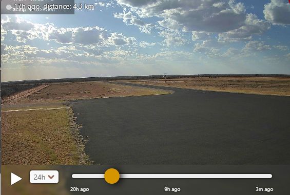
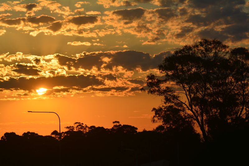
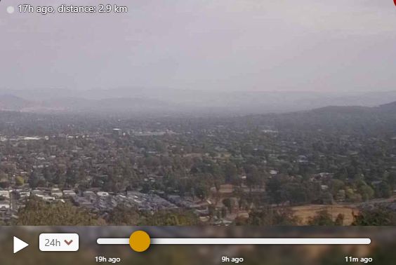
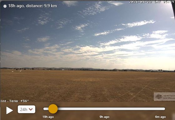
Using Windy.com, I have obtained webcam images of a selected number of locations across the affected area which are attached throughout. This has been done because it is impractical to be travelling within the affected area due to various risks involved with such heatwaves and the threat of heatstroke. In particular:
- The horizon is often hazy due to the dust and smoke from distant fires.
- Less number of people are outside.
- Clear skies are allowing maximum daytime heating to occur.
- Lack of rain with dried out vegetation and in many cases, a grass cover is non existent.