For the past 7 days, there has been some dynamic weather within Australian waters as well as some intense thunderstorm and rain activity across parts of the country. From tropical cyclones within Australian waters to intense thunderstorms and rainfall that has brought local flooding, the past week has been active weather wise.
Tropical cyclones
It has been a quiet season for such storms but during the week, two tropical cyclones formed within Australian waters but fortunately, both moved away from the country with one heading west away from Western Australia and one heading south east away from Queensland towards the North Island of New Zealand.
Tropical Cyclone Freddy
Tropical Cyclone Freddy formed south of Indonesia but north west of Western Australia. Depending on what rating is used:
- The storm reached Category 3 under “The Australian Tropical Cyclone Intensity Scale” while within Australian waters.
- The storm reached Category 2 using the Saffir Simpson Scale while within Australian waters.
- The storm may reach Category 3 on the Saffir Simpson Scale as it continues to move westward away from land.
The storm remained well offshore and would have only impacted flights between Australia and Indonesia. The storm has now moved so far west that it now poses no threat to any part of Australia.
It had sustained peak wind gusts to 75 knots at the core or 139 km/h while within Australian waters. Based upon CIMSS forecast models, the storm may reach peak intensity over the next 36 hours across open ocean with peak wind gusts to 100 knots or 185 km/h at Category 3. Following that, the storm will begin to travel over cooler waters which would contribute to a gradual weakening of the system.


Generally, the storm was relatively small while within Australian waters when compared to the second of the two tropical cyclones.

Tropical Cyclone Gabrielle
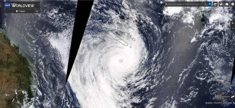
Tropical Cyclone Gabrielle formed north east of Queensland and travelled south then south east parallel and away from the coast. The storm generated substantial cloud formations and had a well defined eye at peak intensity. The storm only reached Category 2 under the Saffir Simpson Scale but rated 3 under the Australian Tropical Cyclone Intensity Scale.


The storm passed close to Norfolk Island and is now a strong storm but below tropical cyclone strength as it approaches the north island of New Zealand.

The images attached are a combination of NASA and CIMSS taken Thursday 9 February 2023.
Thunderstorms / Rain and floods
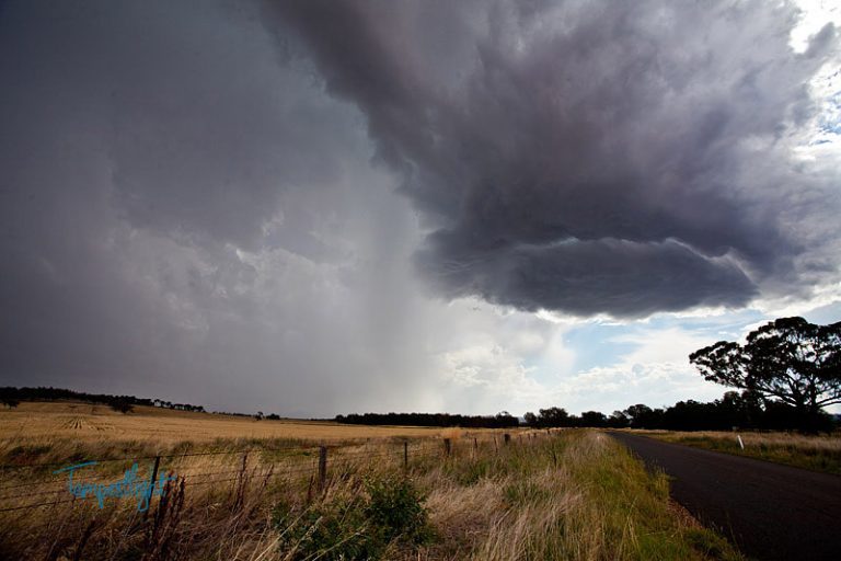
While the cleanup at Port Macquarie continues following the recent thunderstorm and microburst event across parts of the city, other parts of the country were impacted by significant thunderstorm or rain events. Thunderstorms and rain events impacted:
- Coastal Sydney but mostly within the coastal areas and areas 10 to 15 km inland. The bulk of the activity was centred around Botany Bay and nearby areas.
- Wagga Wagga and nearby regions.
- Central West New South Wales.
- Southern Cape York Peninsular Queensland where falls of 200 to 300 mm fell.
Thunderstorms across coastal New South Wales were hit and miss. Many areas across Western Sydney recorded minimal or even no rainfall (eg 1.2 mm from 2 very light passing showers at Doonside where I live to 65 mm at Little Bay).
Other areas were impacted by flooding rains but fortunately, such rainfall was localized and limited to exposed coastal regions.
To 9 am Thursday morning, 380 mm of flooding rains fell at Greenwell Point with 133 mm falling at Foxground and 127 mm falling at Kiama (All within the Illawarra region).
At the same time, falls of up to 65 mm fell across parts of Sydney from heavy overnights showers including:
- 65 mm at Little Bay.
- 62 mm at Sydney Airport.
- 57 mm at Sans Souci.
Such rainfall did not penetrate inland.
During mid Thursday afternoon, a slow moving thunderstorm across south eastern Sydney dropped some substantial rainfalls including:
- Audley (Royal National Park – 95 mm.
- Mount Pleasant – 85 mm.
- Mossman – 56 mm.
- Terrey Hills – 53 mm.
This certainly caused flash flooding cutting roads and creating havoc.
Major thunderstorms and heavy rainfall impacted Bellambi during Friday where between 11 am and 1 pm Friday, 110.6 mm fell for a total of 116 mm for the 24 hour period to 9 am Saturday morning.

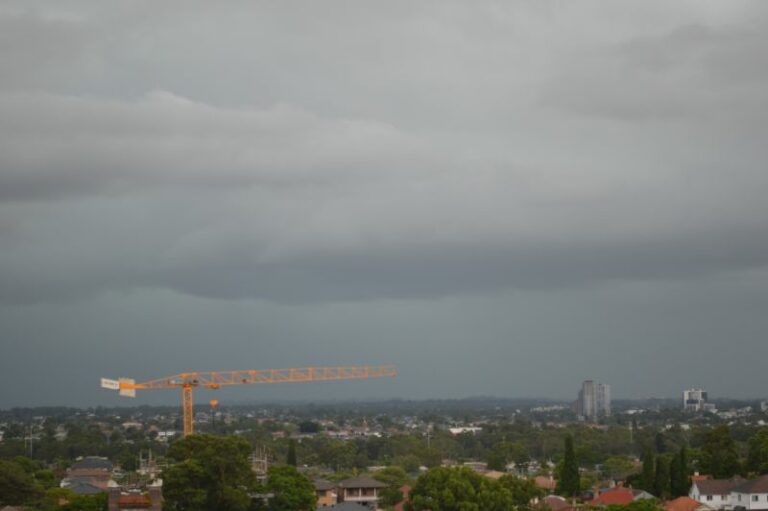
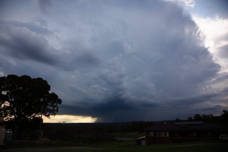
Even on Friday evening and as shown in the attached photos taken from Doonside, an isolated thunderstorm passed along coastal Sydney at sunset creating a colourful scene looking east.

No storm activity reached further west than Auburn and much of Sydney’s west between Blacktown and Penrith remained dry. This is shown in the weekly rainfall plot generated from the “Water and the Land”.