A new storm season already began early in April. Last few days were very active. from Thursday to yesterday (Tuesday), we had storms every single day. Except yesterday, there were mostly unorganized multicells, and some pulse storms. There was almost no shear until yesterday.
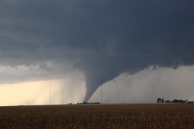
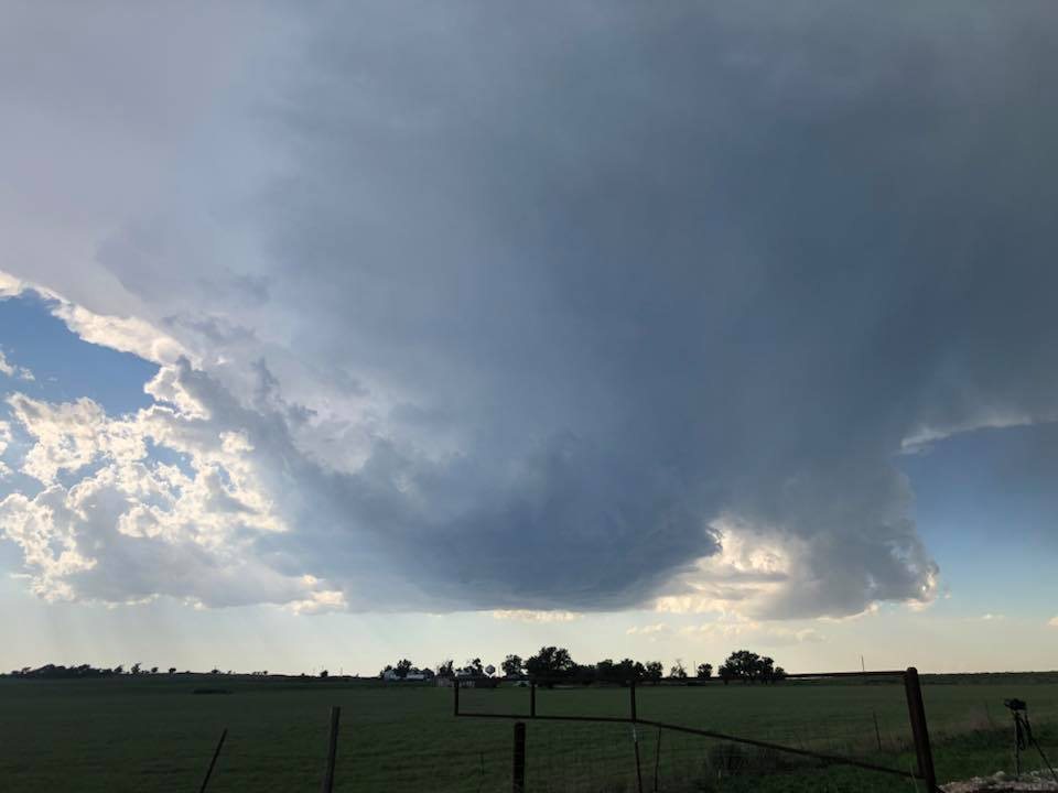
Photos are from ZEVS forum members. This photos were shot from thursday to tuesday, and are here presented in a random order.
In saturday, we were under a weak anticyclone. The diurnal heating was strong, so storms formed. (I have marked the location of Slovenia). All these days, CAPE values of 1500+ J/kg were present, so there was a lot of lightning and some hail events.
User krispy123:
my photos
User ˝ablak˝:
User ˝gregach˝:
Webcam:
Here is the radar from saturday:
And lightning location from saturday:
Yesterday (tuesday), the shear was a bit better, and some briefly organized multicells managed to form. The CAPE was around 1200+ J/Kg, and it was enough for a good lightning display.
Radar:
Photos from user ˝Markuš˝:
Photo by Nejc Trampuž:
And my photos:
Weak shelf cloud:
Hope you enjoyed it
This friday an intense cold front will pass over, so I am already looking forward for some action.