Knowing that storms were likely to occur Saturday afternoon within the ranges to the west of Sydney I remained vigilant and kept watching the skies to the north west and south west of the city.
Late morning, a weak thunderstorm developed to the north west which was within an area west of Putty Road. The cell did not appear to be significant at the time.
Whilst this was occurring, another cell formed to the south west of the city and became in my opinion, more robust. The cell was located around the Appin area. I decided to target the storm cell and undertake a storm chase to the south west of Sydney.
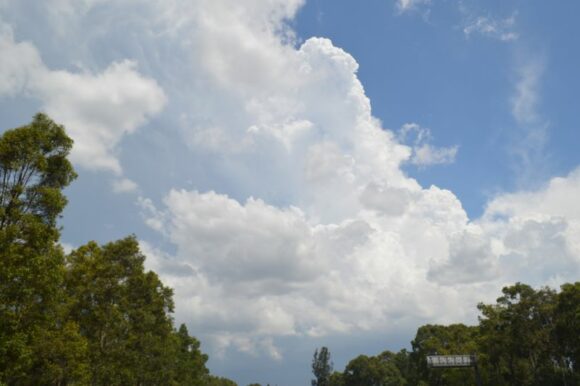
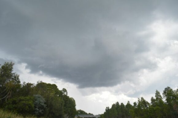
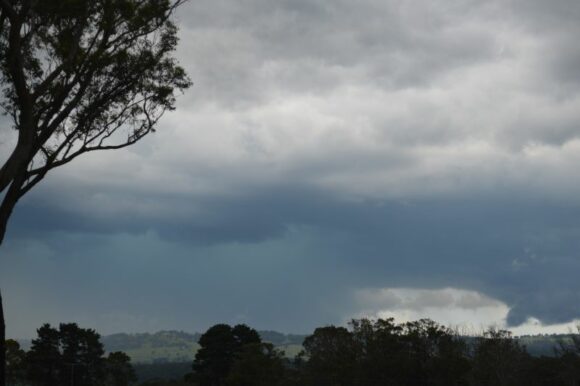
I quickly headed down the M7 Motorway where I intercepted the thunderstorm around the Campbelltown area, briefly stopping on the side of the road to take photos of the cloud updraft towers and later the base.
By this stage, I noted that the storm was gradually going into a weakening phase so I decided to drive underneath its base where I intercepted a burst of heavy rain. There was no hail and little wind at the time.
I continued towards the south west where a much stronger thunderstorm was developing near Mittagong.
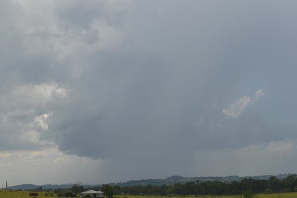
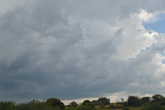
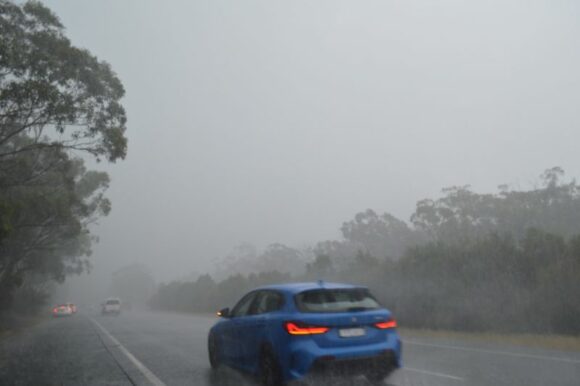
I intercepted this thunderstorm just south of Pheasants Nest with very heavy rain encountered. This was an interesting storm due to its behaviour. It was clear that it was moving very slowly but it continued to build to the west and south so I finished up within its core for at least 40 minutes.
I encountered strong to gale force winds at times and constant bursts of hail varying from pea size up to at least 2 cm but given the intensity of the rain and wind, the hail was being washed away fast or was melting fast.
I deliberately stopped on the side of the freeway at a safe point to video tape and to take photos. It was here that I found myself within a downburst or microburst. Intense winds and flooding rains were a feature. I was observing water overflowing the freeway from the intensity of the rain.
After at least 40 minutes of this, eventually the storm moved just to the east and I continued my journey to Hilltop near Mittagong. At Hilltop, I observed the storm going into slow decline but with another storm cell forming to the south east and a separate cell to the west.
I took photos and video of the new thunderstorm at various locations.
The third thunderstorm of the day formed rapidly but also went into fast decline.
At Mittagong or the area around Braemar, I became aware of another thunderstorm to the north west which was over Penrith. I could see the updraft towers and glaciated anvil but knowing that it was too far away to pursue this, I concentrated on the remaining storms around Mittagong before returning home.
The storms of Saturday had the following characteristics:
- Slow moving.
- Were dropping intense rainfall with hail from their bases.
- Producing downburst or microbursts as one was encountered.
- Formed rapidly but collapsed just as fast.
It is noted that 62 mm of rain fell at Mittagong with 44 mm within nearby localities being the highest falls within the state of New South Wales for the day. Such falls were localised to this one area indicating that the storms were slow moving and concentrated within one area.
The storm that impacted Penrith also dropped 31 mm at that location, plus 39 mm at Bilpin and 29 mm at Shanes Park. Again, such falls were localised to a small area being the nature of such events.
The photos attached are my favourites from this storm chase.
The feature photo is one taken at Hilltop looking to the south as a developing storm reaches peak intensity. This storm also quickly decayed shortly after.
