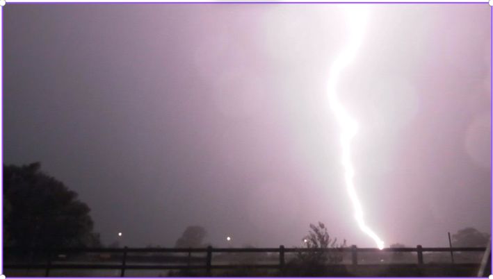
The thunderstorms and squall line event that impacted much of Eastern New South Wales during the afternoon and evening of Wednesday 15 January 2024 is regarded as one of the more significant weather events for the summer season.
This was a strong weather system that developed across the southwest slopes and Riverina region of New South Wales during the afternoon. After its formation, the system raced east across the state and crossing the coast at or after sunset.
Prior to the system developing into a squall line, strong but separate thunderstorm cells developed around North East Victoria / Southern New South Wales and the Wagga Wagga region.
Some of the known impacts of the earlier events include:
- Wangaratta / Bright / Wodonga – Brief thunderstorms, wind damage and trees being brought down as well as isolated reports of hail in the 1 to 2 cm range around parts of Albury (Appears to be the northern and eastern areas of the city).
- Wagga Wagga - Powerful wind gusts to 106 km per hour between 2.09 pm and 2.13 pm which caused some property damage across the city as well as 10 mm of rain at the local weather station.
- Cowra - A peak wind gust to 107 km/h occurred including 1 fatality from a falling tree.
- Wellington - Hail to 4 cm observed.
The weather system gathered strength as it raced eastward and became linear as it neared the coastline.
There were thunderstorms forming ahead of the main weather system such as the cell seen in one of the images which is over Penrith. Isolated but weak thunderstorm cells were also observed to the north west of Parramatta at around 4 pm. Generally, the earlier cells weakened ahead of the main system.
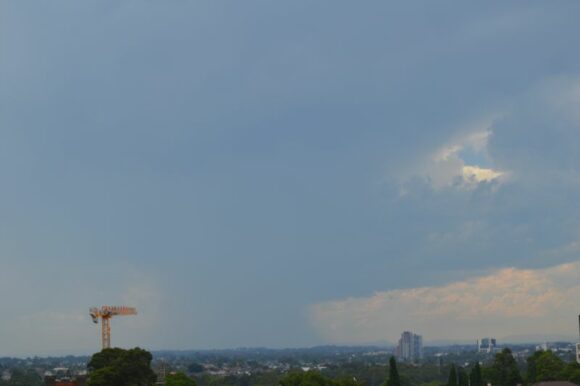
I left work at 4 pm and made a valiant attempt to try and intercept the Penrith cell however as I drove closer, the storm went into decline. The anvil cloud passed over producing a light shower but nothing significant.
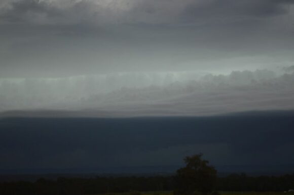
After dinner, I went to Luddenham and watched the entire event unfold at a few vantage locations along Campbell Street just to the west of town. I was able to observe the entire event as it closed in on Sydney. Some observed features include:
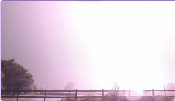
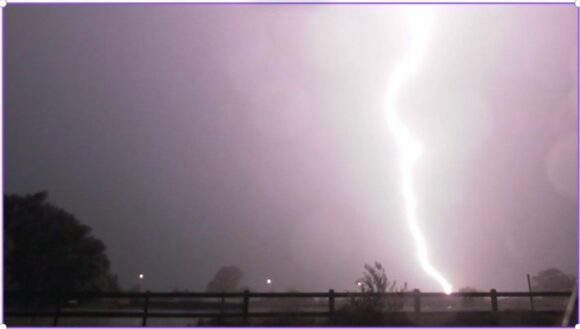
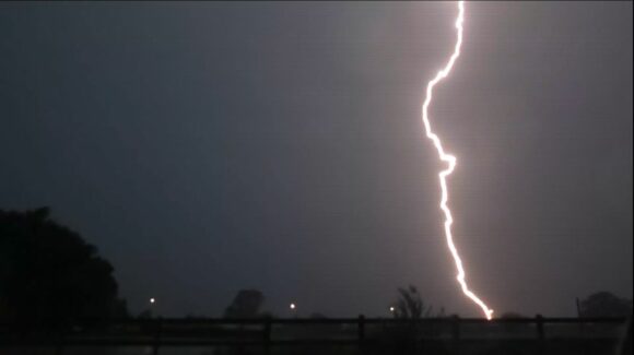
- Various forms of lightning including positive and negative lightning and occasional anvil crawlers ahead of the main system. I have not seen this behaviour from a squall line in many years. Some cloud to ground strikes pulsed and such lightning was constant.
- Strong updraft towers and a solid shelf cloud that sustained itself.
- Occasional scud cloud.
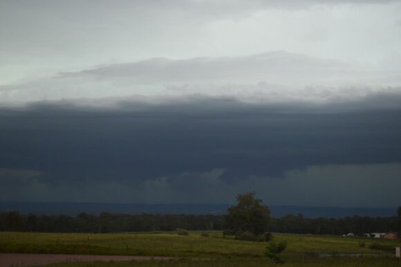
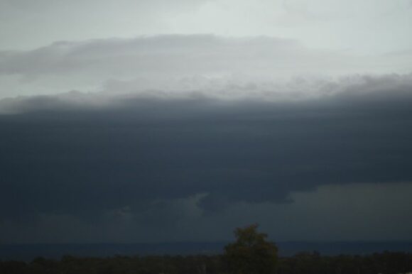
I let the system pass over me which included a substantial shelf cloud. The trailing edge was delineated by strong straight lined north westerly winds and intense rain with some solid lightning strikes and associated thunderclaps. I did not experience any hail at my location. I video taped parts of the event and captured a few stunning lightning flashes including one that was extremely close as well as the ensuring thunderclap.
I only left Luddenham after the initial event had passed over to the east.
This was a long lasting event as the final lightning flashes and thunderclaps did not cease until at least 10.30 pm late Wednesday evening.
This was a major event and the following impacts are identified:
Wind
- Richmond - A peak wind gust to 89 km/h between 7.52 pm and 8.01 pm as the initial squall came through.
- Sydney Olympic Park - A peak wind gust to 69 km/h at 8.21 pm.
- Sydney Airport - A peak wind gust to 100 km/h occurred between 8.26 pm and 8.32 pm.
The strongest known wind gusts topped 120 km/h at Trangie and 117 km/h at Kurnell.
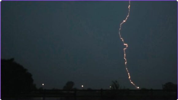
Lightning
It would appear that the Weatherzone Lighting tracking network recorded up to 1,819,000 lightning strikes and flashes from the storm system including at least 73,700 within 100 km of Sydney and 8,777 strikes reaching the ground within 40 km of Bankstown (Source Weatherzone 2025).
Rain
The system featured bursts of heavy rainfall. For example, my rain gauge collected 28.5 mm from the event which is similar to other nearby localities. The heaviest totals around Sydney include:
- Camden - 30.4 mm.
- Campbelltown - 33.8 mm.
- Horsley Park - 38.2 mm.
- Sydney Olympic Park - 39.4 mm.
- Bankstown - 54.4 mm.
- Observatory Hill (Sydney) - 48.4 mm.
- Holsworthy (Defence) - 59.2 mm.
This pales to other totals including:
- Moruya - 65 mm.
- Araluen appears to have received 31 mm in 30 minutes.
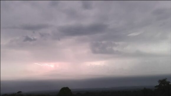
The squall line event was a narrow event but had a north to south length that was approaching the length of the New South Wales coastline as it crossed out to sea which is also rare to see.
Additional events
There have been additional separate individual thunderstorm events that have occurred during the Tuesday to Thursday period which has added to what has occurred. They include:
- A likely supercell thunderstorm impacting the Granite Belt of Queensland where hail to 7 or 8 cm has been documented near Stanthorpe (Inland southeast Queensland).
- Another similar event at Grafton (Northern Rivers) Thursday afternoon (Early afternoon) with substantial hail falling up to at least 10 cm in size (Maybe slightly larger in size). This storm was certainly warned with specific warnings that covered Doon Doon, Kyogle, Grafton and Booms Head.
There are also storms to the west of Sydney on Monday and Tuesday afternoon which I could not chase.
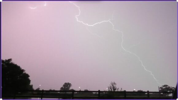
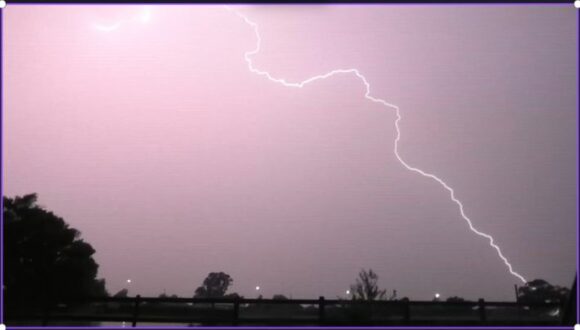
This has been an active period and various repair and clean up operations are currently underway across affected regions. I noted some of this when returning home Wednesday evening with two areas without power probably due to lightning strikes on the electricity network.
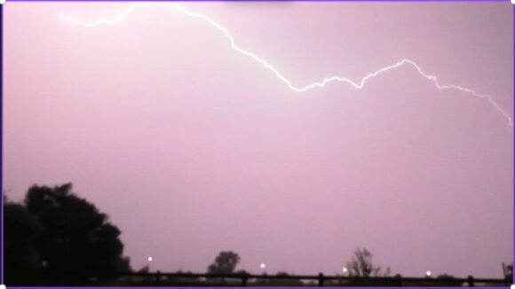
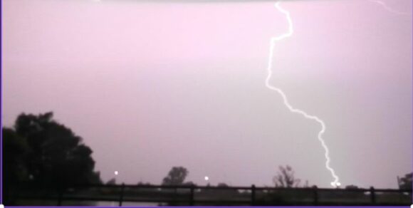
The Wednesday event is certainly a highlight in terms of catching stunning images of lightning strikes. What I captured was just a small part of a much larger weather system that impacted the state during Wednesday.
