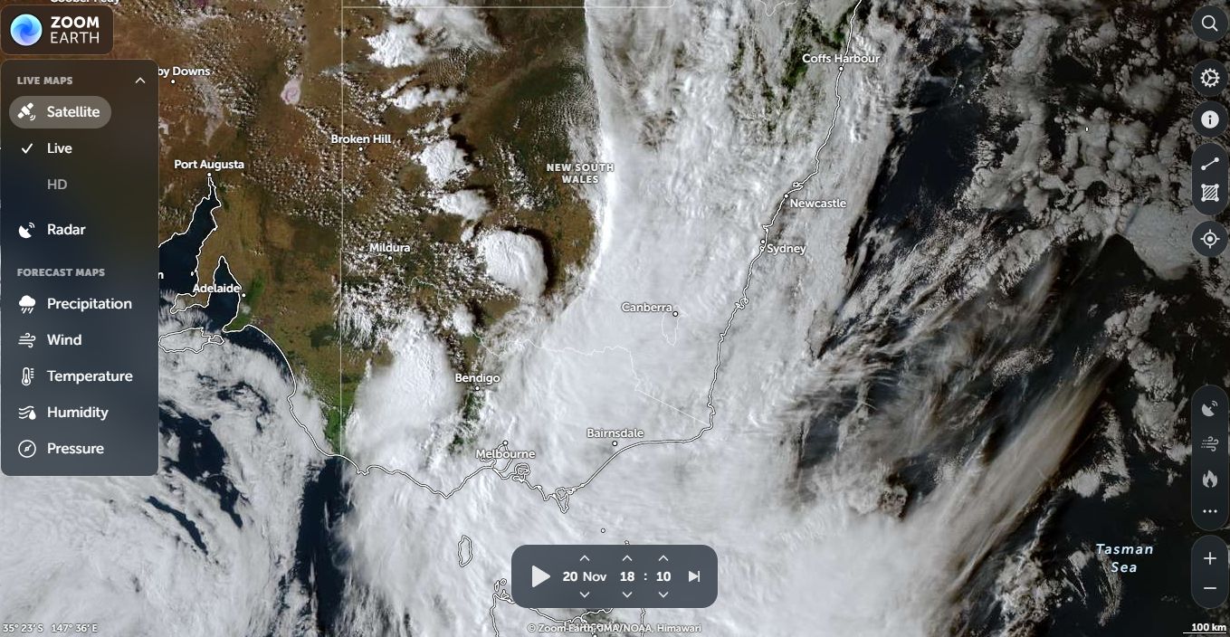
During the past 5 days, several weather events have impacted various regions across southern and Eastern Australia. However, during Thursday and Friday, a more significant event crossed over large regions of Australia generating intense rain at times, thunderstorms and even localised flooding.
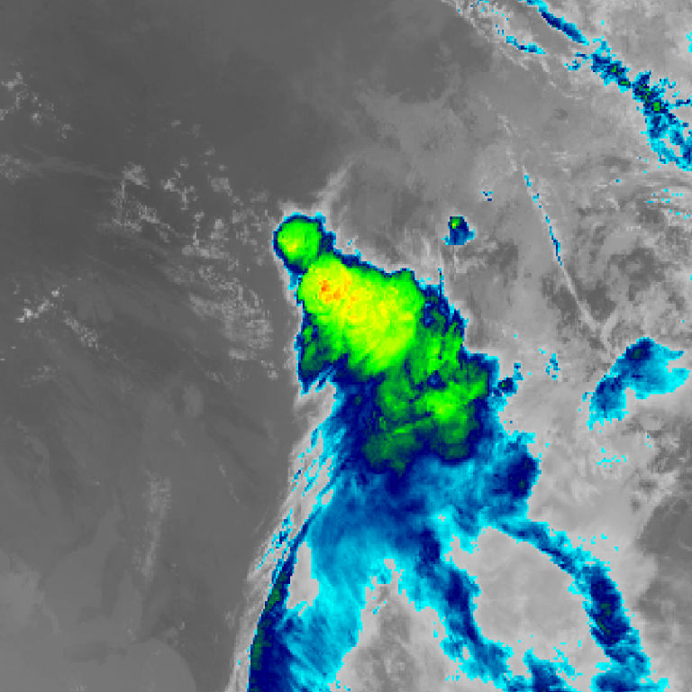
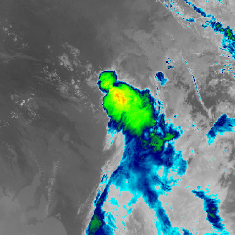
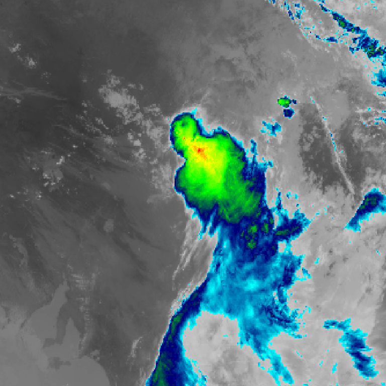
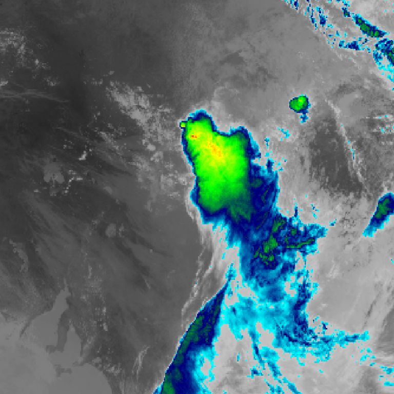
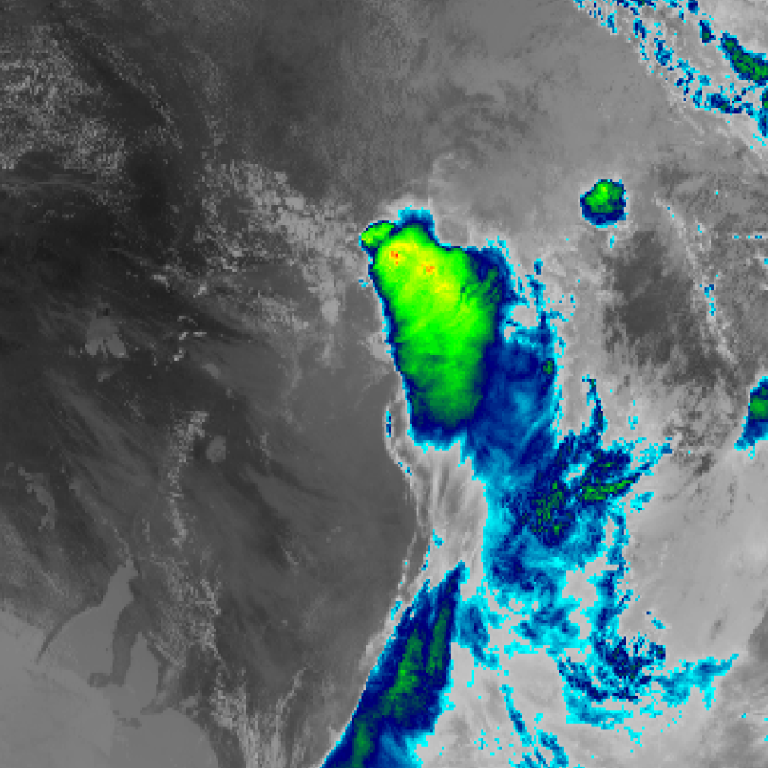
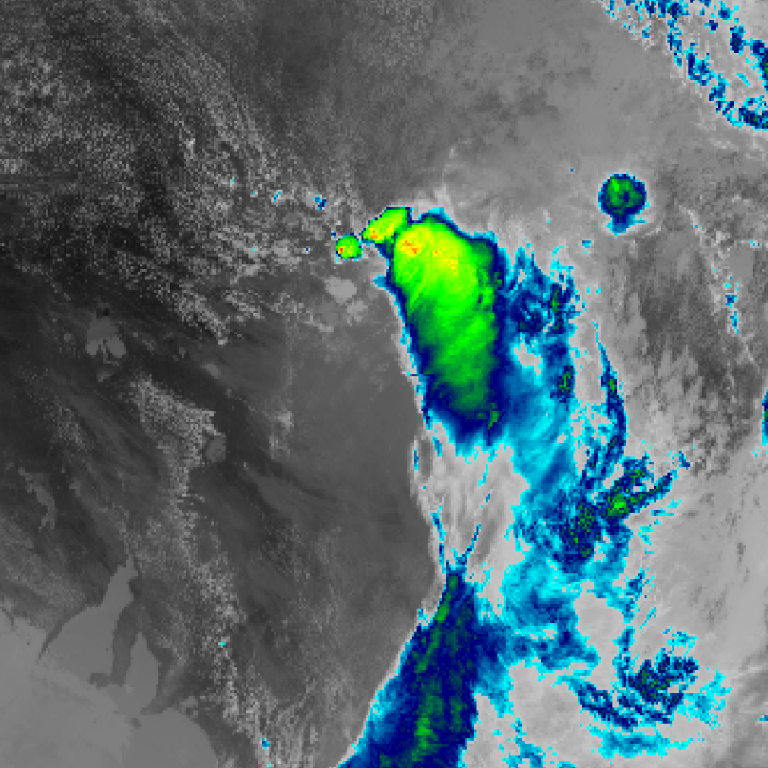
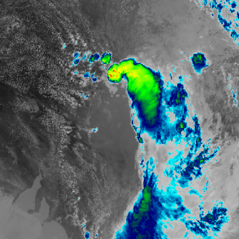
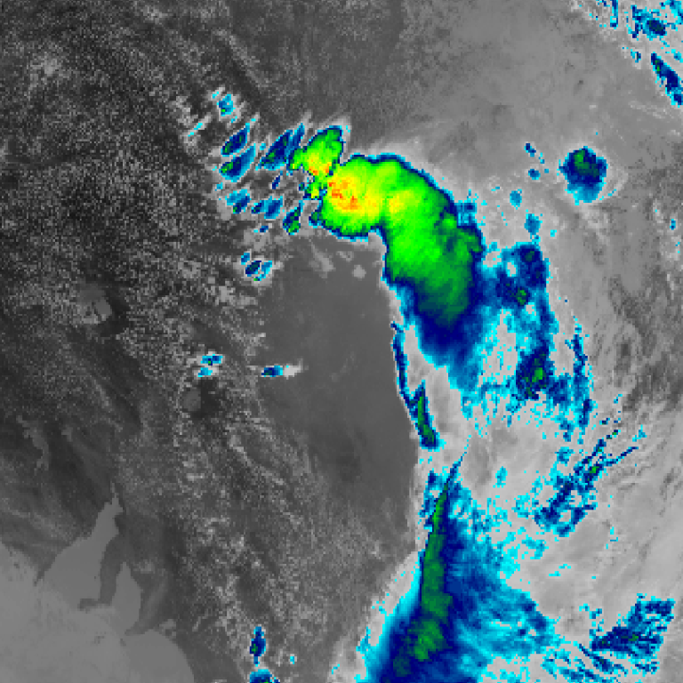
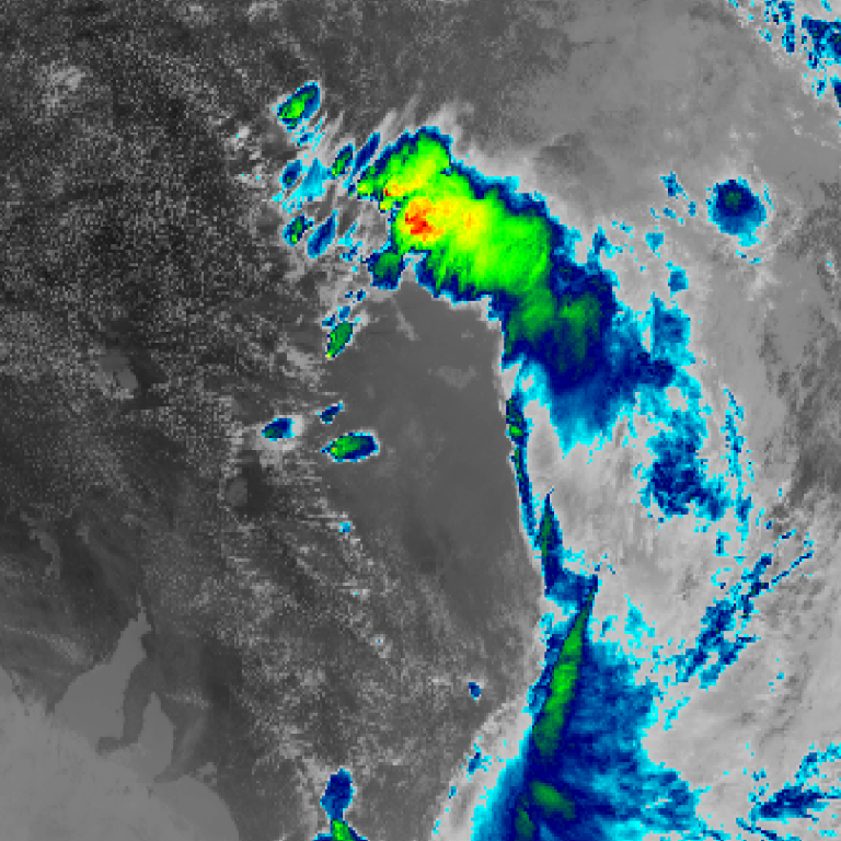
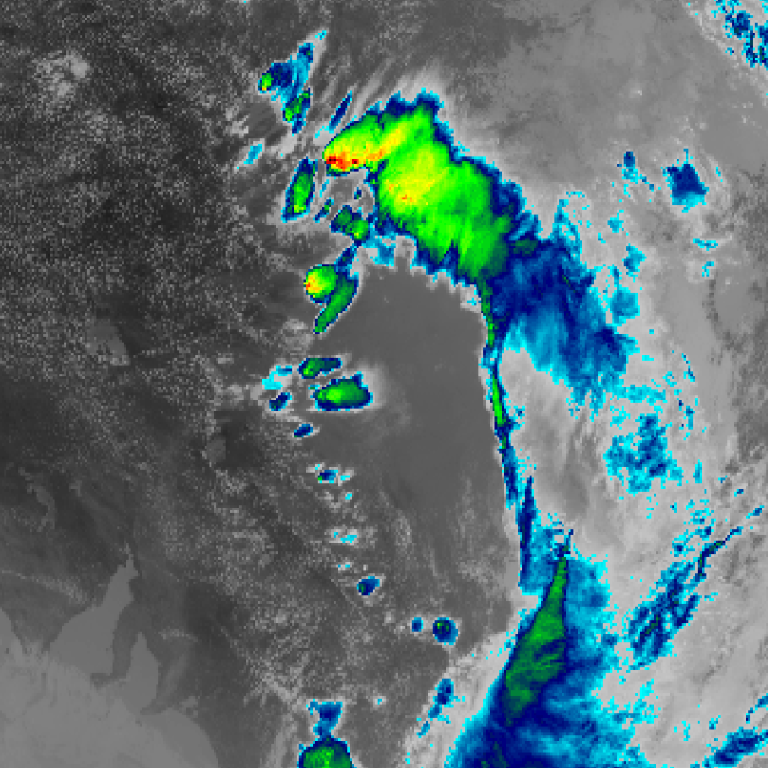
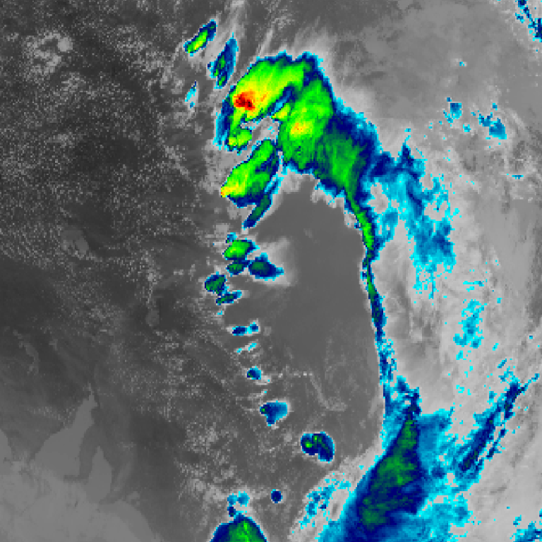
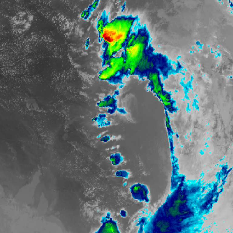
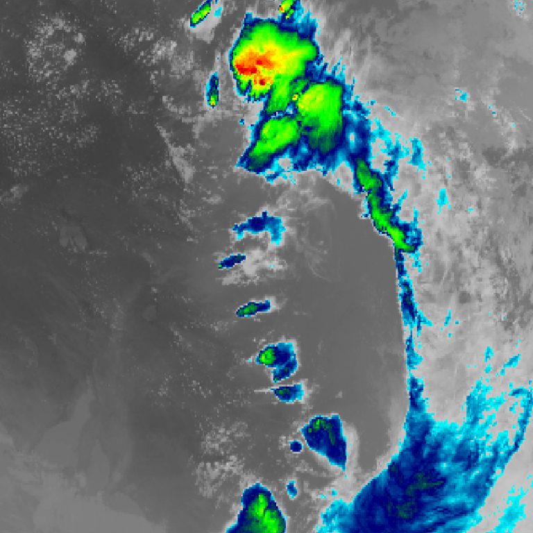
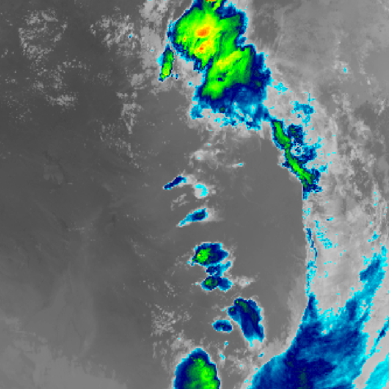
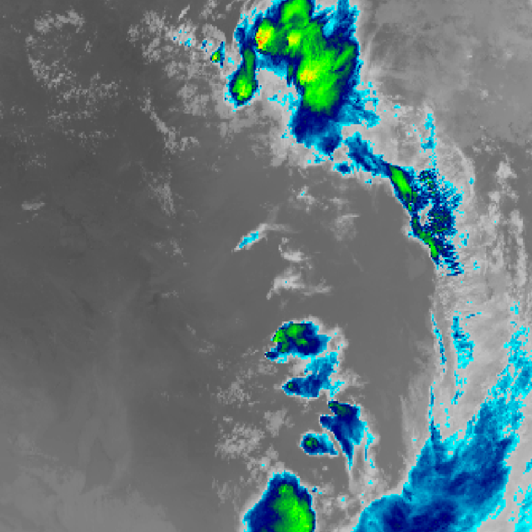
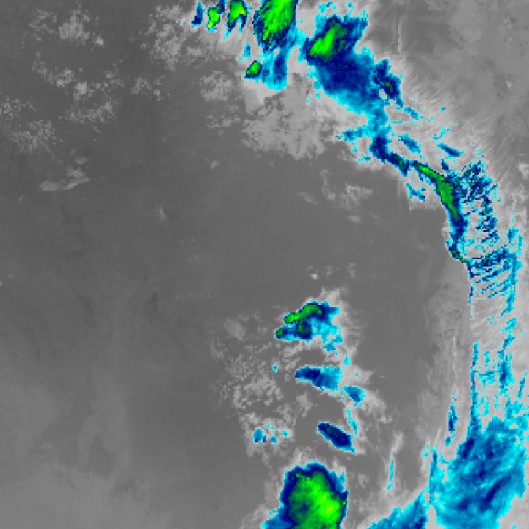
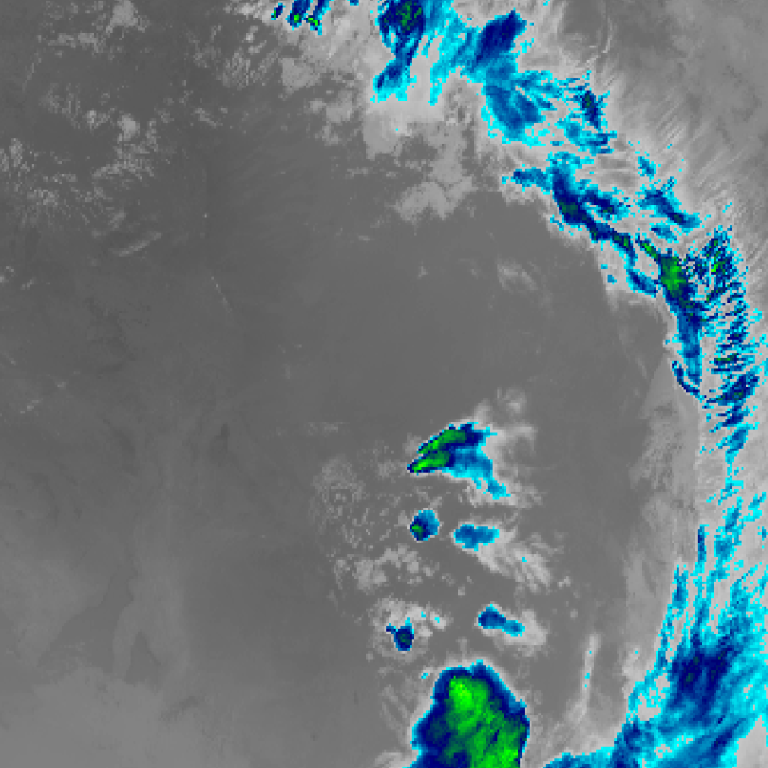
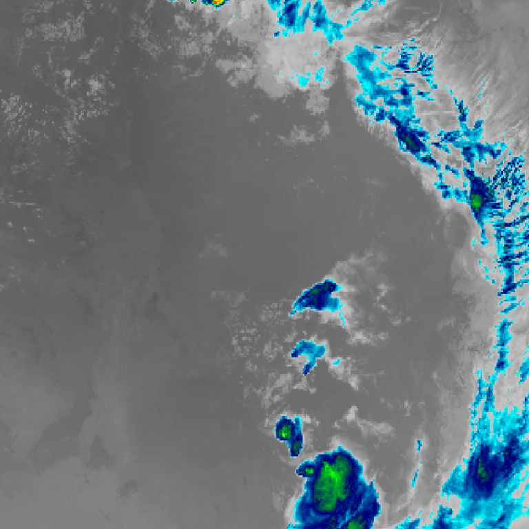
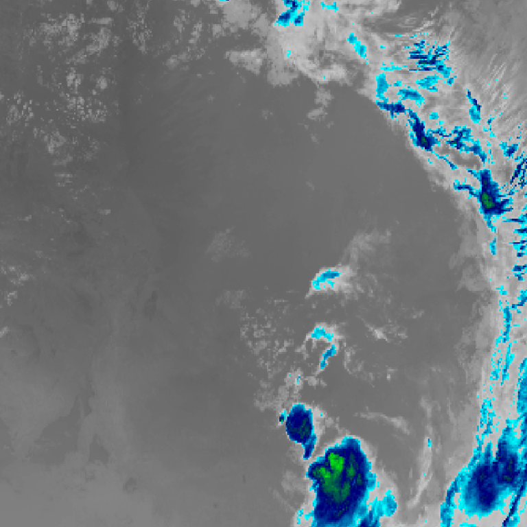
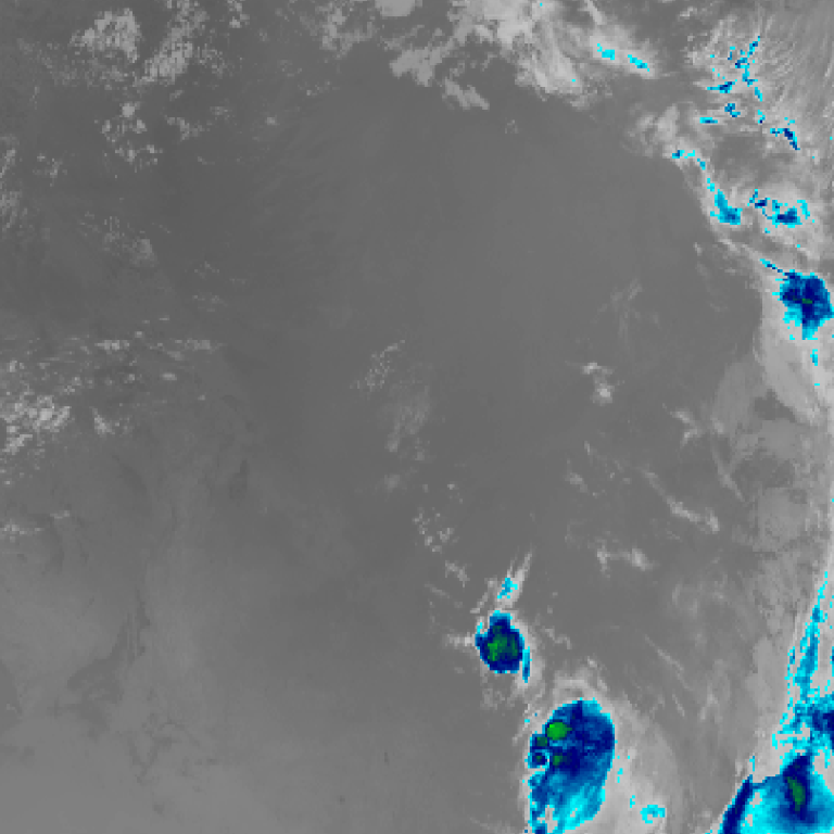
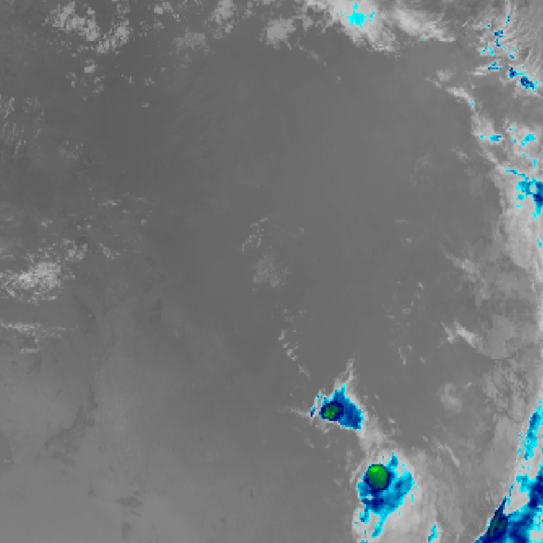
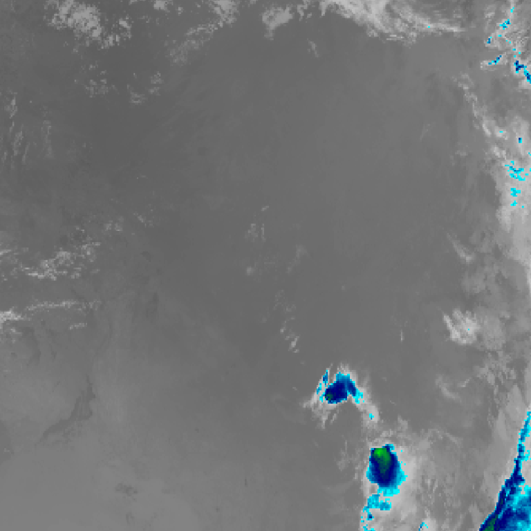
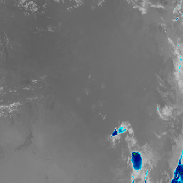
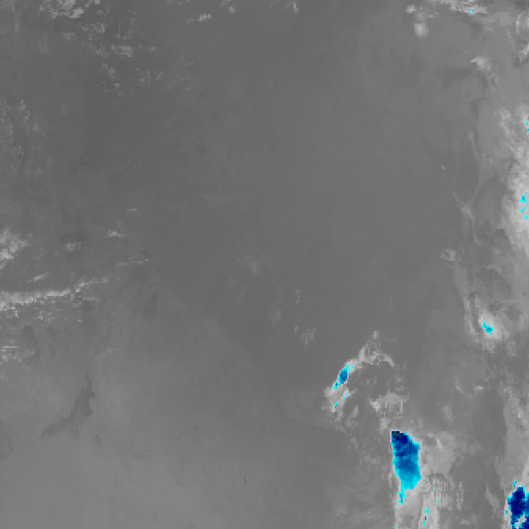
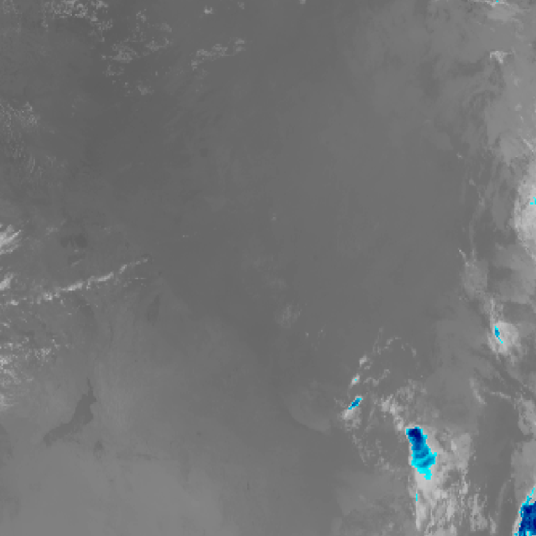
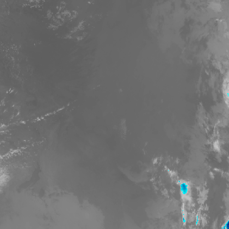
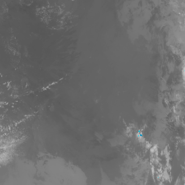
Himawari satellite loop (infrared) · 9:00am AEDT – 8:20am AEDT · Imagery: JMA Himawari via NASA GIBS
It has been a turbulent week which is reinforced by what occurred during Thursday and Friday. In particular:
1 – Monday
- A hailstorm impacted the town of Mudgee with hail drifts reported.
- Blacktown – An intense midday rainstorm dropped over 30 mm of rain within a short period of time across Blacktown and Rouse Hill regions. This was so localised that areas outside the Blacktown and Rouse Hill region received little or no rainfall and for much of Sydney, it was a relatively dry but cool day. My rain gauge held 33 mm from the event.
2 – Thursday
Thunderstorm activity impacted parts of South Australia and one particular storm downed electricity towers on the Eyre Peninsular cutting power to local residents.
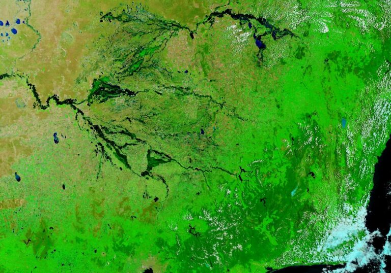
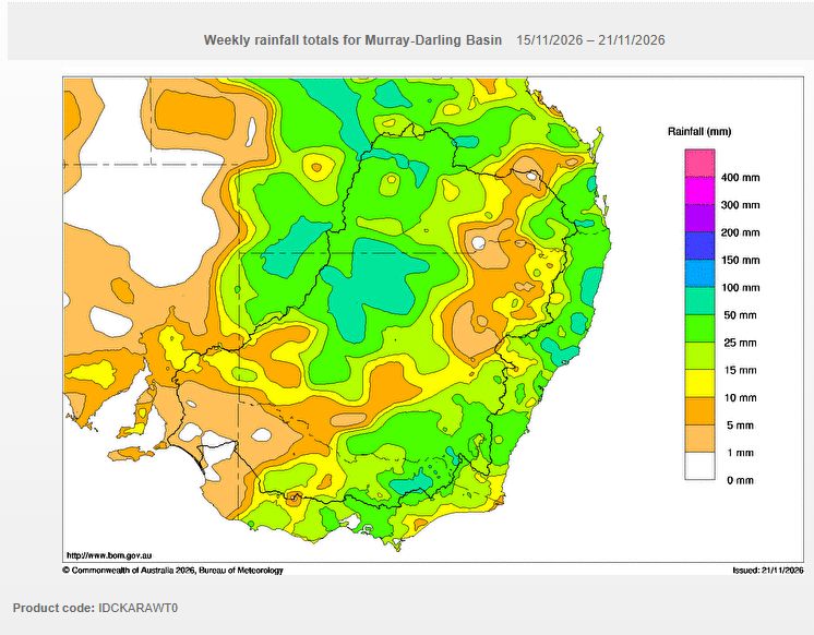
A significant cloud mass crossing over inland New South Wales and south west Queensland produced some impressive 24 hour rainfall totals. Higher rainfall totals resulted where thunderstorms occurred and in one such case, a fall of nearly 200 mm occurred in a remote area of New South Wales which is rarely if ever recorded. In particular:
- Wanaaring Delta (AWS) – Recorded 199.2 mm. This is impressive for an outback locality where such falls are rarely if ever recorded.
- Tibooburra Airport – 66 mm. Again, another impressive total for a region that rarely receives rainfall at this time of the year.
- Byrock – 61.8 mm.
- Wanaaring Post Office – 57.4 mm.
The big totals were hit and miss because numerous areas missed out. This was limited to northwest New South Wales and far southwest Queensland.
3 – Friday
During Friday, extensive rainfall impacted southwest New South Wales and Northern and northeast Victoria where 30 to 70 mm falls were relatively commonplace. Some of the better totals include:
- Cheshunt – 78.8 mm.
- Mt Buffalo Chalet – 78.6 mm.
- Harrietville – 71.6 mm.
- Falls Creek – 66 mm.
- Puckapunyal – 58.8 mm.
- Castlemaine – 49.4 mm.
- Deniliquin – 43.4 mm (It is known that a couple were taken to hospital and lucky to survive a lightning strike on their tent).
- Kapooka – 36.6 mm.
- Albury Airport – 33 mm.
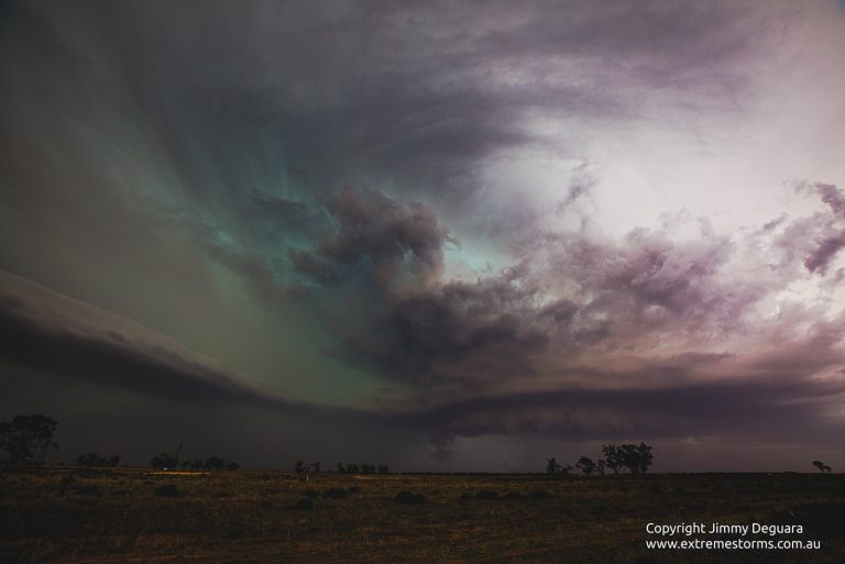
A thunderstorm crossing over northern Victoria late Friday boosted rainfall totals further.
All this is coming against the backdrop of a strong El Nino and such rainfall totals are barely unheard of during such a year. The warmer than normal oceans around Australia are surely having an impact counteracting the larger weather system and some of this is penetrating deep inland.
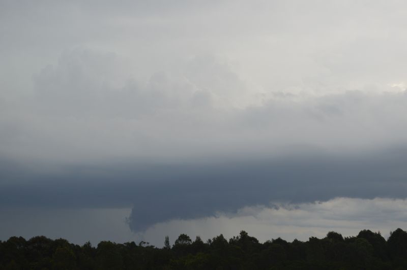
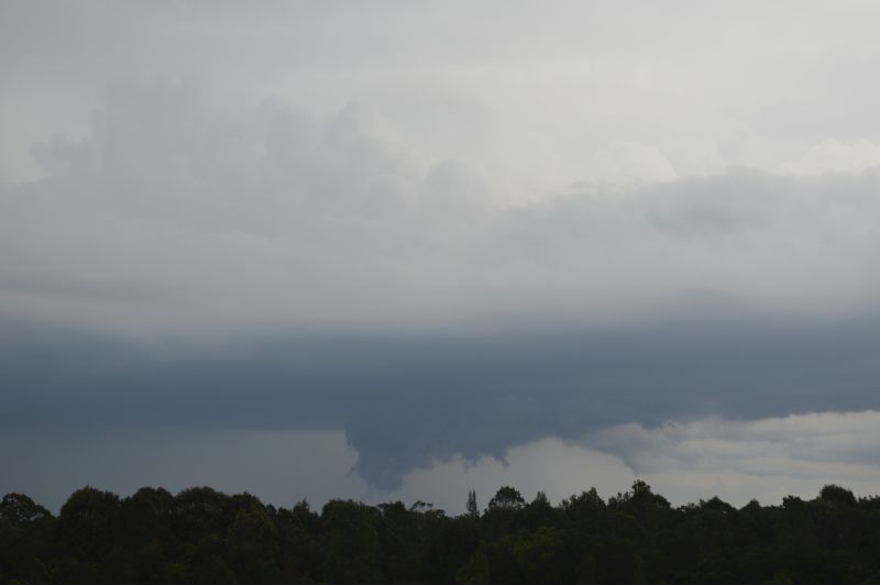
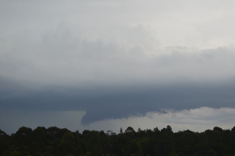
Late Friday afternoon, a small thunderstorm cell was identified over Penrith which was tracking south. The storm dropped 17 mm of rain over Badgerys Creek before going into a weakening phase. The images attached to the post are taken from Bungarribee Park looking west towards the storm at peak intensity.
Such conditions have been repeated over and over again of recent weeks and likely to continue for the foreseeable future.