During the week ending Saturday 23 September 2023, most of Eastern New South Wales experienced some significant rainfall especially during Tuesday and Wednesday.
During Tuesday, a southerly changed moved north along the New South Wales South Coast reaching Sydney by 7.30 pm and taking at least 60 to 90 minutes to cross the city. The change generated some thunderstorm activity but this was relatively minor in extent across the Blacktown area. The main impact was the cool day that resulted during Wednesday including extensive and persistent rainfall.


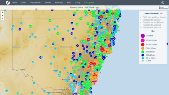
Across Sydney, cumulative rainfall totals ranged from a low of 6 mm at Terrey Hills to 76.6 mm at Penrith. Most cumulative totals ranged from 25 mm to 45 mm with a few localities around outer Western Sydney reaching up to 70 mm. The highest total within the Sydney region was 112 mm at Kurrajong.

Extensive rainfall fell to the north of Sydney including the coastal areas, tablelands and across the north west slopes and plains of the state with falls reaching 181.6 mm at Careys Creek (Barrington Tops).
Other significant cumulative totals included:
- Mooral Creek - 160 mm.
- Barrington - 132 mm.
- Robertson (The Pie Shop) - 127 mm.
- Clarence (Zig Zag) - 122 mm.
- Killabakh - 115 mm.
- Mallaley Post Office - 100.2 mm.
It is known that a significant hail event occurred at Termeil on the New South Wales South Coast Tuesday afternoon.
The southern and western parts of the state fully missed out on any rainfall from the event.

I have attached the cumulative weekly rainfall for new South Wales ending Saturday 23 December 2023 which clearly identifies the event.
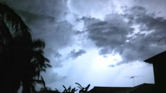
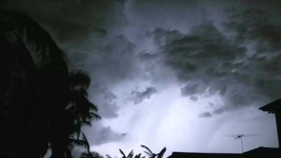
The photos attached to the report were taken during an evening storm of Saturday 2 December 2023 which was similar to the type of storm experienced Tuesday evening across the Blacktown region 19 December 2023. In this regard, most lightning observed again was sheet lightning but the actual storm event that accompanied it was relatively short lived.
