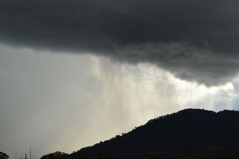
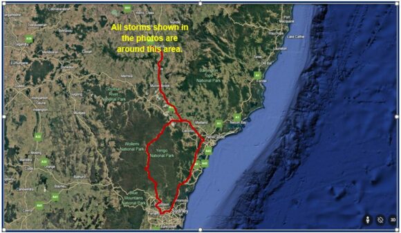
Following a detailed review of the expected weather for the day, I was comfortable with the prospect of undertaking a storm chase to Scone and possibly areas further north along the ranges to Murrurundi (Upper Hunter Valley). Weather models showed some consistency with the day’s expectations.
Following a discussion with Jimmy, I set out north towards Putty Road. Heading towards Windsor, I encountered a heavy rain shower but quickly passed through this into clearer skies.
I made my way north along Putty Road into clearer skies and totally free of the cloud, showers and early storms that were affecting Sydney. I also noted an increase in air temperature as I went further north.
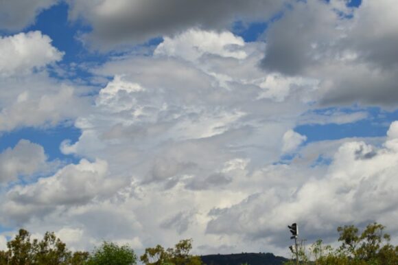
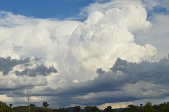
Upon reaching Singleton after midday, I then made my way northwest along the New England Highway to Muswellbrook then Scone stopping at least twice to review cloud formations.
I could see distant storms developing near and south of Tamworth but these were weakening and producing a large anvil cloud formation. This for a while limited further storm development within that region. Strong cumulo congestus cloud formations across the nearby hills were evident and it appeared that I had to go further north to Wingen then Murrurundi.
This proved to be the correct move because as I approached a township called Blandford, the first cumulonimbus cloud towers formed close to where I was. There was one cell to the east and one to the north. After taking photos, I continued onto Blanford where I stopped off the highway to document the first storms across the region.
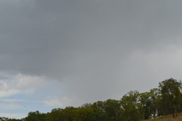
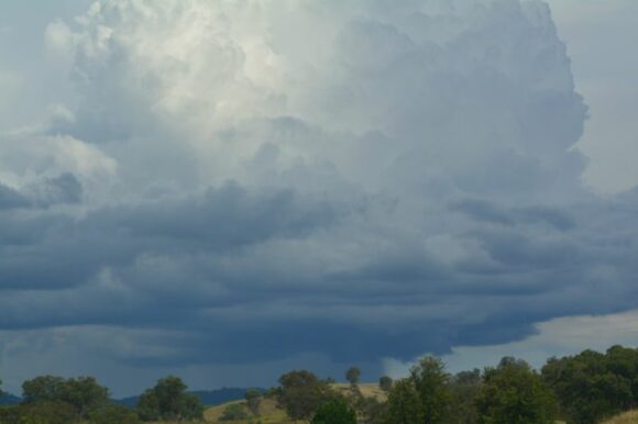
A storm matured just to the south of where I was with the primary rain shaft falling across open farmland. This was important as the foundations were laid for later storms to develop.
I also photographed another separate thunderstorm over the hills to the east as this storm matured. Of interest, I witnessed one lightning flash from the anvil into clear air.
Other storms nearby tried to develop but struggled and later decayed. However, I was totally aware of the first cell producing some outflow boundary to the west. In saying this, stronger cumulo congestus cloud towers were forming to the west that were sustained.
I then went to Murrurundi to document the developing storm.
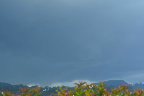
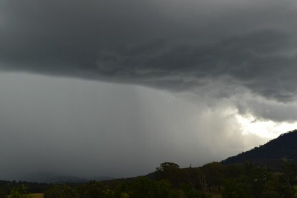
I let a storm around Quirindi and Werris Creek go due to this development which appeared to be a smart move. I could have made it as the storm was relatively strong but the storm close to me was gathering strength and was of interest.
The thunderstorm anvil cloud produced a single positive cloud to ground lightning strike (Anvil cloud to the ground) which appeared to strike a tree on the hill to the south. I was looking up at the anvil cloud and watched the powerful strike emanate from the anvil cloud. I knew I had to be careful as the cloud top was over me at the time.
I walked back to the car expecting more of these strikes for safety.
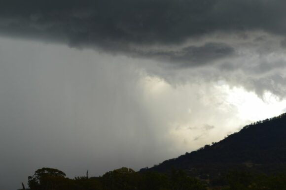
I then drove through Murrurundi then found a gravel road that went south towards Towarri National Park. I found an excellent overlook where I had uninterrupted views of the thunderstorm unleashing its rain and possible hail across inaccessible country to the south.
The cloud formations and contrasts captured in my photos are amongst my best for the spring / summer storm season to date.
It was not possible to core punch due to lack of roads but the thunderstorm and its behaviour provided an excellent conclusion to my storm chase.
The storm weakened thereafter which concluded the chase. It was now around 7 pm and remaining storms were collapsing. I made my way home back to Sydney. During the chase, I drove approximately 632 to 650 km. given that I was backtracking along a few roads throughout the day for optimal vantage points.
Other storms
I was well aware of thunderstorm development further north around Tamworth and Armidale and areas west. Occasionally, I could see their anvil tops. If it had not been for the storm at Murrurundi, I would have targeted at least the Quirindi / Werris Creek storm cell which was also of interest for the chase.
Some of the storms became severe warned and I am well aware of events occurring at Glenn Innes and near Moree. The event at Glenn Inness saw 38 mm of rain fall during a period of 44 minutes between 1.45 pm and 2.29 pm including hail.
Other notable rain and storm events include Braidwood where 60 mm fell to 9 am Saturday morning and an area around Bega where falls of up to 155 mm fell for the same period.
It is also noted that rain and storm events dropped at least 82 mm at Moruya Airport.
What I noticed during my storm chase and other events is that storms were very localized. They were also convective in nature similar to what I have seen in tropical regions in the past (Pulse storms). Given the poor shear, they would not last long. When underneath these, they would drop heavy rainfall and maybe hail over a small area with other areas missing out.
Even during my return to Sydney, I was observing sporadic lightning to the west from another storm and I noted that a weak storm passed overhead of Doonside after midnight Saturday morning which provided a brief but heavy downpour.
