A late evening rainstorm / thunderstorm impacted a narrow corridor between Hornsby to the north and Horsley Park to the south late Saturday evening. The event followed a warm humid day across the city.
While short lived thunderstorms impacted rural areas south and west of Sydney during Saturday, none of these impacted the city.
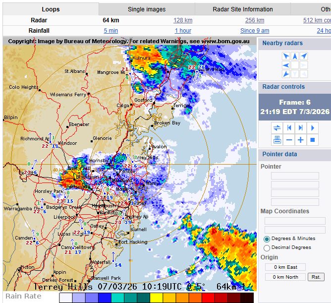
The storm formed north of Hornsby after sunset then tracked southwest over Castle Hill, then Blacktown before tracking slowly towards Horsley Park where it weakened. In this regard, it tracked southwest into Western Sydney from the northeast but was no more than approximately 10 km in width.
The storm was:
- Slow moving (Similar to the Wednesday afternoon storm) and as such, considerable rainfall fell across all suburbs in its path.
- Had little wind except that it became windy as its northern edge crossed over.
- No hail but the strong rainfall was sustained for its entire duration.
- Intracloud lightning was contained within the core but no cloud to ground flashes observed.
I have attached the cumulative rainfall information using the Sydney radar information and the track of the storm is visible. This is highlighted in red as its width was narrow.
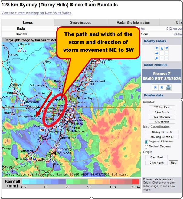
When zoomed in, it can be seen that falls amounted to between 25 mm and 40 mm.
Kings Langley received 26.5 mm. Unfortunately, there were limited rain gauges within the path of the storm but the computer models clearly suggest falls of 25 mm to 40 mm within the narrow path.
My rain gauge picked up 33.7 mm and consistent with the model shown.
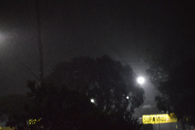
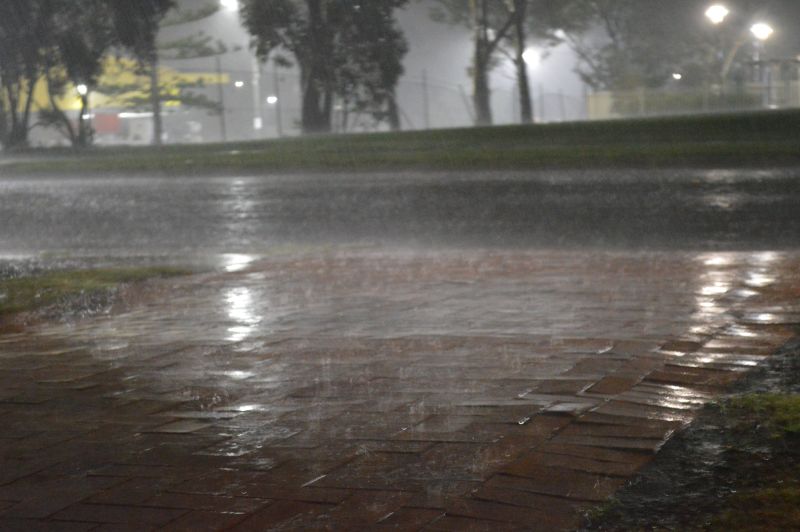
I managed to take some night time photos of the rainfall intensity which is added to the post.
It is likely that brief flooding would have occurred within some low lying areas given the intensity of the rain that occurred.