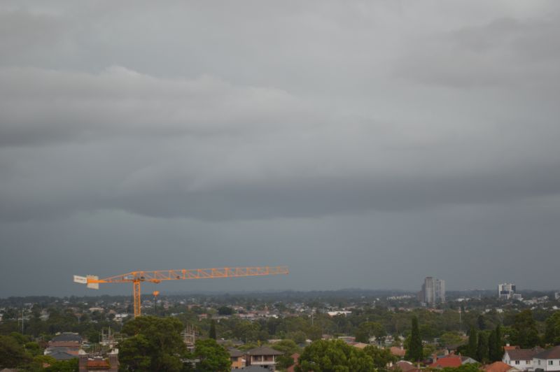
The two images attached to this post are taken at 11.24 am looking west from the Cumberland City Council car park (Auburn). This is the view as the squall line like rainstorm / thunderstorm encroached eastward across Sydney.
The day started generally cloudy and there was only limited heating prior to the event. As such, maximum daytime temperatures did not exceed much above 25C or 26C for most regions.
The storm crossed Sydney west to east after 11 am before clearing out to sea by 1 pm.
The storm was severe warned mainly for heavy rainfall and strong winds and there were some significant rainfall totals.
My rain gauge registered at least 37 mm for this event but other totals were much higher and indeed, flash flooding featured where rainfall intensities were most significant. This includes:
1 - Horsley Park - The weather station rain gauge registered 88.2 mm as follows:
- 11 am - 4.8 mm.
- 30 am - 47 mm (This is 42.2 mm in 30 minutes).
- 12 noon - 81.2 mm (This is 76.4 mm in 60 minutes and enough to cause flash flooding).
- The total rainfall reading is 88.2 mm which includes the lighter totals thereafter.
2 - Sydney Observatory Hill - The weather station rain gauge registered 53.2 mm as follows:
- 12 noon - 0 mm.
- 30 pm 26 mm.
- 1 pm 50 mm (Total 53.2 mm).
Other substantial totals include:
- Penrith - 46.2 mm (This was accompanied with peak wind gust briefly to 59 km/h).
- Holsworthy - 34.6 mm.
A large number of suburbs from Blacktown to the city received 26 mm to 45 mm from the event while some coastal south eastern suburbs received much lighter totals of 4 to 19 mm.
Interestingly, Sydney airport weather station registered just 6.8 mm from the event.

This shows a sample of the wide variations that occurred.
Such high totals were not just limited to Sydney. Thunderstorms occurred elsewhere and some localities received significant totals while others barely received anything worthwhile. This is typical of storm events of this nature as follows:
- Murrumburrah - 89 mm.
- Beavers Creek - 67 mm.
- Junee - 59 mm.
A significant thunderstorm within the Harden Boorowa area between 3 am and 5 am Monday morning produced significant hail of 2 cm to 6 cm and damage to buildings and trees.
South East Victoria
Major rainfall totals from heavy rain and storm events to 9 am Monday morning includes:
- Mt Moornapa - 110 mm.
- Orbost - 101 mm.
The event of Monday across Sydney was not chased as I had to work but it was certainly an event that did not go unnoticed as it passed over.