Thunderstorms occurring during the month of May across Western Sydney are not that common but having strong thunderstorms that result in strong winds, significant intense rainfall, probable small hail and substantial cloud to ground lightning is even more rare.
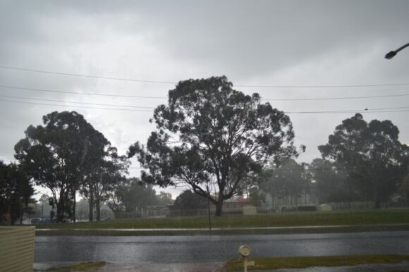
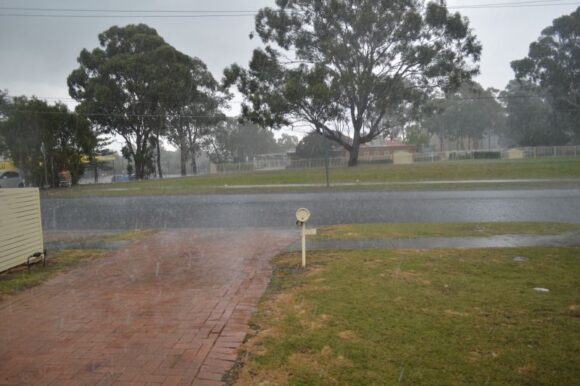
During the afternoon of Saturday 13 May, small but intense thunderstorms impacted parts of Western Sydney.
What was unusual about this event is that the storms formed over areas west of Parramatta but east of Blacktown then travelled west / north west then weakened.
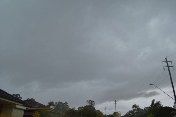
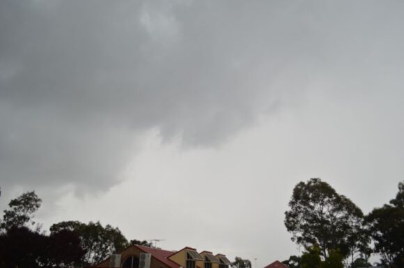
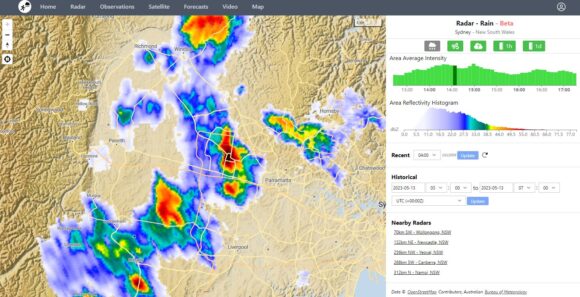
The storm cells initiated after 1 pm, peaked at around 3 pm then waned in intensity soon after. A strong storm cell passed over Blacktown and Doonside. At one point as the rain core passed close enough, I could hear the roar of the rain and even probable hail edging closer. It is probable that small hail did fall over Blacktown City CBD.
This storm was unusual due to its strength. For a period of up to 30 minutes:
- The storm sustained a significant amount of cloud to ground lightning and energetic thunderclaps with at least 2 being so close that the lightning strikes and thunderclaps were simultaneous.
- At one point, it became too dangerous to be outside given the amount of lightning that was occurring.
- Produced intense but brief bursts of rainfall and probable hail just to the east.
- Produced strong winds.
The storm soon went into decay.
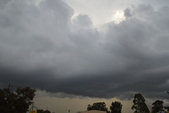
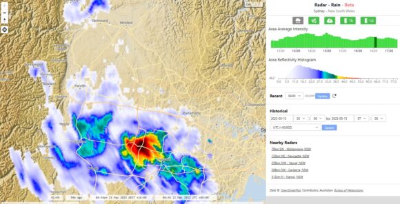
Towards evening, another thunderstorm impacted areas around Bankstown to Liverpool and approached Prospect from the south east. The photos attached to the post shows the storm cell to the south. The storm went into decline close to sunset.
Distant cumulonimbus towers were observed to the east at sunset with their tops being illuminated by the setting sun.
Attached are radar images of the storms. The first one is zoomed into Blacktown City with the core of the storm directly over the CBD area (The darkest area shown in black).
The second image shows another cell north west of Liverpool at peak intensity.
My photos provide some viewing of what was occurring during this event.
Some rainfalls from this event include:
- Badgerys Creek - 31 mm.
- Bringelly - 25 mm.
- South Creek (Elizabeth Drive) - 23 mm.
- Fairfield City Farm - 18 mm.
- Seven Hills - 13 mm.
Other totals were lighter and most other parts of Sydney received no rainfall.
Such storms are rare for this time of year and occurred only 5 days following a significant cold outbreak across South East Australia which saw snowfalls occur down to relative low levels during Sunday and into early Monday morning and cold morning temperatures across large areas.
The afternoon Western Sydney storm event of Saturday has concluded a dynamic and interesting week weatherwise for south eastern Australia.
