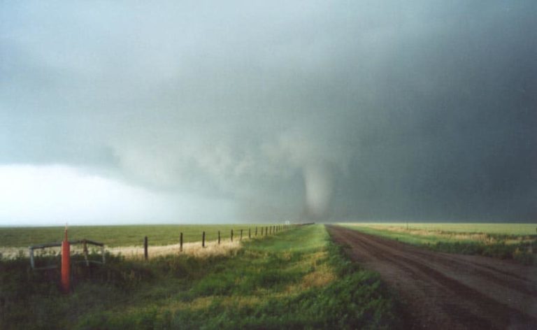
Just a few pics tonight – I made it ahead of the system all the way until the border with Oklahoma. Pretty intense for what we thought was boring early on! Let’s just say I got ahead of the Perryton supercell only to find that the outflow pushed up some nasty storms near the border with Oklahoma! Yes Arnett with base balls clobbering my vehicle busting the windshield and damaging the body on one side!! That is – the side facing north, breaking a light and also almost losing a plastic cover near the mirror! All at night around 10-11pm!
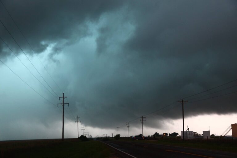
Ahead of the storm in the Texas panhandle was this developing rapidly on outflow. It dropped several powerful bolts – I guess I got one of them – that means a developing powerful updraft I guess. Can you see the base surrounded by bolts! Yes that’s the storm that would consume and batter my vehicle!