Can’t believe this was 7 years ago quite nice
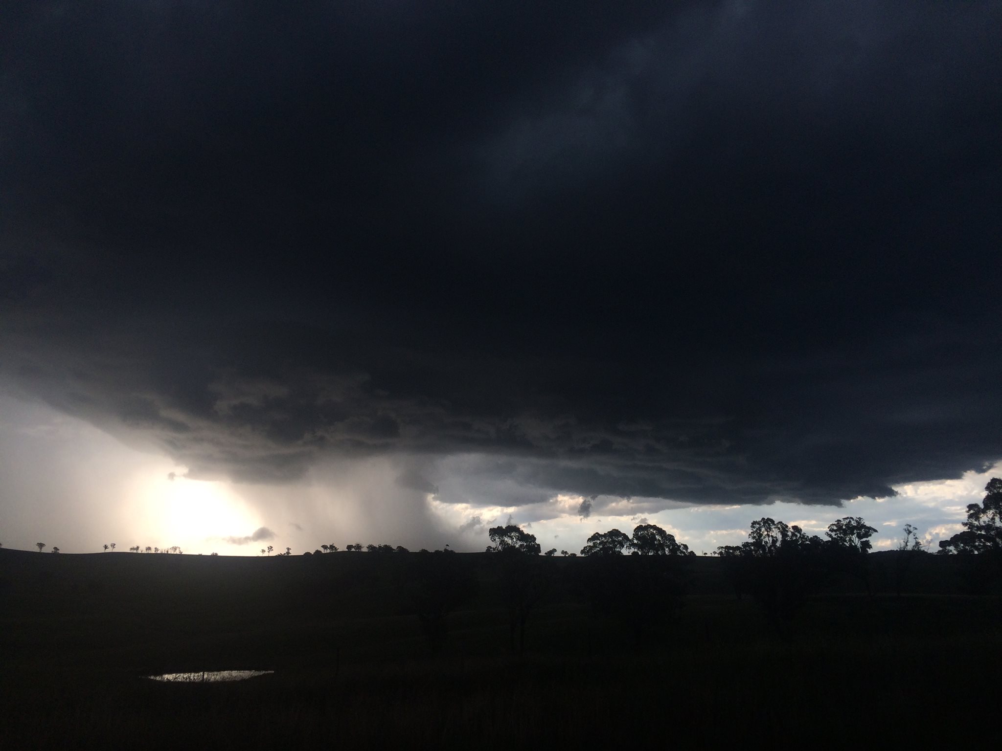
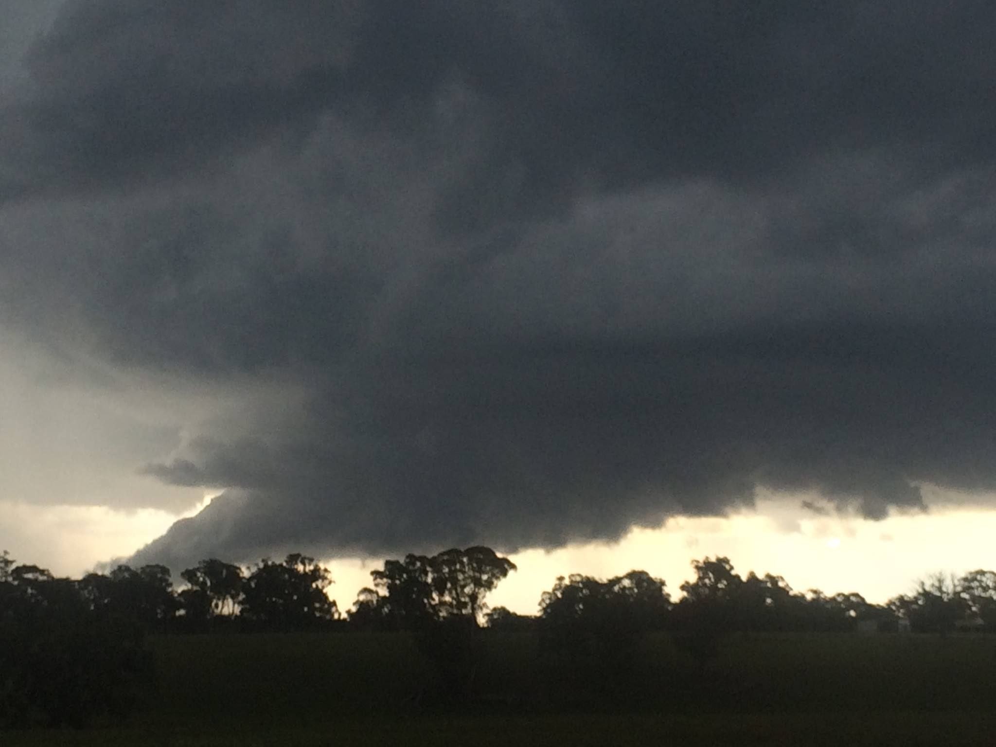
To say I was expecting what we saw today I would be lying - fuzzy anvils and slow storm motions. We only got to Lithgow after work around 5pm and headed straight for the cells NW of Lithgow. Saw a distant wall
cloud and some intense lightning W if Cullen Bullen and thdn time lapsed an awesome base complete with wall cloud near Ilford. The steak at Mudgee went down well.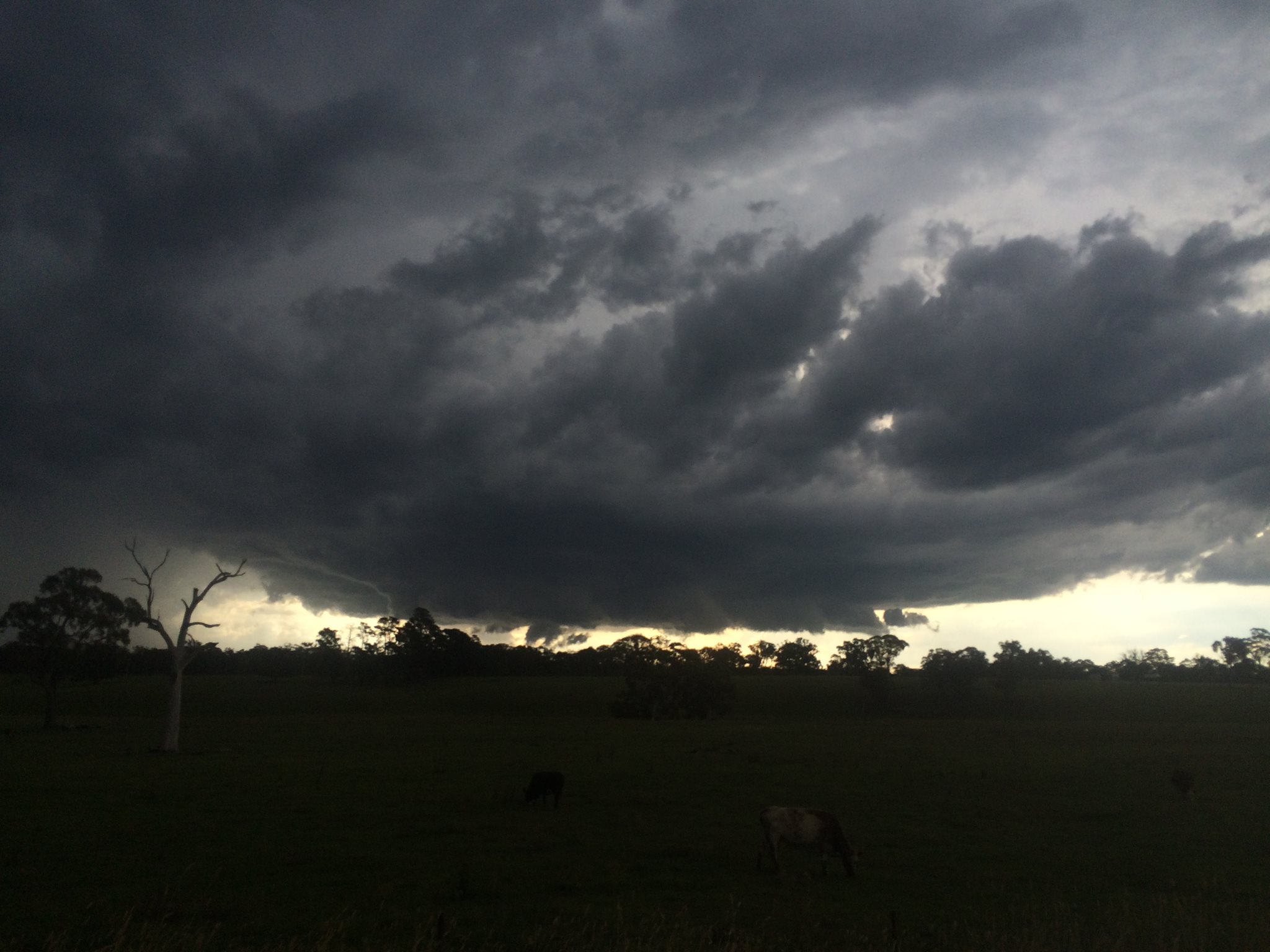


Source

Time lapse should come out well
another amazing storm in this region! might get a place there :p
Nice one mate!
Thanks buddy
Jimmy.😀. 🙌
I do believe a tight boundary increased low level vorticity
Actually the behaviour was similar to a storm with wall cloud in 2001 near Oberon and the behaviour of storms developing ie Oberon and then Bathurst to Mudgee also occurred on 7th January 2001.
Awesome storm structures. Well done on a nice chase!!!
Thanks – I was surprised personally – with initially fuzzy anvils etc but there were some strong updrafts observed so kept going. My eyes literally popped out when I saw what was going. I do believe there were two major cells – will post the first later and then you can see this one which lasted in this behaviour for at least half an hour or more – too many mountains etc
Anyone see this on radar – I did not check doppler but it seemed to be consistent core for a while there.
By the way, as per normal and with respect, I would like to thank Rodney Avery for chasing with me. Being so tired late night arrivals and working (no days off on both days), he did most of the driving! This allowed me to concentrate on decision making and photography.
Ben McBurney, are you able to upload a link to the appropriate radar thanks.
http://www.theweatherchaser.com/radar-loop/IDR712-sydney-terrey-hills/2016-02-12-04/2016-02-12-09