Initially the GFS weather models did not fully reveal the possibility of afternoon showers and thunderstorms within the Sydney region. However, I did a few soundings and noted that if the maximum temperature could exceed 28C and with healthy enough dew points, then this outcome could in fact change.
I made a note of this. At 12.45 pm, I discovered that the temperature in Penrith had reached and exceeded 28C and dew points were a reasonable 18C. I reviewed the earlier soundings and noted much higher CAPE values and healthier Lifted Index totals.
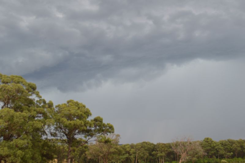
I also identified cloud towers occurring to the southwest of Sydney which were of interest.
I contacted my friend Lance Davis who was keen to do a storm chase with me so he could learn more about weather forecasting for a class subject and project that he is preparing.
I collected Lance and we headed southwest towards Mittagong and the Southern Tablelands.
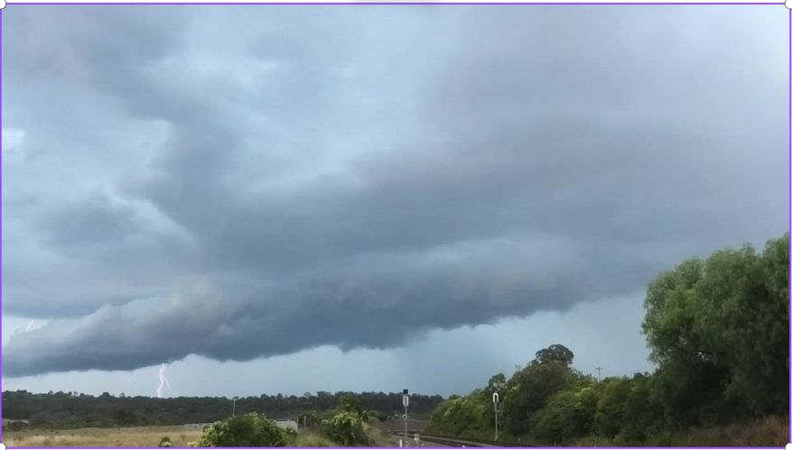
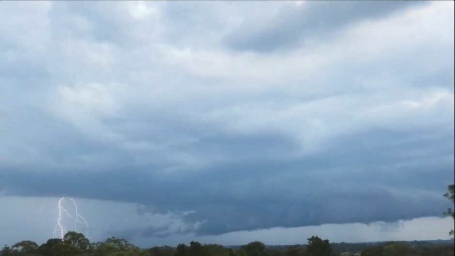
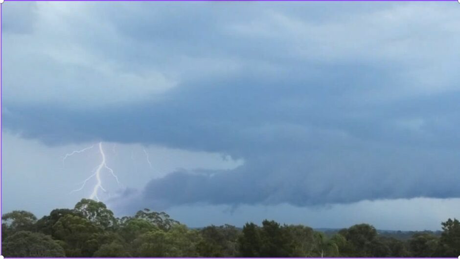
Upon reaching Picton Road, we turned off the Hume Freeway and went into a rural area to watch the behaviour of an isolated thunderstorm to the south west that was producing the occasional lightning flash.
There was also another thunderstorm cell to the north and one more to the southeast but closer to the coast. Of interest was a developing base to the west of that weakening storm cell (Now west of Wollongong) and a number of photos were taken.
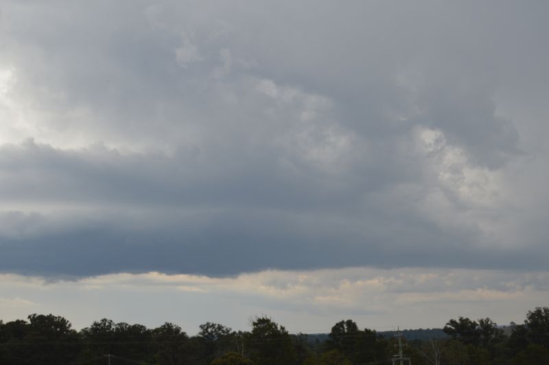
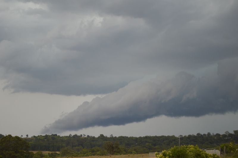
Once I was satisfied that a new thunderstorm was forming, we moved quickly and went further south to Mittagong. Here the storm cell rapidly intensified complete with a brooding base and a new rain shaft.
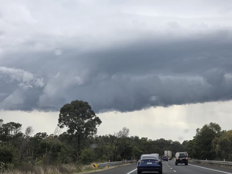
We entered the core of the storm which featured some wind and some heavy rainfall. I believe that the storm did produce hail but to the east of the freeway over a rural area where no roads existed.
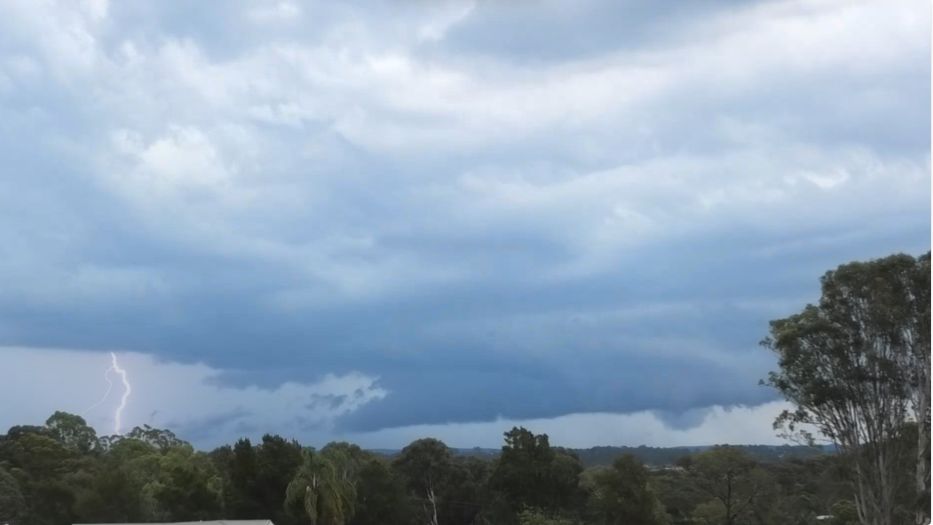
The storm reached peak intensity as we passed underneath it. At Hilltop, we stopped briefly to take some photos of the southern side of the storm then went back north through it encountering heavy rain again. Several cloud to ground lightning strikes were also observed.
Following this, we returned back to Picton Road, stopped and watched the storm go into decay.
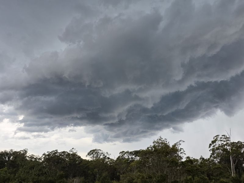
Another thunderstorm cell was developing further to the west that featured some cloud to ground lightning strikes. I took some video of this. Then we made our way to Picton and encountered the core just to the southwest of town.
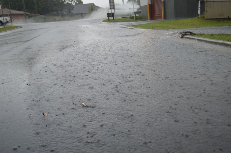
Again, the core featured heavy rainfall and there was even localised flooding within low lying areas from the amount of rain falling and strong wind at times.
Various photos were taken throughout the event.
In terms of rainfall amounts, it will be hard to work out how much fell given that localised flooding was encountered. It appears that there are no rain gauges within the affected area and thus rainfall tallies of 1 to 5 mm at the nearest rain gauges from the afternoon storm event does not represent what fell within the local area.
This was the second major thunderstorm of the day. Afterwards, the storm went into slow decay with the rain easing. We returned back to Blacktown via Narellan.
There was another thunderstorm well to the northwest around Bilpin which would have been interesting had we been within that area. As it was not possible to reach the cell from our location, the chase was declared over.
A special thank you to Lance Davis who accompanied me for the chase and credit is given to him for some of the photos that appear. This was a great help as it allowed me to focus on the driving while Lance was taking photos during the most important part of the chase.