A stream of tropical moisture and cloud has filtered southward into Southern New South Wales and Victoria delivering some very good rainfall at some locations while other locations missed out.
This appears evident across Victoria in which a large cloud mass spread across the state during Sunday and brought some desperate rainfall across parched areas of the state following a difficult summer.
The good falls appear to be hit or miss despite the large cloud mass that passed over.
In particular, some areas of the Mallee region (Northwest Victoria) received between 25 and 45 mm such as 42 mm at Swan Hill but a township called Kyndalyn Park to the northwest of the town barely received 4 mm to flatten the dust.
Further, most of the southwest region of the state received less than 10 mm with some localities receiving less than 1 mm.
Where thunderstorms occurred, rainfall totals were much higher.
During this event, numerous towns and localities stretching across the central north of the state received at least 10 to 20 mm during the event.
When this event reached the northeast of the state, much heavier rainfall totals occurred and some of these exceeded forecast expectations. In this regard:
- Osbornes Flat received 121.4 mm.
- West Wodonga received 103 mm (Enough to cause flooding).
- Kiewa received 102.6 mm.
- Rutherglen received 69.4 mm.
This area is located either within the Kiewa Valley or around Wodonga.
Embedded thunderstorms that formed reinforced rainfall amounts and falls exceeded expectations.
At nearby Albury Airport:
- 14 mm fell in 10 minutes between 4.46 pm and 5.56 pm.
- Another 11.8 mm fell in 4 minutes to 6 pm (Effectively 3 mm per minute).
- A total of 55.2 mm from the whole event.
Such rainfall was localised to specific areas. This region has experienced a difficult summer in which:
- A single intense thunderstorm occurred during the evening of December 21 with 40 to 50 mm falling then almost no rain for 2 months.
- Bushfires during January being the Walwa bushfire which is now extinguished.
- Two heatwaves including a seven day period where maximum temperatures reached 40C or more.
- Now this event to conclude a difficult summer.
Thredbo received 111.6 mm and Perisher Valley received 69.6 mm from the event.
Despite the size of the cloud mass, very few other regions across New South Wales received significant rainfall totals.
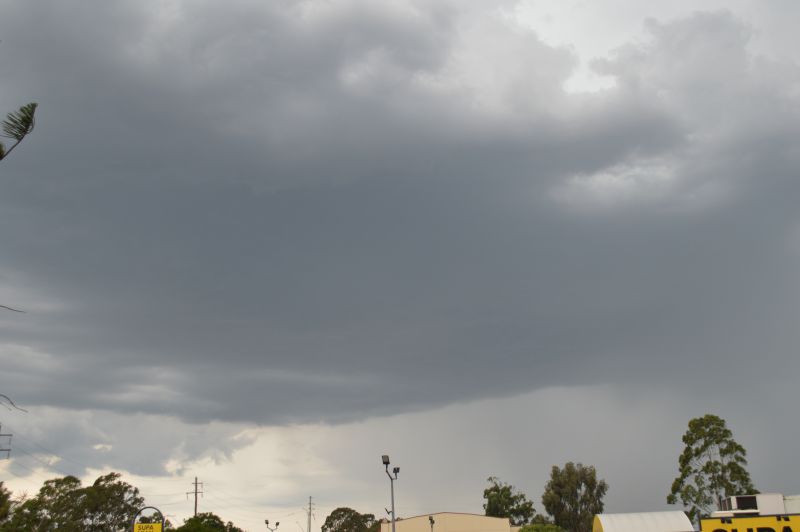
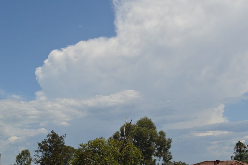
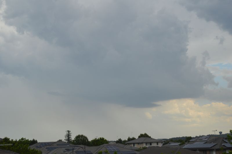
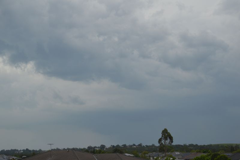
Localised Thunderstorms Form Across Parts of Sydney
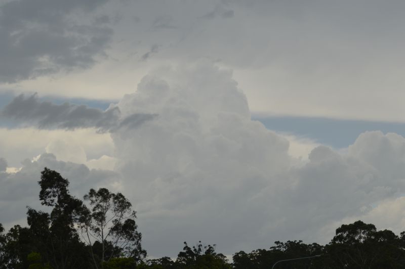
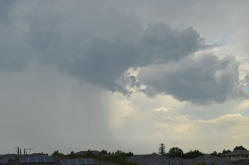
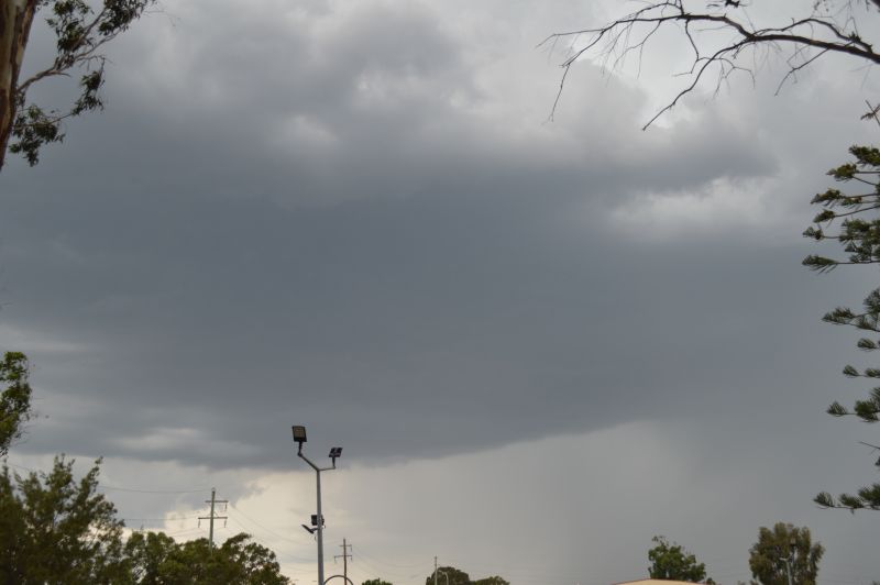
On a more localised scale, thunderstorms developed across parts of Western Sydney during Saturday and Sunday afternoon. They were localised producing heavy rainfall over small areas while other areas such as Blacktown and areas to the east and north completely missed out.
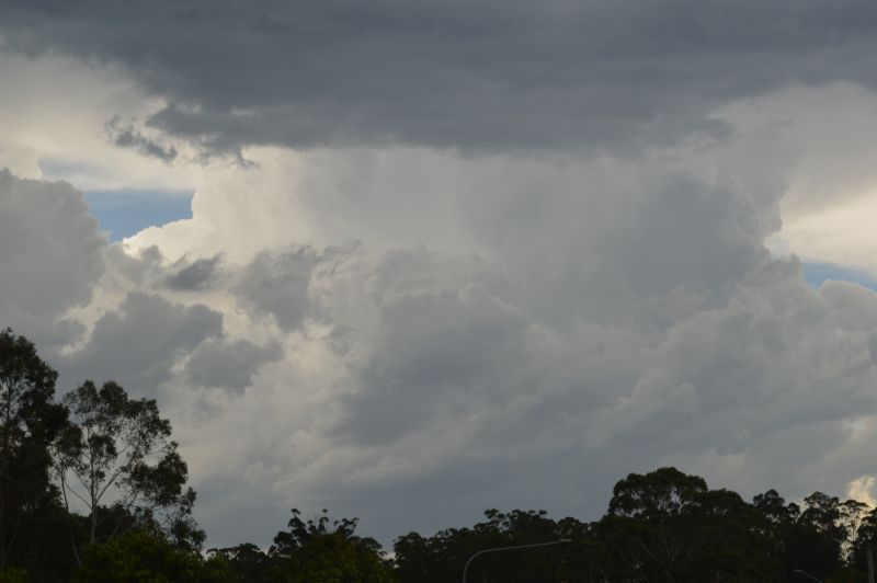
Further to this, such storms developed only to collapse just as quickly as they formed. They had short life spans and little if any organisation for any extended period. Given their erratic behaviour, it was easier to sit on top of a knoll and watch these form then decay rather than try and undertake any storm chase. This turned out to be a good decision.
In addition to this, a series of thunderstorms and rain events impacted Scone (Hunter Valley) Saturday night. This resulted in 102.6 mm falling at Scone Airport and 108.4 mm at nearby Yarrandi Bridge. This event was very localised as nearby localities had 20 to 24 mm or less from the same event.
This shows how hit and miss various events were for the period.
The photos attached to this post are from the storms that did form during Saturday and Sunday afternoon taken from vantage points around Doonside.