The past few days has seen a wide range of weather across Western Sydney including:
- One hot day in which the maximum temperature topped 36C across Western Sydney.
- A cool change.
- Showers including a heavy downpour across parts of the city.
- At least two days when thunderstorms crossed into parts of Sydney but for the most part, this was strictly limited to the western areas or outer western areas of the city.
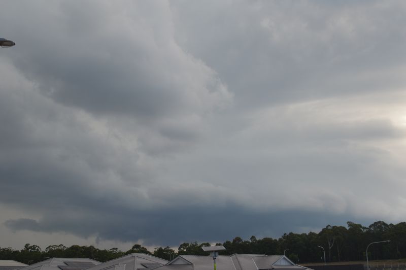
In particular, the thunderstorm event of the late afternoon Monday 9 February allowed me to undertake at least my first storm chase for 2026 even if it was only a local event.
Late Monday afternoon, a very isolated thunderstorm cell tracked northwards toward Campbelltown, Liverpool and Camden from the south. Given its movement, it was possible to intercept this.
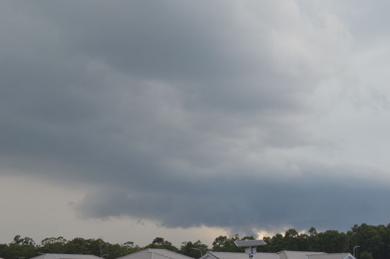
I headed out and drove towards Penrith then south towards Luddenham. As I closed in on the cell, I was noticing that the eastern part was weakening but the north western portion kept back building but more towards the west.
This created issues as a direct intercept was made more difficult to impossible.
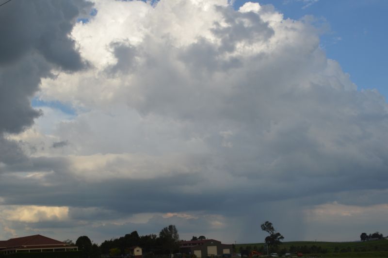
I reached Warragamba which happened to be the closest area that I could get to its base. As shown in the attached photos, a rain free base was evident and a heavy rain shower was evident further west. The core remained out of reach further west due to no available road access.
Occasional cloud to ground lightning strikes were observed. The storm provided a period of continuous thunder before it went into decline.
As the storm tracked to the west of me, heavy rain curtains began to fall from the rain free base and the entire thunderstorm then collapsed in on itself within a very short time. Some twenty minutes later, the storm was in decay leaving a light shower in its wake.
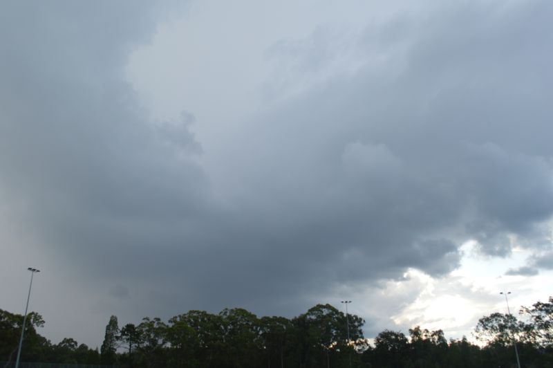
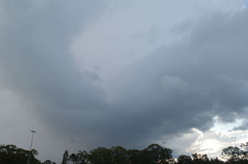
I left Warragamba and returned to Luddenham only to discover a new developing thunderstorm cell to the east which was of interest.
I returned back to Doonside where I was able to intercept this cell. This turned out to be a heavy rain shower without any lightning and associated thunderclaps. This cell dropped most of its rainfall over Doonside before it too went into decline after sunset.
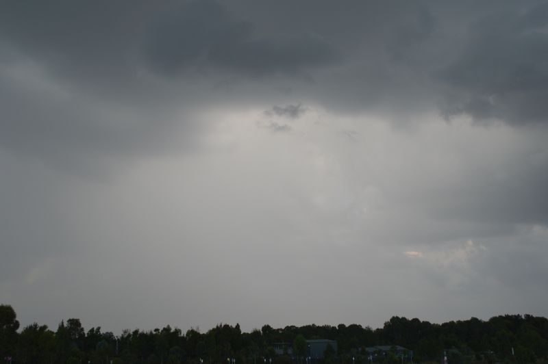
The photos attached shows both storm cells taken during the chase.