Thursday 26 January 2023 was a day that I chased with Jimmy. After spending considerable time early Thursday morning working with Jimmy to work out the weather models and what conditions were likely to occur, we decided to chase locally rather than risk a long drive towards the South Coast.
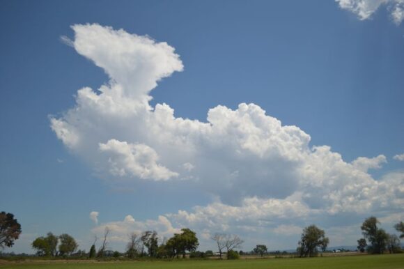
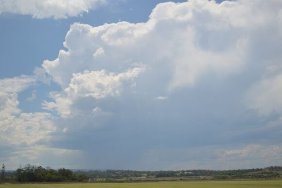
It was clear that it was going to be a tough day chasing because it was identified that there were going to be two potential targets with one to the north west of Sydney and one to the south of Sydney. However, it was also identified that there were going to be issues with the storms that were going to occur and how the southerly change would behave.
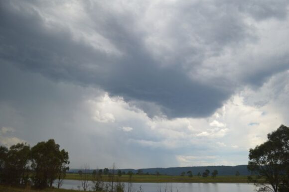
We moved north towards Richmond early afternoon observing the first storms of the day. These were initially weak but later, they were warned for heavy rain, hail and strong winds. The storm cells were relatively small and relatively short lived.
At Windsor Downs, we were observing storms of varying degrees of intensity to the west and decided against going any further north along Putty Road as storms further north appeared to be weakening.
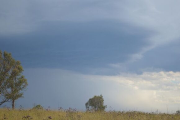
A stop was made near Penrith Lakes to observe storms that were closer to us.
We then made our way south towards a storm that had potential. A particular cell did intensify and we chased it south of Camden then east towards Wollongong along Mt Kiera Road. This became an important chase as it was the storm that had a severe thunderstorm warning issued for large hail, damaging winds and heavy rain.
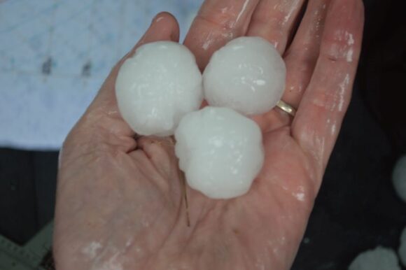
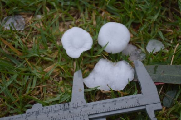
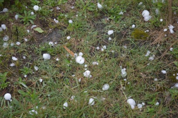
As it was, we were unable to get in front of the storm but managed to drive into and through much of the core experiencing hail to golf ball size. At appropriate locations, hail measurements were taken with the largest stones being up to 4 cm in size. A few hail stones may have reached 5 cm in size as one stone of this size was found but following some melt, it was measured at 4.5 cm.
This was the highlight of the day and made the day worth the effort given the tough conditions faced earlier.
Once back out in the open close to the Hume Freeway, another severe warned storm was observed passing to the south but it was not possible to chase it given location. This storm went out to sea after passing over Wollongong.
An attempt was made to close in on further storm cells further west around Picton and Bargo but these weakened towards sunset. A brief stop was made at Bargo to photograph leaf litter following a major hail event that appeared to have occurred earlier in the day.
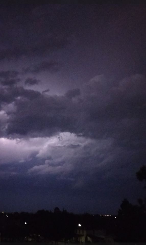
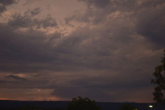
Just prior to sunset, we made our way back north along the Hume Freeway, the M7 and M4 to observe a strong storm coming in over the ranges to the west. After observing lightning and making attempts at filming this, we returned to Jimmys home close by.
Shortly after, a significant hailstorm passed over Glenmore Park producing hail to 2.5 cm in size and making much noise on the roofs of buildings. This event concluded the day being.
- Two hailstorms.
- A confirmed supercell storm earlier in the day along Mt Kiera Road near Bulli Tops.
- Photographed another 4 or 5 storm cells of varying degrees of intensity.
The storms did not follow the forecast models in their entirety as storms struggled to tap the moisture. Storms were high based and given what was occurring, the right decisions had to be made quickly. Storms were fast moving making any chase made more difficult.
The photos attached shows the events that occurred with the feature of the day being the major hail event along Mt Kiera Road west of Wollongong and Bulli Tops.
