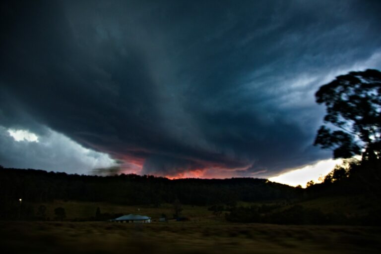
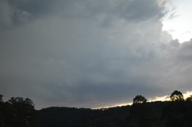
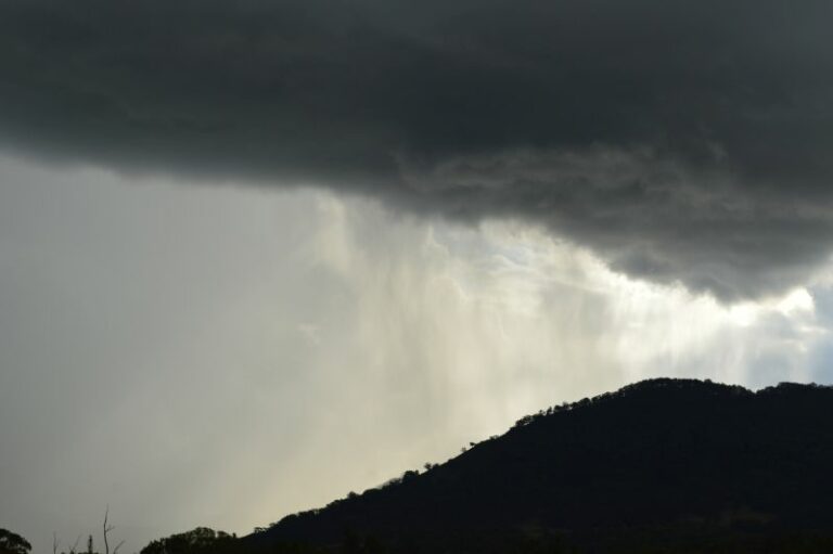
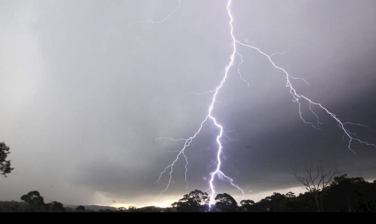
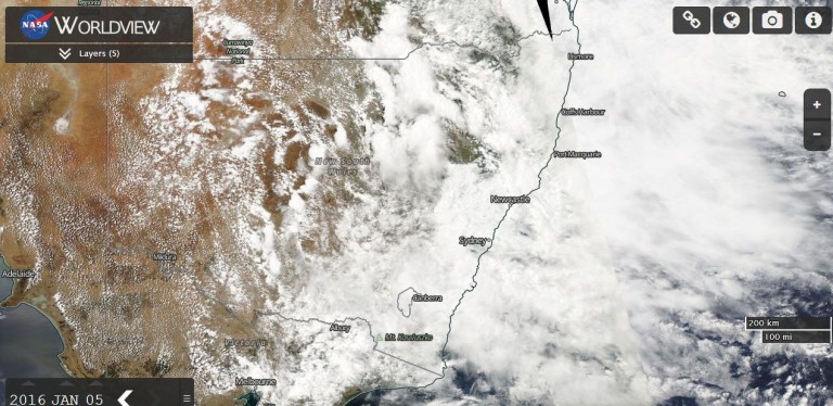
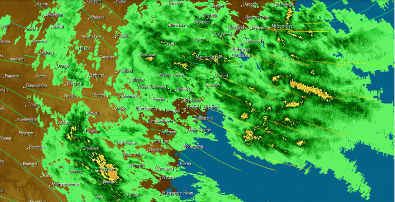
Wednesday 4 January 2023 can only be described as an incredible day and one of the strongest storm chases that I have personally undertaken. Key events of this day were:
- At least 4 hailstorms intercepted being the most that I have ever intercepted in one afternoon with two of those storms producing hail to at least 4 cm in size.
- A major storm intercepted at Muswellbrook that produced hail of at least 5 cm in size with the storm taking the shape and having the behaviour of a supercell.
- Travelled at least 662 km from Doonside and went as far north at Murrurundi on the New England Highway.

I left Doonside at around 8.15 am under partly cloudy skies and headed north towards Singleton via the M2, North Connex Motorway, the F3 then towards Singleton via the Hunter Valley Expressway.
Just north of Gosford, I broke out of the south east change into clearer sunny skies with light north east winds prevailing.
After refueling at Whittingham, I went to a nearby hilltop just outside Singleton to observe a distant storm to the west and to work out my first move.
The storm to the west weakened but I was observing cloud towers close to the western horizon. I did consider going north to Dungog but given the lack of convection in that area, I decided to drive to Muswellbrook. I stopped just west of town to observe a weakening storm to the west south west.
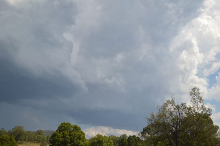
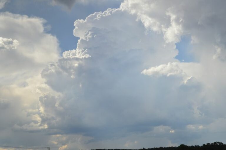
I was able to observe storms to the south east that were impacting areas to the west of Putty Road that were producing strong updraft towers and overshooting tops.


After at least 30 minutes, I drove to Aberdeen. An isolated thunderstorm cell developed to the north west. While not strong, this storm was important as this set the foundations of what was to come. I drove further north to near Scone where I stopped to observe a new storm developing over the hills to the east which later merged with the first cell that had weakened.


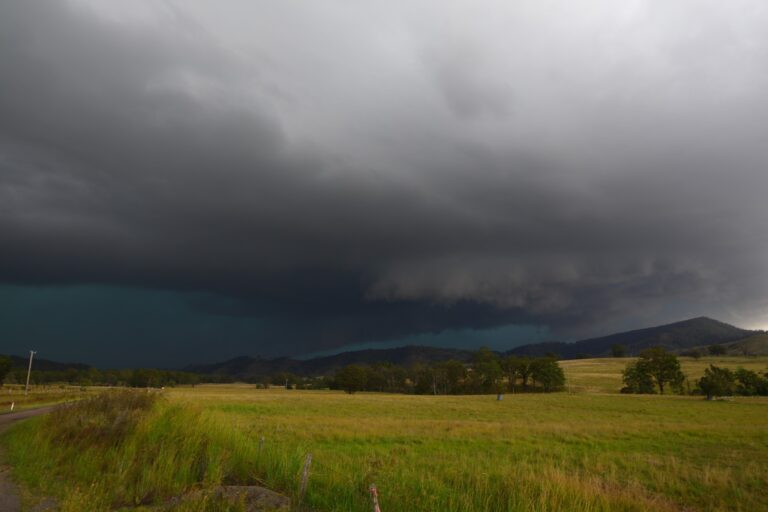
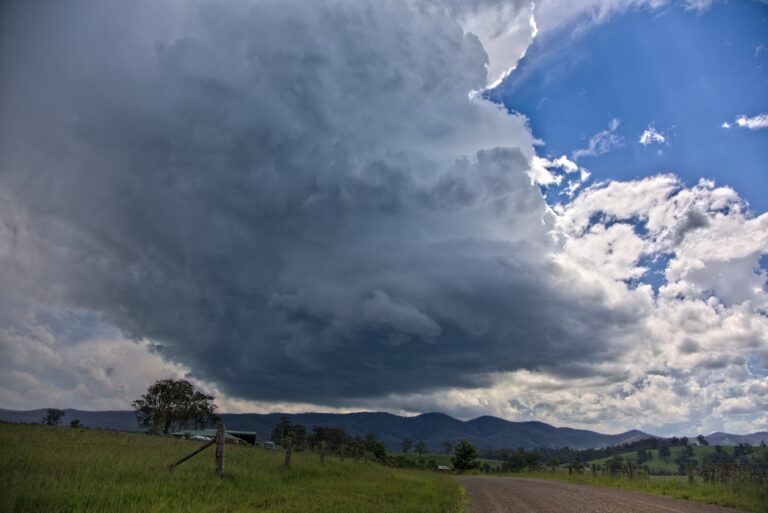
After checking the weather, I noted a significant storm further north which if I timed it right, I knew that I could intercept it along the New England Highway. I drove to Blandford then Murrurundi where I had full view of a strengthening storm including a fresh storm base. This cell was now coming directly towards me. The storm continued to intensify. I made attempts to film lightning and just missed filming a solid cloud to ground strike close by. The storm did not produce a significant amount of cloud to ground strikes but it did pass over the top of me.

The storm featured strong to gale force winds, intense rain and then hail. I observed hail being solid stones to at least 1 cm in size. I stayed back to document the hail and went looking for the larger stones. Much of the hail was solid and measurements made identifies stones of at least 1 cm. Given the lack of roads and presence of hills, I cannot rule out larger stones given the intensity of the storm but where I was, I did not see anything larger than this.
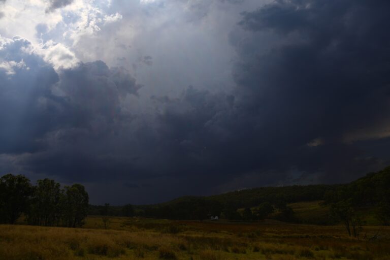
As the storm weakened within the hills to the east, I observed a new intense storm form to the south. This storm had interesting features and colours including an intense rain core which most likely would have also featured hail. I could have easily intercepted this but another cell to the west took my interest and thus I waited.


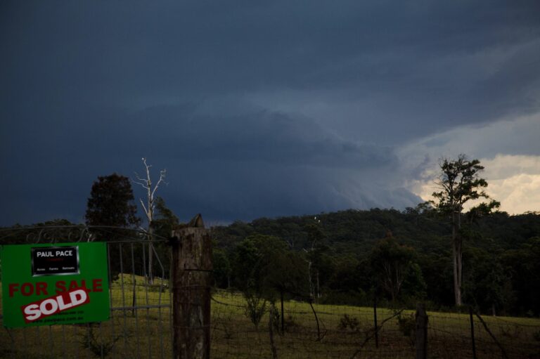
That cell soon went into decay but the western cell intensified further. I then drove back south towards Wingen where the second storm developed a significant base. I was informed by another storm chaser that this storm may have produced a wall cloud. I did see a lowering but unable to stop. I soon found myself underneath the cloud base. I eventually found a place to stop but was in a dangerous location due to cloud to ground lightning starting to occur. I took 2 photos and had to retreat back to the car.


I quickly moved to another location which placed me in the path of the hail core. Heavy rain was replaced with a period of hail. At first the hail was small being around 1 cm in size but the stones became larger as the storm progressed. Flat hail stones up to 4 cm across started falling around me.

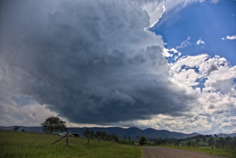
I managed to grab a large stone and take a general measurement. It was approximately 4 cm across. Hail of all size and shapes fell. After the storm had passed, I could make out the profile of the storm which was difficult to photograph. This storm had an overshooting top and an incredible profile against the afternoon sun.
Many photos were taken of the storm cell. Given location and the lack of east bound roads, it was not possible to chase the storm any further.
Another storm caught my interest and I later drove back to Wingen where I photographed a new developing storm base. The storm went on to produce hail to 1.5 cm at and around Wingen.
With no more storms developing, I left the area and travelled back towards Muswellbrook. I noted a developing storm to the west including a cloud base. I went to a vantage point on the eastern edge of town where I was stunned to see what was coming towards me.


This storm had different behaviour than the others that I had intercepted for it was moving fast and had constant rumbling of thunder. I could tell that this was likely to be a supercell given its structure. The town of Muswellbrook took a direct hit with large hail. Due to the size of the hail and my exposed location, I drove 1 km east to escape the worst of it then drove back into town to observe what had occurred. I was observing hail fall and measuring stones 3 to 5 cm in size. I collected one stone approaching 5 cm in size even after brief melt.


After taking more photos I made my way home arriving home at around 10.30 pm.
All photos were taken using 2 DSLR cameras being the Nikon D3200 and D5200 with the Nikon D5200 being used for the more distant photos for better clarity.