This for real, I suspect this is a land spout rather than a nader.
[fb_vid id=”photo_id”:”2453213941577133″”][fb_vid id=”2453213941577133″]
Places
Storm types
Pages
Chasers
Effects of Storms · General Weather
This for real, I suspect this is a land spout rather than a nader.
[fb_vid id=”photo_id”:”2453213941577133″”][fb_vid id=”2453213941577133″]
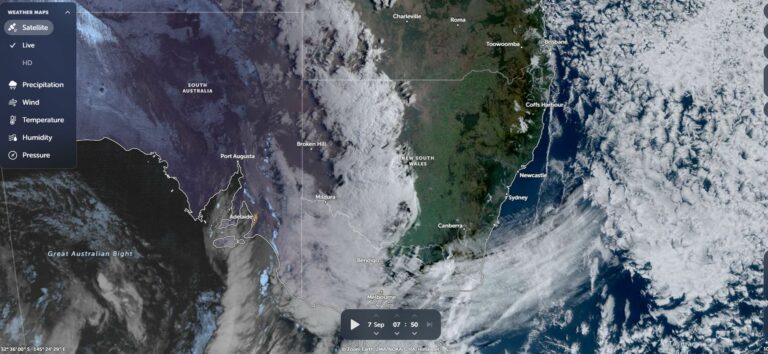 Rain event Sunday to Thursday for Southern Australia – 7 to 10 September 2025
7 Sep 2025 · Southern Australia
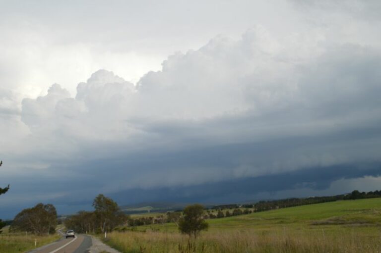 A comparison of the weather Jogjakarta Indonesia to that of Australia – The incredible contrasts – August 1 to August 31 2024
7 Sep 2024 · Yogyakarta, ID
 Verified Page
7 Sep 2020 · Fort Walton Beach, FL
 LP supercell near Lamesa, Texas on the western edge of an outflow boundary left …
7 Sep 2020 · Lamesa, TX
 Pyrocumulus this afternoon in the lower Blue Mountains
7 Sep 2020 · Lower Blue Mountains, NSW
 A couple of the Phone pictures of the hailstones I could collect. The hail roar …
7 Sep 2020 · Quinter, KS
Re: Darwin storm events 2009/10 season
7 Sep 2009 · Darwin, NT
Re: Darwin storm events 2009/10 season
7 Sep 2009 · Darwin, NT
No rain, bushfires, storms
7 Sep 2009 · Northern Rivers, NSW
Storms and Rain NSW / QLD : 7-8 Sep 2009
7 Sep 2009 · NSW / QLD
You must be logged in to post a comment.
Looks tornado to me from supercell style rotation
Any radar?
Nothing on archive footage of Yarrawonga rader, there was some rain.
https://theweatherchaser.com/radar/IDR493-yarrawonga/2019-09-06-08/2019-09-06-22
Could have formed along the squall line ?
Yea, I think that would be the case, if it was I would consider it a land spout rather than tornado.
Landspout I don’t think so as they form along boundaries with steep lapse rates
QLCS?
Ah right, I saw something similar to this form on a non storm day along a convergence line in ACT over Lake George. Strong southerly change with a cold front.
Cool thanks for that.
This is very dynamic
I expanded the time range for the radar and it showed some other activity. https://theweatherchaser.com/radar/IDR493-yarrawonga/2019-09-06-00/2019-09-06-22
There is a small cell to the southeast around 4pm which cores black for a bit, it lines up pretty much on a map where the person filmed this.
Yep I can straight away see a left propagating cell likely a supercell
Does that cell match the time of the tornado and location?
Tornado, shear yesterday was strong. I watched a cell on lightning tracker in 3 radar frames go from tablelands west of merimbula, to well offshore