Following on from the previous post, it appears that the tropical cyclone Nathan is starting to close in on the north Queensland Coast and the Bureau of Meteorology is calculating that it should make landfall at least somewhere north of Cairns but south of Cohen on Friday. This would place the town of Cooktown near its path.
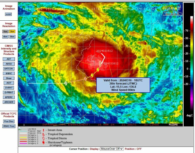
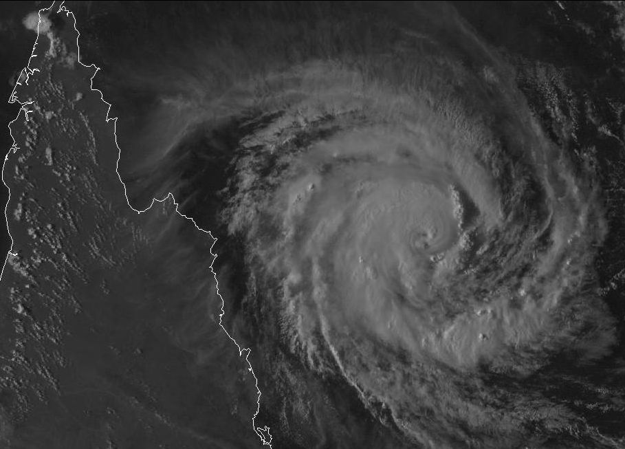
As shown in the satellite picture, this storm has now developed into a classic spiral storm system that is circular in shape with spiral bands of rain and storms forming part of the storm.
The storm is still out to sea but there is evidence of movement closer to the coast. As such the storm is now north west of Willis Island weather station and closing in on Bougainville Reef Weather Station.
While out to sea, the Willis Island Weather Station recorded a maximum wind gust of 83 km/h at 2.05 am 18/3/2015. Winds have now eased at this station. Some 89 mm of rain occurred here in the 24 hours to 9 am 18/3/2015.
The weather station at Bougainville Reef has also recorded wind gusts to 82 km/h at 1.51 pm and 1.58 pm 18/3/2015. The core of the storm is ENE of Bougainville Reef but east of Cape Flattery. Models suggest that the storm will intensify into a Category 3 system as it crosses the coast.
Communities are on alert for this storm now which is relatively small but highly compact. It remains to be seen exactly where it will cross the coast due to its unusual movement.